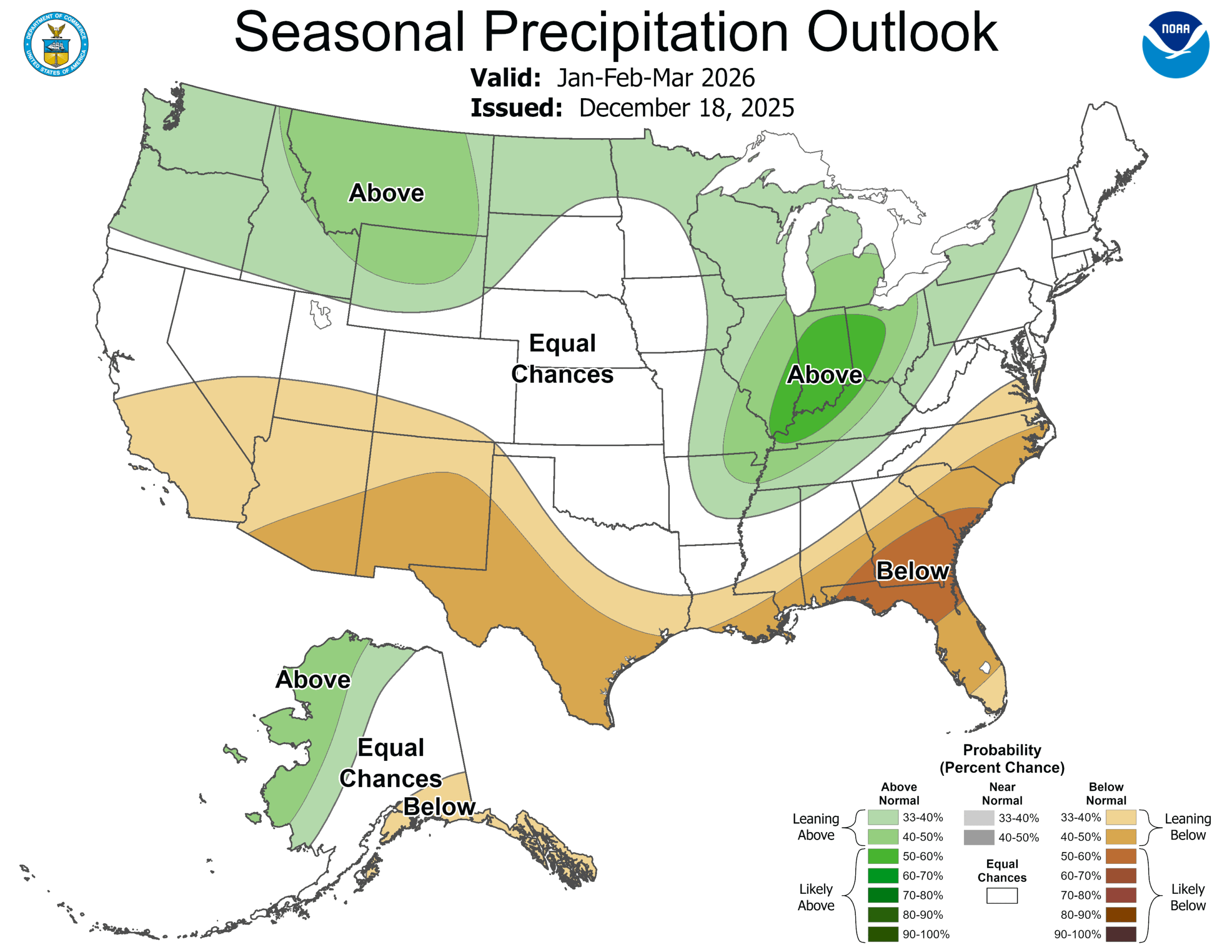
We are sadly only going to be spending our time in Rome, Georgia, and not Rome, Italy. It would be a bit warmer in Italy.
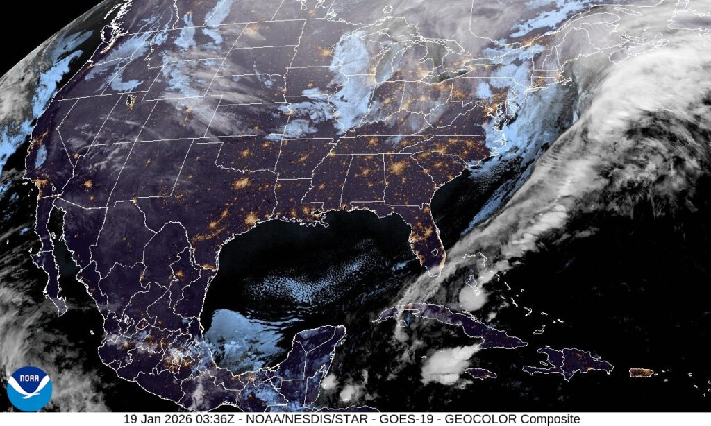
At 1053PM, ET, Rome was reporting an unusually brisk 28 degrees with clear skies. Throughout the region, skies were clear and temperatures were below freezing as a jet trough dove deep into the Southeast. An occluded area of low pressure sat over the Great Lakes, with a cold front emanating from a secondary (but as is usually the case, stronger) area of low pressure off the southeast coast of Nova Scotia dangled a surface cold front that had already cleared the Florida Peninsula. There were frost and freeze warnings as far south as Orlando.
The upper level structure that is bringing the cold air to the southeast looks to be pretty entrenched, and a surface area of high pressure is unlikely to move. Calm winds and clear nights suggest that frost is something that residents of Rome should get accustomed to for the next couple of days, at least.
Tomorrow – Sunny, High 47, Low 25
Tuesday – Sunny, High 45, Low 21
TWC: Tomorrow – Sunny. High 50, Low 26
Tuesday – Sunny. High 47, Low 22
AW: Tomorrow – Sunny High 50, Low 26
Tuesday – Plenty of sunshine High 46, Low 22
NWS: Tomorrow – Sunny, High 46, Low 25
Tuesday – Sunny, High 43, Low 20
WB: Tomorrow – Sunny, High 43, Low 28
Tuesday – Sunny, High 42, Low 25
WN: Tomorrow – Sunny, High 46, Low 25
Tuesday – Mostly sunny, High 43, Low 20
CLI: Tomorrow – Clear, High 47, Low 25
Tuesday – Sunny, High 46, Low 21
This is dangerously cold for this part of the world, where heating systems aren’t as robust as they are further to the north. Brr! At least the sun will be out in the day time, right?