Our road trip tonight takes us in a route that we normally wouldn’t for this trip, because of road closures still left by hurricane Helene. As it stands, this will be a two day adventure across the Appalachians and to the southern Plains, covering 1218 miles. This mountainous sojourn will be at a pace of 68.2mph, which is pretty quick, actually. The first day will end after 545 miles, which is a mighty bit of driving.
DAY ONE (Tuesday)
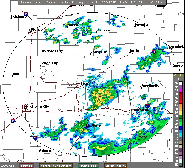
Our drive out of North Carolina will have to swing north because of road closures, and we will snake through Virginia. As we make our way through the southwestern part of the shape, the moist onshore flow wrapping around a ridge of high pressure will lead to at least some low clouds, but potentially some fog and mist, particularly from Hillsville to Wytheville. Eastern Tennessee will give us a bit of clear air in which to enjoy the sights. We will reach Lebanon, just before Nashville, and await a line of showers and thunderstorms that will dampen Lebanon as we sleep.
DAY TWO (Wednesday)
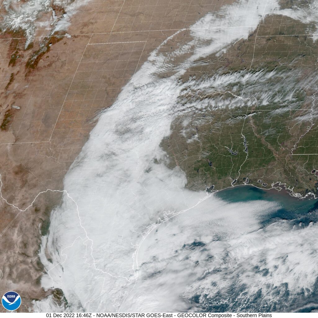
Or will it? Instead of moving into Lebanon, Rafael’s presence in the Gulf will stall the front and allow it to wither. We will pass through a few showers between about Jackson, Tennessee and Little Rock, which may make passing through Memphis a bit of a headache, but we will see some clear skies in the Ozarks. We’ll trek into eastern Oklahoma with cooler temperatures and clearer skies than Tulsa has seen lately.