Weather information receivers, the general public, expects perfection for their specific spot every time. That said, everyone had forecast for rain in the Quad Cities on Saturday. We knew in spots it would be heavy, and nearly everyone called that out. The Upper Mississippi Valley indeed saw some showers, but it was only .06″ worth of rain in Davenport, though places around there saw more. Is it a problem, then, that they didn’t see more in Davenport, when most outlets suspected it? Probably for some people. Not for me, either. The Weather Channel had the top forecast. Actuals: Friday – High 65, Low 35 Saturday .06″ of rain, High 54, Low 41
We’re headed southeastward to start the work week. Getting into the middle of November, a trek to the beach might be a good idea. It will take two days to get from Illinois to the Treasure Coast, covering 1162 miles. That will cover nearly 70 miles an hour, and we will over 554 miles on our first day, leaving a longer day for Tuesday. Beach day!
DAY ONE (Monday)
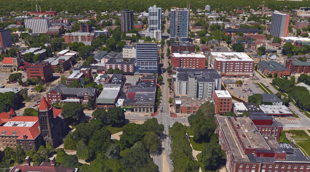
Champaign, Illinois
Low pressure in the Great Lakes has hooked up with the remnants of Rafael at this point, which is slowing the eastward traffic down a bit. By the time we get going on Monday morning, it will have dried out in east Central Illinois, and will be dry, if with some patchy clouds, for our route. The tail of the cold front, fused to the remnants of Rafael, will stall through Georgia, bringing about some mid to lower level overcast through the Smokey Mountains as we pass through Chattanooga. The day will conclude in Calhoun, just north of Atlanta.
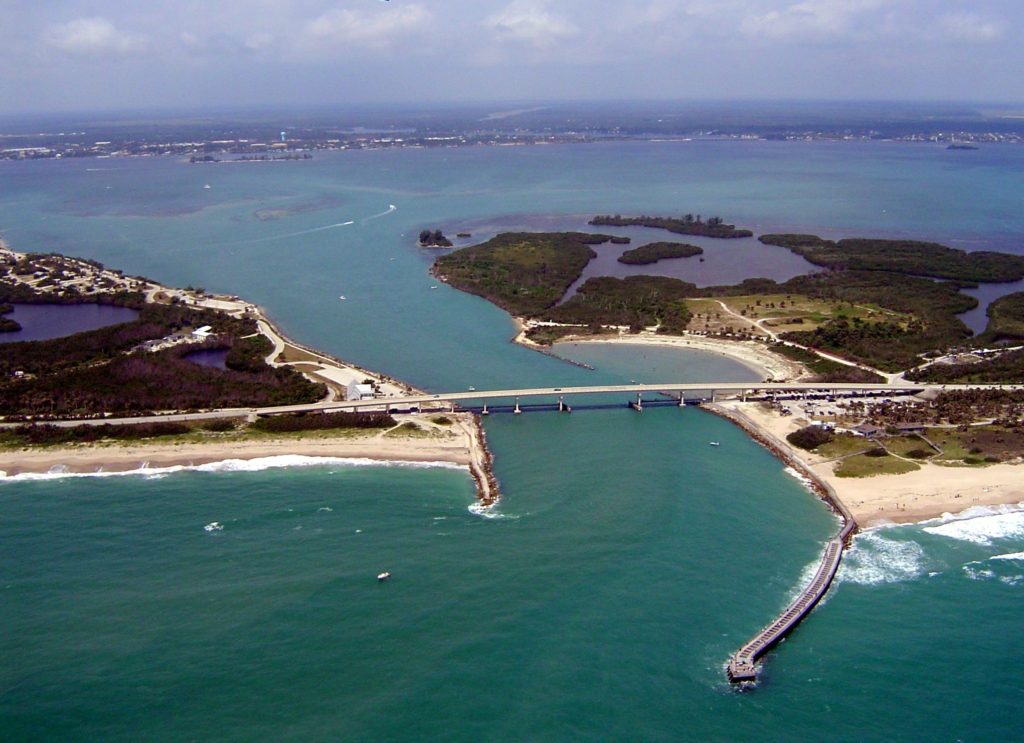
DAY TWO (Tuesday) That low in the Gulf will refuse to go away, but will get forced apart by a burgeoning ridge of high pressure in the eastern two thirds of the country. The low moving out of the Great Lakes will be safely off in the Canadian Maritimes, and our drive on Tuesday to Sebastian will be done with very good conditions, save for all those Florida drivers to worry about.
We’ll head to America’s Heartland for our weekend forecast. Champaign is the home of the University of Illinois, school with a good meteorology program, and rivals of my Purdue Boilermakers.
At 1053AM, ET, Champaign was reporting a temperature of 55 degrees with clear skies. High pressure was seated over the Great Lakes, thanks to a shortwaved ridge riding the greater jet structure. This means that while it is sunny in east central Illinois, it is also fairly cool. A perturbation moving out of the base of the mean trough is starting to send some high clouds into the area. While it is cool and calm right now, a couple of features, the remnants of Rafael in the Gulf and the perturbation in the trough poise to make the weekend a bit less pleasant. Rising moisture out of the Gulf will carry with it some additional warmth tomorrow. The well wound system in the center of the country is rapidly occluding, but is generally well organized enough to transfer airmasses, and send some worthwhile cold air into Champaign behind the cold front tomorrow evening. This will allow the murky shower and perhaps isolated thundershower activity not to overstay its welcome. Clearing will come by the end of the day on Sunday. Tomorrow – Mostly cloudy, with rain in the afternoon and evening. An isolated thunderstorm can’t be ruled out. High 58, Low 40 Sunday – Rain early, then clearing and warmer with sunlight, High 63, Low 49
TWC Tomorrow – Cloudy skies (Late rain), High 59, Low 40 Sunday – Sun and a few passing clouds (Early rain) High 64, Low 52
AW: Tomorrow – Increasing cloudiness (Late rain)High 60, Low 41 Sunday – Breezy and pleasant with periods of clouds and sun High 62, Low 46
NWS: A 20 percent chance of showers after 3pm. Mostly cloudy, High 60, Low 40 Sunday – A 40 percent chance of showers before noon. Mostly sunny, High 64, Low 49
WB: Tomorrow – Partly sunny in the morning, then a slight chance of showers in the afternoon, High 60, Low 42 Sunday – Mostly sunny, a chance of showers in the morning, High 62, Low 49
WN: Tomorrow – Partly cloudy with showers and isolated storms, High 58, Low 39 Sunday – Partly cloudy with isolated showers, High 62, Low 52
CLI: Tomorrow – Light rain showers, High 58, low 40 Sunday – Sunny, High 63, low 52
It’s going to be active and wet this weekend, though not a complete drencher. Still, if it is going to be this cool, it’s pretty gross. Clouds are already filtering in across the region.
Davenport is the largest of the Quad Cities, lying on the border with Illinois. You would think the Quad Cities would have more people than the Twin Cities, right? One of life’s mysteries.
At 1252PM, CT, Davenport was reporting a temperature of 55 degrees with clear skies. After a tumultuous beginning to the week, the clearer skies were a welcome change of pace. High pressure has developed over the western Great Lakes, and will keep the Quad Cities dry through the rest of the work week. The trough that had lingered in the western US for nearly a week is beginning to wither, but not before one last system generates in the southern Plains. This system will begin to move to the northeast through Friday as a tightly wound, organized feature, but as the upper level pattern loses focus, so too will the surface feature. Hurricane Rafael will also be winding down in the Gulf of Mexico around this time, but will lend some of his leftover moisture to the Plains feature, so even if there aren’t strong storms, there will be a a healthy dose of rain on Saturday afternoon and evening. The system will linger through the evening, leaving a dreary night in the Quad Cities. Tomorrow – Mostly sunny, High 60, Low 38 Saturday – Rain, heavy at times in the afternoon, and mostly cloudy with drizzle in the evening, High 53, Low 43
TWC: Tomorrow – Mostly sunny skies. High 62, low 36 Saturday – Cloudy with occasional showers for the afternoon High 55, low 41
AW: Tomorrow – Mostly sunny and pleasant High 61, Low 39 Saturday – Cloudy and cooler, turning breezy with periods of rain and a thunderstorm in the afternoon High 55, Low 42
NWS: Tomorrow – Areas of fog before 10am. Otherwise, sunny, High 60, Low 35 Saturday – A 50 percent chance of showers after noon. Partly sunny, High 57, Low 39
WB: Tomorrow – Areas of fog in the morning. Sunny, High 55, Low 40 Saturday – Partly sunny in the morning then mostly cloudy with a chance of showers in the afternoon, High 55, Low 42
WN: Tomorrow – Mostly sunny, High 60, Low 35 Saturday – Mostly cloudy with light showers likely, High 54, Low 40
CLI: Tomorrow – Partly cloudy, High 61, Low 39 Saturday – Rain showers, High 54, Low 41
I am certainly of the opinion that Saturday will be murkier than the other outlets, which is the reason for my narrower temperature range. The satellite this afternoon in Davenport is very nice.
It was very foggy the last two mornings in Rocky Mount. Tuesday, the sky didn’t clear until nearly 11, but on Wednesday, it cleared a bit earlier. All this led to a warmer afternoon high, and the all important Vitamin D infusion. There was no rain, despite a little bit of moisture flowing in, all of which brought about the morning fog. Accuweather had rain in the forecast, and despite this, the temperature forecast was good enough to give them the victory. Actuals: Tuesday, High 79, Low 51 Wednesday, High 82, Low 53
It’s not often I get to put together a forecast for Phoenix and the high comes nowhere near double digits, but that was the cast this week. Temperatures rose only to the low 70s under a strong upper level trough, and the low were as cool as the low 50s. Each day was a near carbon copy of the other one, so that consistent Phoenix forecast strategy worked wonders, even as temperatures were much cooler than one would normally anticipate in the Arizona capital. It was Weatherbug who put together the top forecast for the day, and a good one it was. Actuals: Monday – High 72, Low 52 Tuesday – High 73, Low 51
The autumn is scary season for more reason than one reason. Milton followed Helene in September, battering the west coast of Florida, a drought in the Plains coming to an end, and the first snow of the year in the Mountains and northern Plains. After what has been a pretty scary year for Accuweather forecasters, they can finally point to October as a solid month, and one in which they were victorious.
Racine was a rainy place on election day. There was lighter fare on Monday as well, but 3/4″ of rain came to the southeast Wisconsin city on Tuesday, which really put a damper on things in the state. Cold air moved in behind the rain this morning, leading to a foggy situation in the northern Plains. Also, it slowed the cooldown across Wisconsin, with the low temperature for Tuesday settling about halfway between what the outlets who have extended hourly temperature outlooks and those that don’t had for their Tuesday low. This was a boon for the Weather Channel, who narrowly won the forecast, having only 1 degree of error elsewhere. Actuals: Tuesday – .17 inches of rain, High 67, Low 58 Wednesday – .78 inches of rain, High 67, low 56
Our road trip tonight takes us in a route that we normally wouldn’t for this trip, because of road closures still left by hurricane Helene. As it stands, this will be a two day adventure across the Appalachians and to the southern Plains, covering 1218 miles. This mountainous sojourn will be at a pace of 68.2mph, which is pretty quick, actually. The first day will end after 545 miles, which is a mighty bit of driving.
DAY ONE (Tuesday)
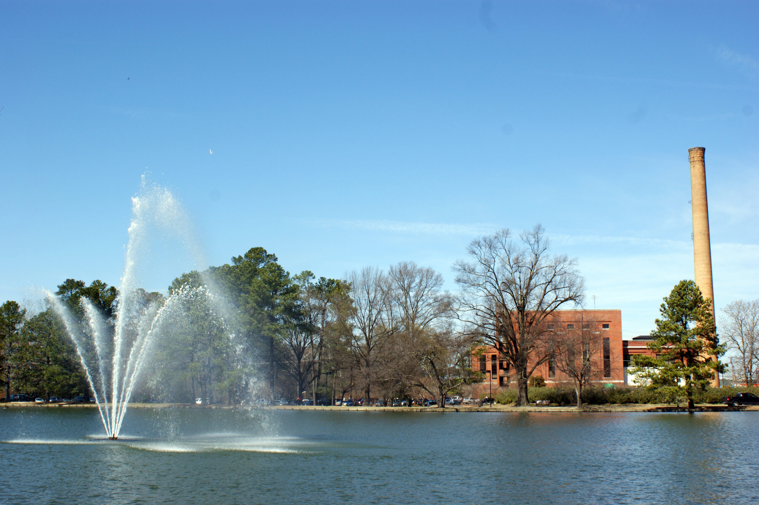
Rocky Mount, North Carolina By Harris Walker – https://www.flickr.com/photos/harriswalkerphotography/3342646285/in/album-72157615074534836/, CC BY 2.0, https://commons.wikimedia.org/w/index.php?curid=61707633
Our drive out of North Carolina will have to swing north because of road closures, and we will snake through Virginia. As we make our way through the southwestern part of the shape, the moist onshore flow wrapping around a ridge of high pressure will lead to at least some low clouds, but potentially some fog and mist, particularly from Hillsville to Wytheville. Eastern Tennessee will give us a bit of clear air in which to enjoy the sights. We will reach Lebanon, just before Nashville, and await a line of showers and thunderstorms that will dampen Lebanon as we sleep.
DAY TWO (Wednesday) Or will it? Instead of moving into Lebanon, Rafael’s presence in the Gulf will stall the front and allow it to wither. We will pass through a few showers between about Jackson, Tennessee and Little Rock, which may make passing through Memphis a bit of a headache, but we will see some clear skies in the Ozarks. We’ll trek into eastern Oklahoma with cooler temperatures and clearer skies than Tulsa has seen lately.