It’s been a very snowy day nationwide. A quick moving feature starting from the Northern Plains and raced east where there are still winter weather warnings out.
Much is being reported about multiple rounds of storms afflicting the country this coming week, and this first round is informative. You can’t get a bunch of storms unless they are fairly tame and move at lightning speed.
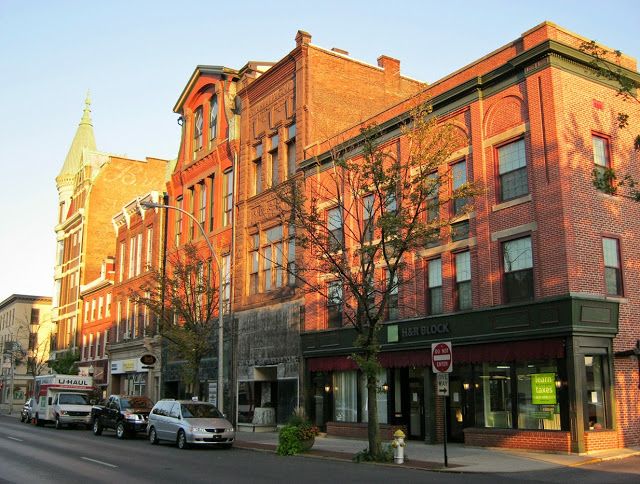
After so many long trips across the country, it’s so nice just to journey within one state. This Keystone State drive will last only a couple of hours and cover just 93 miles of rugged terrain. We are looking at a pace of only 42mph! Let’s roll on, I guess.
Lebanon, Pennsylvania
It’s currently snowing throughout out eastern Pennsylvania, which may lead to some lingering slick roadways, particularly the more lightly traveled and higher elevation roads. The precipitation will be wrapped up as we head out, but chilly wind with the fresh snow will make the drive, short that it may be, fairly challenging. Having a bit of sunshine will help, and the sun has a better chance of peeking out if we leave later in the day.
After some pretty disastrous forecasting results to start the year, I am hoping that a return to the eastern US will give our outlets a bit better fortune. Of course that only works if the weather is quiet. That doesn’t look to be the case…
At 955PM, ET, Lebanon was reporting a temperature of 35 degrees with fog. The entirety of southeastern Pennsylvania was blanketed by fog in the wake of a cold front that was reaching the South Jersey coast. Low pressure has shifted into New England, with clearing air behind the boundary. Tonight, however, the lingering low level moisture and cooling air is fostering the low visibility in the region. Friday will be brisk, but dry at the surface. With clearer skies tomorrow, expect the daily low at midnight, leading to Saturday. The strong seasonal jet is continuing to run west to east through the Ohio Valley into the mid Atlantic. The jet features many streaks, so even though the flow is laminar, redevelopment of surface features is ongoing. Low pressure will reemerge in the Plains and start lifting a warm front towards Lebanon by Saturday afternoon. Some wet snow may fall initially, but it will be followed by an icy mix. Tomorrow – Mostly sunny, High 37, low 26 Saturday – Snow starts in the afternoon, and turns to a wintry mix. High 34, Low 22
TWC Tomorrow – Intervals of clouds and sunshine. High 38, Low 24 Saturday – Cloudy. Snow showers developing in the afternoon High 34, Low 21
AW: Tomorrow – Sunny to partly cloudy and windy; High 39, Low 26 Saturday – Cloudy with a coating to an inch of snow and sleet late in the afternoon; deteriorating travel conditions at nigh High 36, Low 23
NWS: Tomorrow – Mostly sunny, High 35, Low 26 Saturday – A chance of snow before 4pm, then a chance of snow and sleet. Mostly cloudy, High 35, Low 22
WB: Tomorrow – Mostly sunny, High 37, Low 26 Saturday – Mostly cloudy, a chance of snow, freezing rain an sleet in the afternoon, High 34, Low 25
WN: Tomorrow – Partly cloudy, High 34, Low 26 Saturday – Mostly cloudy with a chance of sleet/snow High 35, Low 23
CLI: Tomorrow – Partly cloudy, High 37, Low 22 Saturday – Blowing snow, High 38, Low 20
The system that left the fog left ice this morning. Sub optimal to be expecting it again so soon.
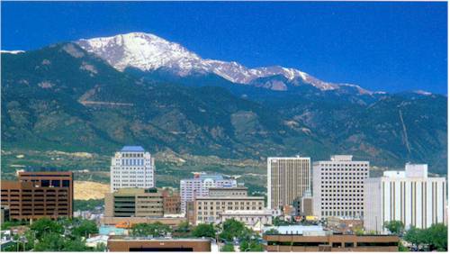
A fun thing about forecasting in the foothills of the Rockies is that it’s tough to say with certainty exactly how your forecast is going to be off. You know that something will go sideways, but what, exactly? In the instance of Colorado Springs, it was our forecast lows on both Saturday and Sunday. We all saw clear overnight skies, which should have meant chilly morning lows. Alas, it was not to be. There were favorable winds for warming up the region, especially some howling southerlies on Sunday, and the cool temperature ended up a full 10 degrees warmer than most forecasts. Colorado springs embarrassed most outlets, but The Weather Channel held on for a W. Actuals: Saturday, High 52, Low 41 Sunday, High 59, Low 41
It was a topsy turvy weather month, with the tragic and catastrophic fires in Los Angeles to the bizarre snow storm in the southeast. The month, and the era are both so out of sorts, it’s good to say that the top forecaster title belonged to the NWS last month.
This is an image of Bridger Bowl ski area’s parking lot. Bridger Bowl is in Montana, northwest of Bozeman, and thus far, they have reported 6″ of snow today. Many other ski areas in the mountains of Montana are in a similar situation, as a ranging warm front slicing through the Montana Rockies is going to dump over a foot on some of the peaks and valleys of the region.
You know, where it’s supposed to be snowing. Low pressure is arriving from the Oregon Coast, laden with plenty of moisture, and merging with a cold pocket descending from the Canadian Rockies, giving the entire region snow. A reinforcing shot is coming in the next 24 hours, and after a break on Thursday, another shot will come on Friday. It’s really going to stack up in Big Sky Country. Better still, this is also bringing some moisture up and down the California Coast.
While the resorts appreciate the snow, they certainly also want guests to make it there safely. The activity looks like it will let up on Sunday.
It seems that this winter, more than normal, we as a collective meteorological community are getting thrown off on our temperature forecasts. Clouds are being more pernicious, more influential than we’ve been properly anticipating. Such as it was in New Orleans, and it was in Holland before that. Clouds really held off a cool down last Monday in the Big Easy, but then, the temperatures plummeted on Tuesday as those clouds really prevented the afternoon warm up. It wasn’t the slow steady progression anyone expected, though I can confirm that after our forecast was over, things started to get back to normal in New Orleans. We’re still awaiting normal for the weather forecasters. It was a tight race, even if not a proud one, and the NWS got the wins. Actuals: Monday – .02 inches of rain High 65, Low 52 Tuesday – High 56, Low 51
We’re taking a three day trek to start the weekend, headed from the coast to the mountains. Our drive will cover 1,766 miles, with the first two days concluding after 565 miles and a surprisingly brisk 70.6mph pace.
DAY ONE (Saturday)
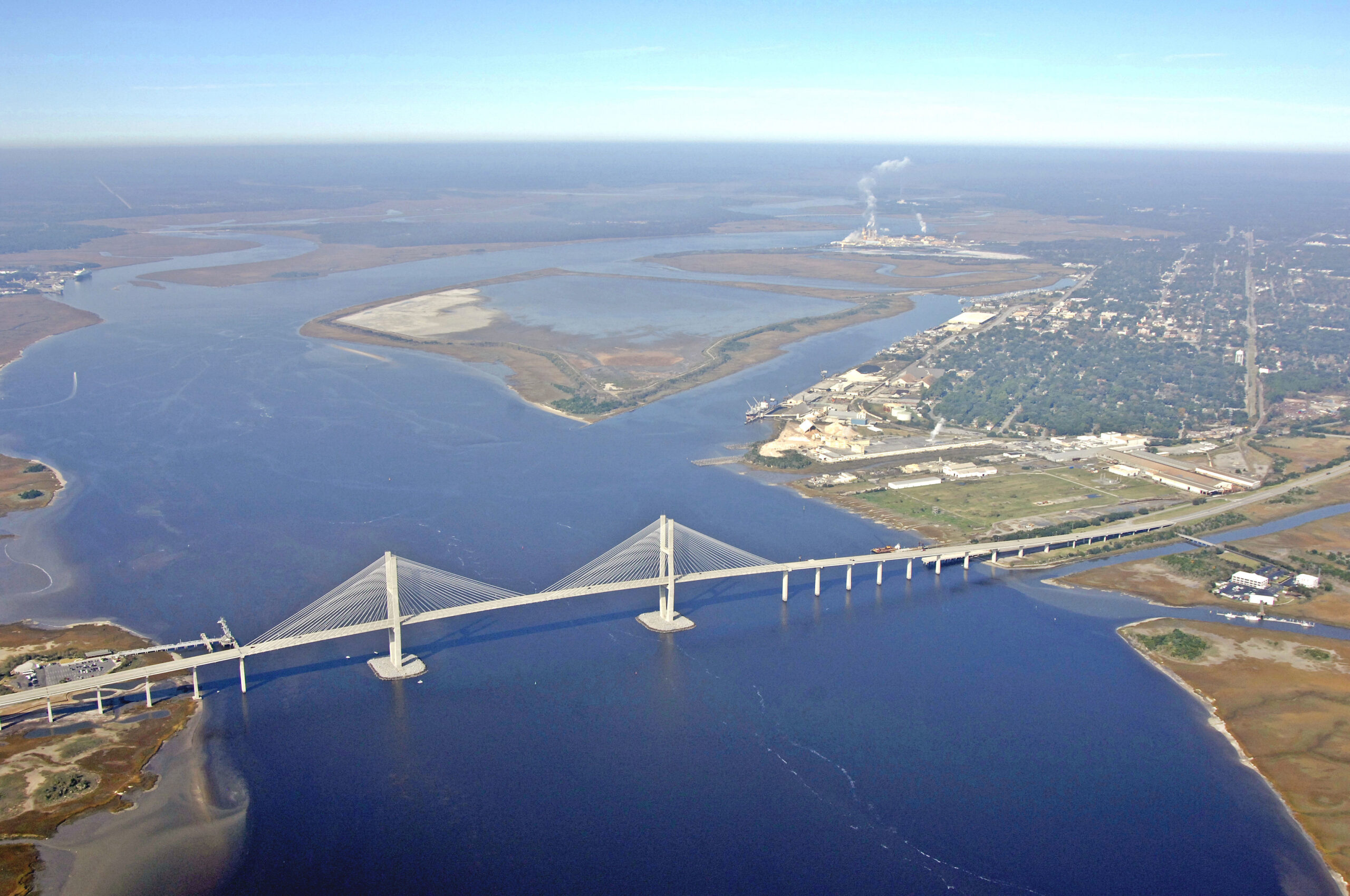
Brunswick, Georgia
There is a bit of drizzle on the Georgia Coast tonight, but the vast feature responsible for it is moving along responsibly. It will be dry in Brunswick by morning, and the length of our drive will remain so. This is good news, because winter driving in Atlanta and Birmingham can be hairy when things go sideways. We’ll get through both cities just fine, and end our day in Fulton, Mississippi.
DAY TWO (Sunday) A large, broad trough that’s been hanging out at the upper levels of the western US for a couple of days is going to dampen out which will kick a lot of the wintry weather back north, and allow the mid-south to remain warm and dry. We will see mostly sunny skies through Memphis and Tulsa, eventually settling into Hallett, Oklahoma without seeing much.
DAY THREE (Monday) As the jet sets up a west to east course through the northern US, a strong boundary will also set up from the northern Rockies through the Dakotas. This is where the action will be. Oklahoma, Kansas and Colorado will be action free, and unseasonably warm.
We’ve been out east for quite some time, so to conclude January, we are going to the Front Range to see what is going on in the Mountain Time Zone.
At 1254PM, MT, Colorado Springs was reporting a temperature of 47 degrees with clear skies. Flow was scattered throughout the region, but upsloping a bit near Colorado Springs, making it the cold spot in the area. The pattern right now is rather outsized, with a deep area of low pressure in the mid-Atlantic, and another large feature moving into the Pacific Northwest. Expect some dampening to the pattern over the weekend, however. The feature in the northwest will start pressing into the northern Rockies, putting eastern Colorado into a warm sector, though more upsloping may prevent Colorado Springs from getting as warm as the atmosphere would otherwise allow. By Sunday, a westerly flow will arrive, thanks to jet support flattening out. Warm air already in place will remain in southeastern Colorado, while precipitation will be stowed in Big Sky Country, leaving Colorado Springs a nice weekend. Tomorrow – Mostly cloudy, High 51, Low 28 Sunday – Partly cloudy, High 57, Low 30
TWC: Tomorrow – Intervals of clouds and sunshine. High 55, Low 35 Tomorrow – Partly cloudy skies. High 60, Low 36
AW: Tomorrow – Mild with times of clouds and sun High 61, Low 33 Sunday – Mild with sun through high clouds High 66, Low 38
NWS: Tomorrow – Partly sunny, High 55, Low 28 Sunday – Mostly sunny, High 58, Low 33
WB: Tomorrow – Partly sunny, High 49, Low 26 Sunday – Partly sunny, High 57, Low 31
WN: tomorrow – Partly cloudy, High 55, Low 28 Sunday – Partly cloudy, High 57, Low 36
CLI: Tomorrow – Mostly cloudy, High 54, Low 31 Sunday – Partly cloudy, High 60, Low 36
Man, temperatures are all over the map, aren’t they? I’m feeling a little bit uneasy about going any higher tomorrow, but temperatures today are having such a tough time getting any warmer, so I’m going to live with it. Here is the satellite, with some low clouds north of the Palmer Divide, and some higher stuff back in the western Colorado Rockies.