It’s the weekend, baby! And our drive is going to cover a lot of country at what is really the right time of year to be taking such a journey. Temperatures are usually perfect for keeping the windows down, while you can stop and take in football games on the weekend, or baseball games in the week. This drive will take 5 days, so plenty of chances to stop, and will cover 2782 miles. It’s a hike, but we will break it up into 543 mile chunks at a pace of 67.8mph. Day 5 will be the longest, but it is also the stretch with the fewest roadside attractions.
DAY ONE (Saturday)

The eastern US needs to dry itself out, and it will get the chance on Saturday. High pressure is going to build across the southeastern US, at least at the surface. It’s strength will help guide Larry and Mindy northward, while temporarily preventing the development of more tropical activity in the Gulf. It’s not permanent, but it is going to last long enough. Expect now weather related impairment as we head from Columbia to Kuttawa in western Kentucky. It’s kind of a resort-y area, so hotels will be plentiful.
DAY TWO (Sunday)
Low pressure is sliding through the Great Lakes toward eastern Canada, and a nearly stationary front will be left in it’s wake. It will try to bubble up some isolated showers and storms along the Minnesota-Iowa border on Sunday afternoon, but the ridge to the south is just going to be too much. Expect instead warmer than normal temperatures along our route, which will end in Dunbar, Nebraska, which is in the southeastern corrner of the state.
DAY THREE (Monday)
Driving across Nebraska, at least to me, is fun. It’s really easy to figure out where you are, as the farmland leads to regularly intervals between towns, and you can move pretty quick, especially on a quiet day like Monday. There will be a spot of shower and thunderstorm activity late in the day though, as we approach the Wyoming border. Isolated thunderstorms will pop up in the front range, or until we are over Sherman Summit approximately. We’ll be on the other side of the high range and through Laramie to the Bath exit about 20 miles west of Laramie.
DAY FOUR (Tuesday)
Storm activity will pick up in the Plains on Tuesday, so nice work getting out of there when we did. Some late showers and storms will pop up in southern Wyoming, but they should hold until we are into Utah. It looks pretty stormy in the Colorado Rockies too, but that is neither here nor there. In this case, “there” is outside of Wells, Nevada, where we will suspend our journey for the night.
DAY FIVE (Wednesday)
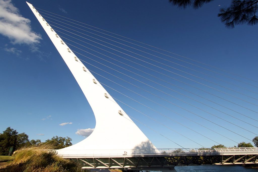
Hopefully, the rain that moved through the northwest today helped to quench some of the fires in Northern California and Oregon, but I don’t have high hopes. Temperatures will be dry, and the sky will almost certainly be tinged an unsettling color as we pass through Sierras into northern California and settle into the northernmost Central Valley, to park our butts in Redding.