Well, the weather hasn’t been too great up here in the Upper Midwest last couple of days. Constant periods of snow and sleet and strong winds have made for an unpleasant week. While our weekend looks to be dry but cold, let’s go see what it’s like in the Southern US. Like WAY far south. Laredo in fact! Any further south and you’d need a passport.
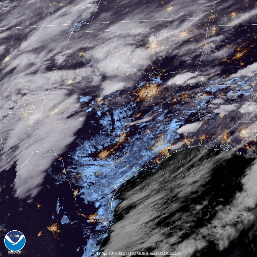
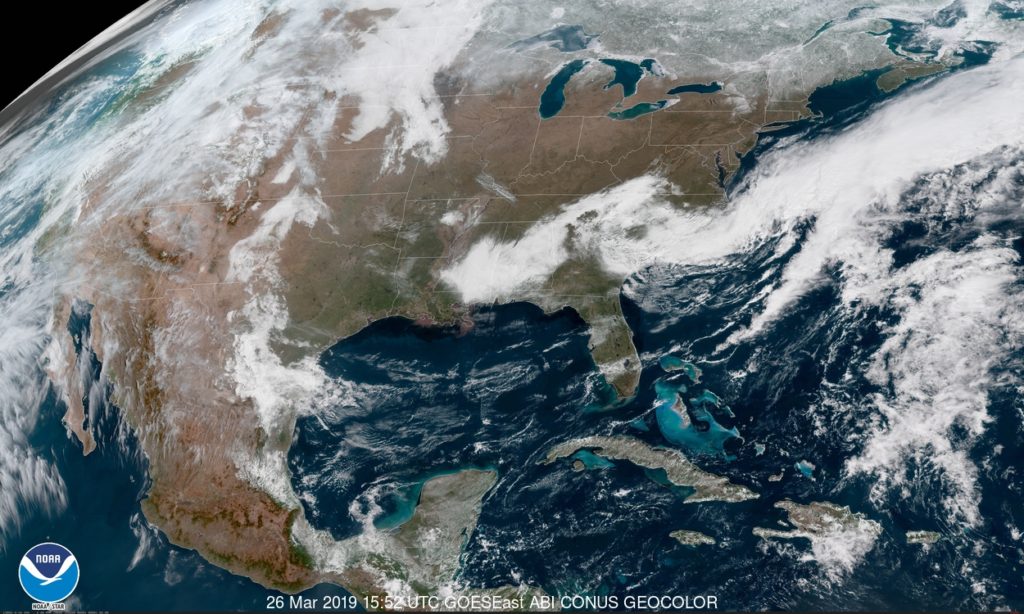
At 856pm CDT, the temperature at Laredo, TX was 77 degrees under fair skies. Tail end of a stationary front is lingering over the TX Gulf Coast, but is expected to retreat northward during the day tomorrow. An area of low pressure is expected to intensify over West TX from morning throughout the day as it shifts eastward. By midday, the low will be centered near Dallas while the accompanying cold front will have swept eastward through the state into LA, kicking off strong to severe weather over LA into AR. As far as the Laredo area is concerned, precip should stay off to the north as clouds are expected in the morning, but clears out by midday as strong winds from the west. Clear skies then expected throughout the rest of the weekend but with temperatures coming down a bit on Sunday in the wake of tomorrow’s system.
Saturday: Cloudy early, then clearing. High 86, Low 67.Sunday: Clear, slightly cooler. High 81, Low 55.
TWC: Saturday: Partly cloudy, windy. High 88, Low 69.Sunday: Sunny. High 81, Low 52.
AW: Saturday: Windy in the afternoon. High 91, Low 68.Sunday: Mostly sunny: not as warm. High 80, Low 54.
NWS: Saturday: Sunny and breezy. High 90, Low 68.Sunday: Sunny. High 78, Low 55.
WB: Saturday: Windy. High 91, Low 70.Sunday: Sunny. High 80, Low 52.
WN: Saturday: Mostly sunny. High 90, Low 68.Sunday: Sunny. High 79, Low 56.
FIO: Saturday: Partly cloudy in morning and breezy in afternoon. High 89, Low 69.Sunday: Clear throughout the day. high 81, Low 53.
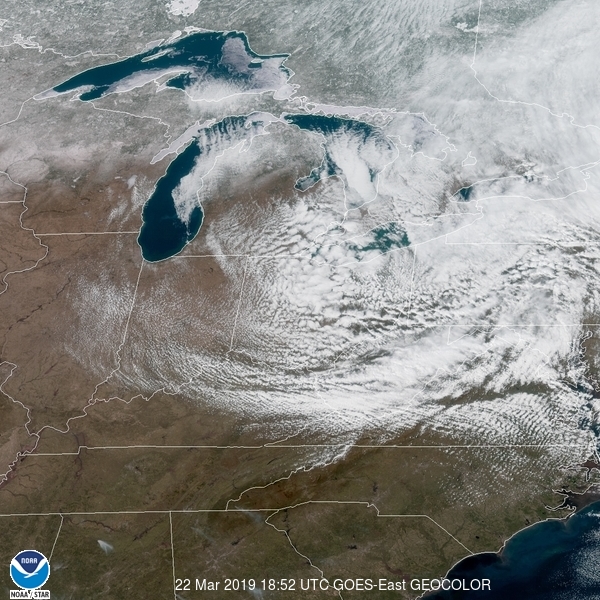
We see the storm system getting revved up over Western TX, while eastern TX is already seeing some low clouds cover the region