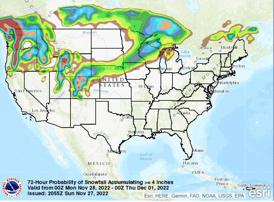
A massive feature moving through the center of the country, the second this month, is bringing blizzard conditions to the Northern Plains, but it will be remembered for quite some time for the path of destruction it is weaving across the southern US.
The storms started yesterday, with tornadoes striking the Dallas-Fort Worth metro, including causing 5 injuries at a Sam’s Club and mall in Grapevine.
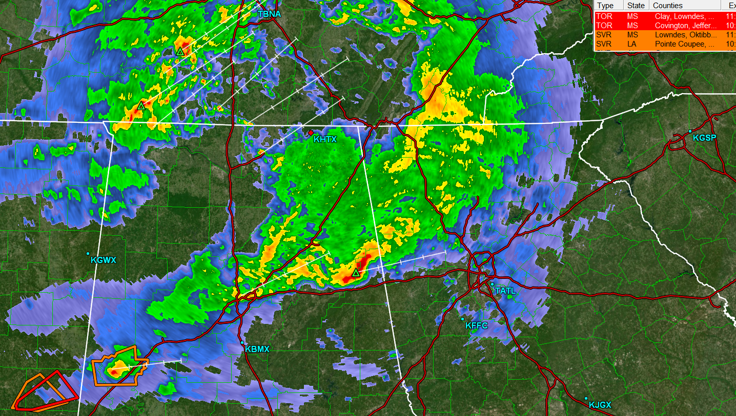
There were even more tragic consequences south of Shreveport, where tornadoes claimed the lives of two near Keachi as the tornado swept through some mobile homes. There was another prominent cluster of tornado reports between Monroe, Louisiana and Vicksburg, Mississippi. Fortunately, only one injury was reported there.
The storm carried on today, and started early. Storms fired early, and slightly to the southeast of Tuesday’s storm activity. Storms were seen in Mississippi through much of the day, before tornadoes struck throughout the city of New Orleans. Fortunately, none appear to have been major tornadoes, but they struck impoverished, poorly soiled and urban areas, so damage has been great.
Reports specifically have come out of Gretna and the Algiers and Arabi neighborhoods of New Orleans. Arabi was clipped by a tornado earlier this year, doubling down on bad luck for New Orleans. A tornado watch and the threat thereof continue this evening in the Florida Panhandle and south Georgia. Tornadoes were also noted northeast of Apalachicola today.
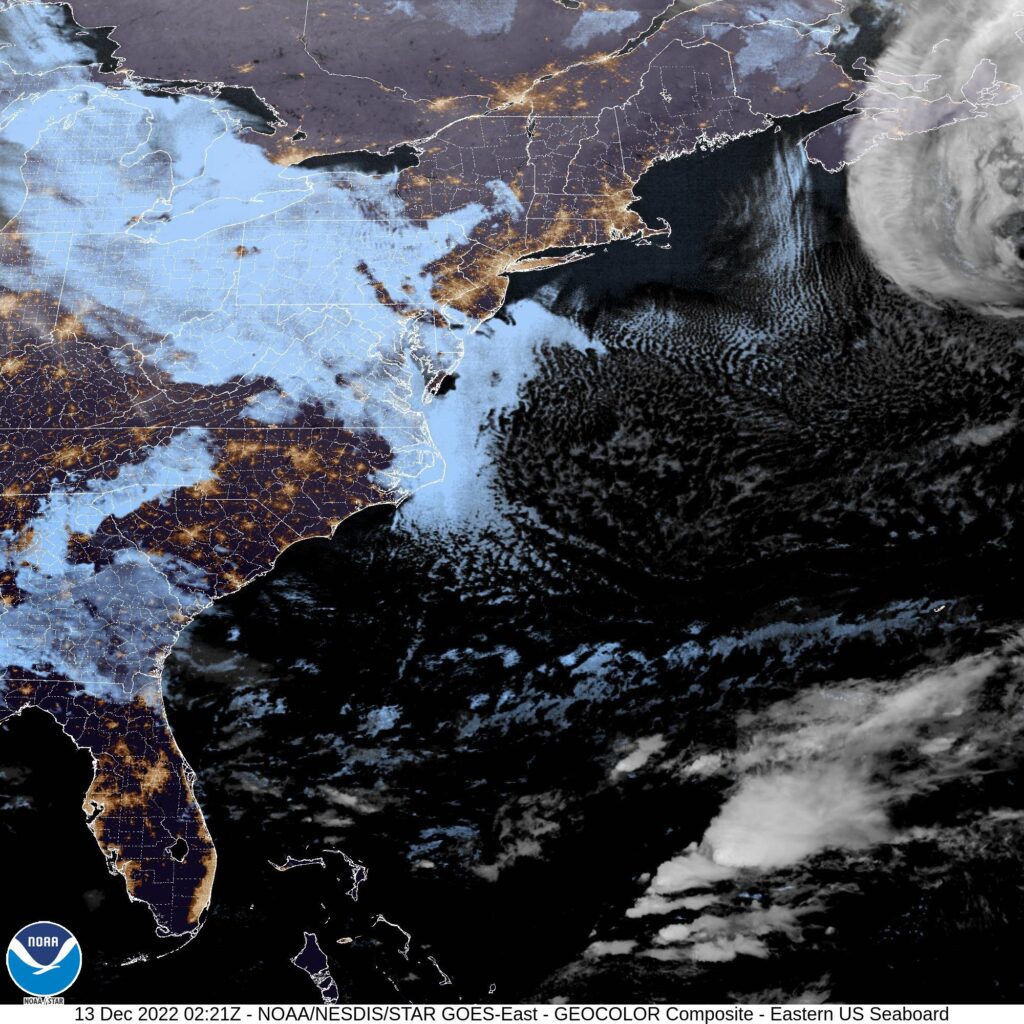
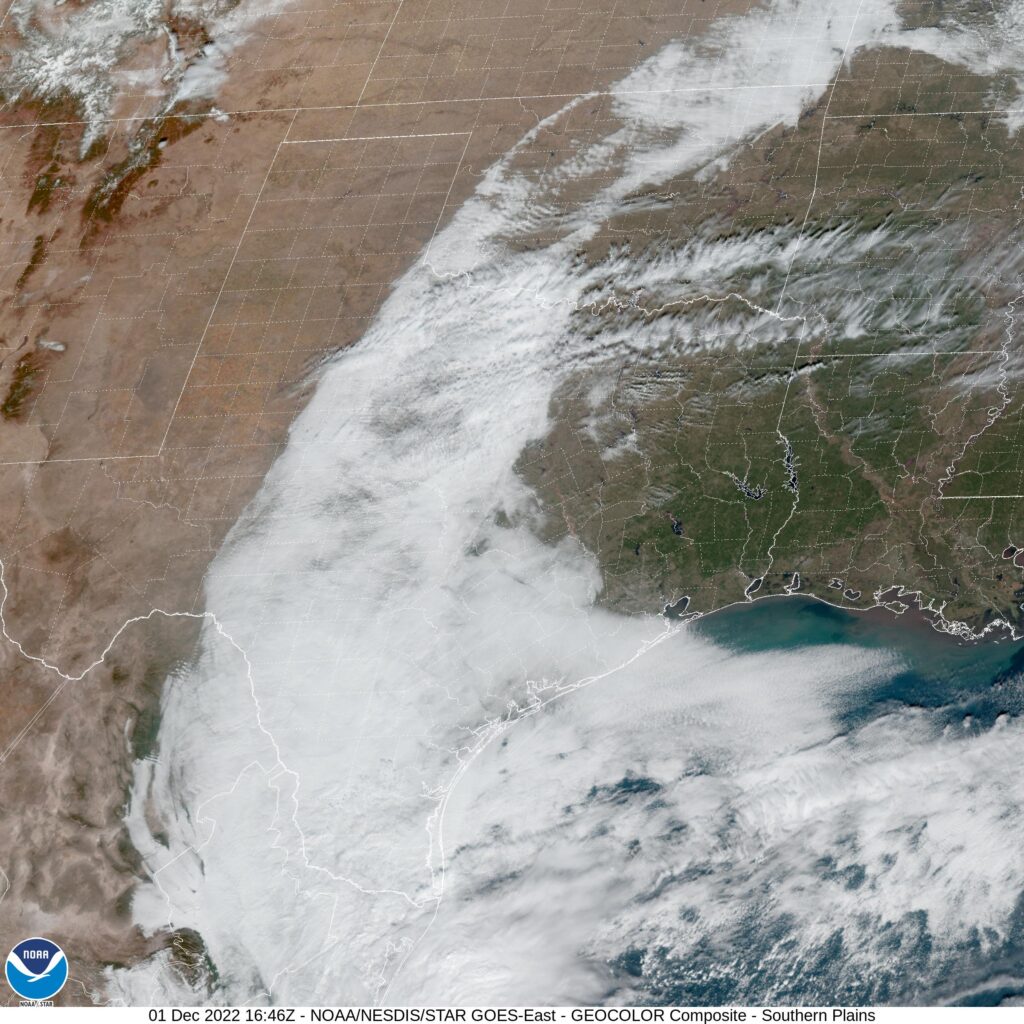
An impressive jet trough digging into the middle of the country is urging the helicity necessary to produce these tornadoes, and sustain them over the course of several days. In addition, the depth of this trough is allowing the cold air necessary to clash with the marine air as far south as New Orleans. The base of the trough is going to continue to shift to the east, taking with it the threat of continued severe weather, aside from some early straight line winds in north Florida tomorrow.