Hey, look, it’s a forecast! After a lengthy time away from the site forecasts, let’s see if we still remember how to do this.
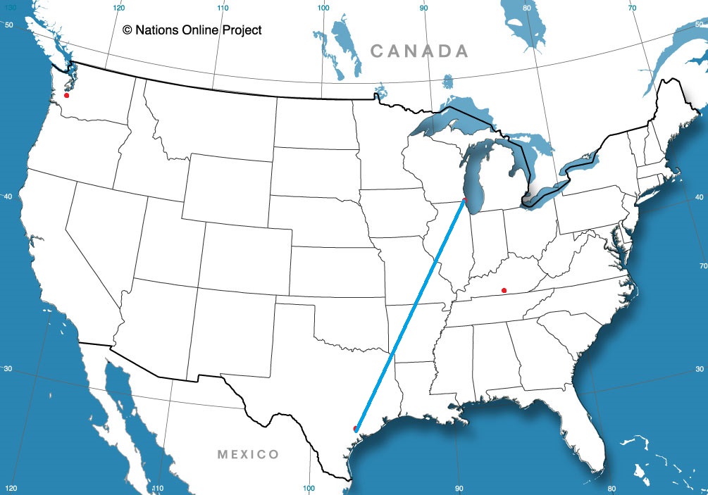
At 1154AM, CT, Evansville was reporting clear skies with a temperature of 72 degrees. The region was in some clear, dry air in the wake of a rainy cold front that moved through yesterday afternoon. Low pressure continued to spiral over Michigan, and it will be pressed northward as Tropical Storm Philippe heads towards New England. The thermal trough will swing south today and overnight, with tomorrow morning landing as the chilliest morning of the season, with Sunday being even chillier.
Philippe will merge with the Great Lakes low and start to occlude and retrograde. The persistent northwest winds will keep temperatures down, and the moisture continuing to wrap between the two features and slowly into Indiana. This will lead to some overcast throughout the weekend, and temperatures closer to autumnal.
Tomorrow – Mostly sunny, High 63, Low 44
Sunday – Mostly cloudy, High 64, Low 42
TWC: Tomorrow – Sunny. High 63, Low 45
Sunday – Sunshine and clouds mixed. High 66, Low 41
AW: Tomorrow – Partly sunny and cooler High 63, Low 45
Sunday – Plenty of sunshine High 67, Low 40
NWS: Tomorrow – Sunny, High 62, Low 44
Sunday – Mostly sunny, High 65, Low 40
WB: Tomorrow – Sunny, High 60, Low 45
Sunday – Mostly sunny, High 64, Low 44
WN: Tomorrow – Mostly sunny, High 62, Low 44
Sunday – Mostly sunny, High 66, Low 40
CLI: Tomorrow – Sunny, High 63, Low 45
Sunday – Partly cloudy, High 66, Low 43
This is what I believe many in the US would call football weather. There is a nice swath of sunny skies over southern Indiana today.