A tough thing about summer when scattered showers or storms are in the forecast, is that if you have them in and they don’t happen, your temperature forecast is likely to be pretty far off as well. This was the case in Sandusky at the end of June, when everyone had showers and storms in the forecast for both Thursday and Friday. Didn’t happen save for a splash on Thursday the 26th, and temperatures soared into the 90s, leaving everyone with frightful numbers. Clime was the warmest outlet, and ended up securing the easy victory. Way to hedge your bets, Clime! Actuals: June 26th, .01 inches of rain, High 91, Low 75 June 27th, High 93, Low 73
We’ve made it through the Holiday weekend, and are ready for wherever the road may take us. In this case, it is taking us to Arkansas. The drive will last 12 hours, the longest we are allowed to travel in one day during these trips, and we will cover 863 miles. On average, that is a pace of almost 72mph. Hard to stick your nose up at that.
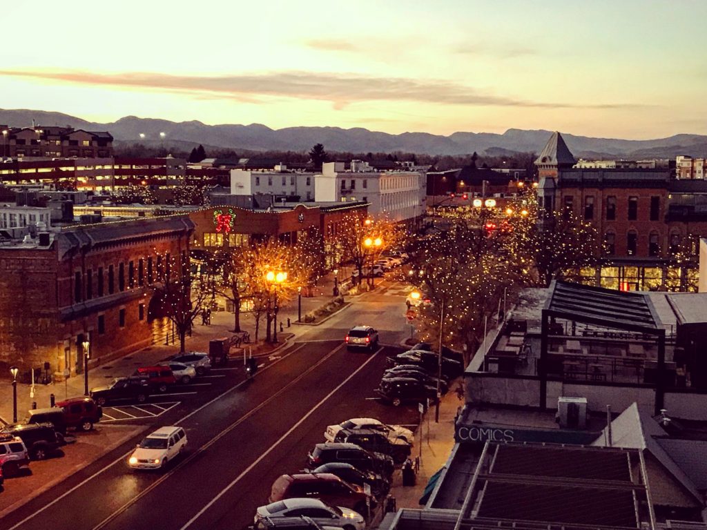
Fort Collins, Colorado
This afternoon, a weak trough sweeping through the Front Range will touch off an area of thunderstorms in the Canadian Prairies, moving towards western Kansas. This will ensure that the atmosphere settles out a bit as we start out on Tuesday. We’re going to see sunny skies in Colorado and western Kansas, but will eventually reach the back end of the instability around Wichita. The bulk of any moisture or storm activity will be seen in Missouri, and we are going to be swinging south through Oklahoma. There will be some lare storms in northern Oklahoma, but by the time it really fires up, I suspect we will already be waiting in Fort Smith when it gets more showery in Oklahoma and across the border in Arkansas.
It’s a hot on this holiday weekend, with a few scattered showers and storms across the middle of the country. It’s hard to produce a forecast for anywhere right now without giving a thought to the devastating floods in Kerrville, Texas over the weekend. My heart aches for all the families that have lost in Texas. It’s another reminder that, while the strength of a storm is always a factor, often just as impactful is the time and the place the storm occurs. Donate here.
At 753PM, Fort Smith was reporting a temperature of 91 degrees with clear skies. A trough moving through the middle of the country is triggering a band of thunderstorms through southern Missouri, but the southward progression of the system was not expected to bring that activity as far south as Fort Smith this evening. Tomorrow afternoon, the heat and humidity of the region will provide enough instability for some showers and storms in the afternoon. A ripple in the lower levels of the atmosphere along the US-Canadian border will touch off a new band of showers and thunderstorms in the plains. This more organized band of storms will be a threat for Fort Smith on Tuesday evening, but not before another hot humid day transpires. Tomorrow – Mostly cloudy, with showers and storms in the evening High 92, Low 72 Tuesday – Scattered clouds with some increasing showers and storm, High 90, Low 73
TWC: Tomorrow – Except for a few afternoon clouds, mainly sunny. A stray shower or thunderstorm is possible. High 92, Low 73 Tuesday – Mostly cloudy with scattered thunderstorms mainly in the morning High 87, Low 73
AW: Tomorrow – Humid with variable cloudiness; a thunderstorm in spots in the afternoon High 91, Low 75 Tuesday – Mostly cloudy and humid with a thunderstorm in parts of the area High 90, Low 74
NWS: Tomorrow – A slight chance of showers, then a chance of showers and thunderstorms after 10am. Mostly sunny, High 93, Low 75 Tuesday – Showers and thunderstorms likely, mainly after 1pm. Mostly sunny High 90, Low 74
WB: Tomorrow – Mostly sunny. A slight chance of showers and thunderstorms in the morning then a chance of showers and thunderstorms in the afternoon High 92, Low 76 Tuesday – Mostly sunny. A chance of showers and thunderstorms in the morning then showers and thunderstorms likely in the afternoon. High 88, Low 75
WN: Tomorrow – Partly cloudy with isolated showers and isolated storms, High 93, Low 75 Tuesday – Partly cloudy with light showers and scattered storms, High 90, Low 74
CLI: Tomorrow – Thunderstorm, High 95, Low 75 Tuesday – Thunderstorm, High 91, Low 75
It’s strange having this much thunder activity but so little in motion aloft. Indeed, we are in the summer season!
Our forecast for Lincoln netted a very good forecast. Given that this happened even with rain on both the 24th and 25th, I can safely say that a forecast that worked out this well would only happen in the summer. An oscillating boundary lingered near Lincoln, with another round of low pressure sneaking to the north, bringing the showers. This is typically a recipe for a botched forecast, this many moving parts, but it’s summertime! Accuweather won the day with only one degree of error, and across the board, there weren’t many problems. Actuals: June 24th, .31″ of rain, High 82, Low 71 June 25th, .49″ of rain in thunderstorms, High 93, Low 72
9:03PM Now a few days out, there are 5 confirmed tornadoes from Carver County over the weekend, along with three in southwestern Minnesota, where they were certainly more photogenic.
As noted on Facebook over the weekend, there was a tornado in the namesake town for this site, Victoria, Minnesota. It occurred in the middle of the night Saturday into Sunday morning, which is an incredibly dangerous time to endure severe weather, and the storm did track through a couple of neighborhoods. Fortunately, the damage to structures was minimal, and there were no injuries reported because of the storm.
Contrary to my initial thoughts, seen in the Facebook post, the NWS surveyed two twisters, following a similar path to what was charted above. You can see their official survey, which involved investigators on the ground and drones, on top of the real time evaluation and storm reports that I used.
While the storm did cause tree damage, and some light damage to homes, including where trees fell on them or siding was ripped off, the twisters also spend quite a bit of time in open fields, Carver Park Nature Reserve and especially over Lakes. While the shoreline areas obviously sustained some damage, the fact that the cells passed over, by my count 6 different lakes really limited the human toll storms in a metro area could have taken.
9:42AML It’s been a wild start to spring, and it is going to be wet soon again, but today and tomorrow are mostly going to be recovery days. Flashflood warnings in Ohio will air out. Maybe a few severe storms in the mid-Atlantic, but nothing widespread, and even less tomorrow. Then we’ll start ramping up again. Sorry.
10:42PM – One thing we don’t see enough of that we get to enjoy tonight? Rain on the west coast, even as June turns to July. A band of showers is rolling through southern Oregon, giving the area a healthy drink.
There are a surprising number of large cities in Ohio, and I’m not sure that most people are aware of all of them. Sandusky is the third largest, just on the shore of Lake Erie, however if you are familiar with Cedar Point Amusement Park, you probably have heard of Sandusky.
At 455PM, ET, Sandusky was reporting a temperature of 86 degrees with overcast conditions. There was a smattering of thunderstorms across Ohio, Michigan and Lake Erie, including a few that were producing severe hail. The nearest was a storm about 20 miles south of Sandusky, drifting to the southeast. This was all a part of a slow moving warm front across the Great Lakes, which was keeping the area from the historic heatwave in the Eastern US, but also allowing for the severe storms. The pattern in the northern Plains, at least over the lower levels, will continue to be unsettled, but the jet structure is going to lift north and away from there. The instability in the Plains will work with the heat and humidity under the jet ridge in the east, lifting north and continuing to bring thunderstorms to the Sandusky area. A surface trough will drift through the area late on Friday, bringing the best chance of thunderstorms. Tomorrow – Mostly cloudy with scattered storms, High 85, Low 73 Friday – Partly cloudy, a few afternoon and evening storms, High 88, Low 75
TWC: Tomorrow – Sun and clouds mixed with a slight chance of thunderstorms during the afternoon. Hgh 86, Low 71 Friday – Intervals of clouds and sunshine. A stray afternoon thunderstorm is possible. High 91, Low 75
AW: Tomorrow – Warm and very humid with a thunderstorm in the area; cloudy in the morning, then times of sun and clouds in the afternoon High 86, Low 71 Friday – Very warm and humid with variable cloudiness; a thunderstorm in a couple of spots in the afternoon High 89, Low 73
NWS: Tomorrow – A slight chance of showers, then a chance of showers and thunderstorms after 11am. Mostly sunny, High 86, Low 72 Friday – A chance of showers and thunderstorms, mainly after 2pm. Mostly sunny, High 89, Low 74
WB: Tomorrow – Partly cloudy with a chance of thunderstorms. A chance of showers. High 85, Low 75 Friday – Partly cloudy with a chance of showers. A chance of thunderstorms in the afternoon. High 87, Low 76
WN: Tomorrow – Partly cloudy with showers and a chance of storms, High 86, Low 72 Friday – Partly cloudy with scattered showers and a chance of storms, High 89, Low 74
CLI: Tomorrow – Thunderstorm, High 90, Low 73 Friday – Light rain showers, High 93, Low 75
Clime is going on the warm side, even tomorrow. Here is a look at the radar, with that storm to the south of Sandusky.