We have already reached the 5th named storm of the tropical season, but Elsa, the former hurricane presently drifting through the southeastern United States is the first hurricane of the season, as well as the strongest storm to make landfall this year.
Elsa’s strongest appearance on land, at least in terms of wind, was last night in Key West, when the airport reported a winds approaching 50mph. The primary threat from Elsa, as with most tropical storms, was, and continues to be, heavy rain.
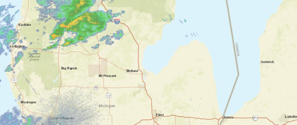
Flash flood advisories were out for northern Florida and south Georgia, and have now shifted to South Carolina. There were also a few isolated tornado reports, and as Elsa spins northeast, there is a tornado watch for South Carolina and surrounding areas.
Elsa has been a mild storm, so read this as a precautionary tale. It still brought flooding, strong winds and tornadoes inland. Had she taken a different course, there may he been noteworthy storm surge as well, but her path, along the course and inland in a low density part of Florida, was beneficial for local residents. All tropical storms are dangerous, including Elsa, who isn’t quite done yet. Check out the forecast for the next few days.
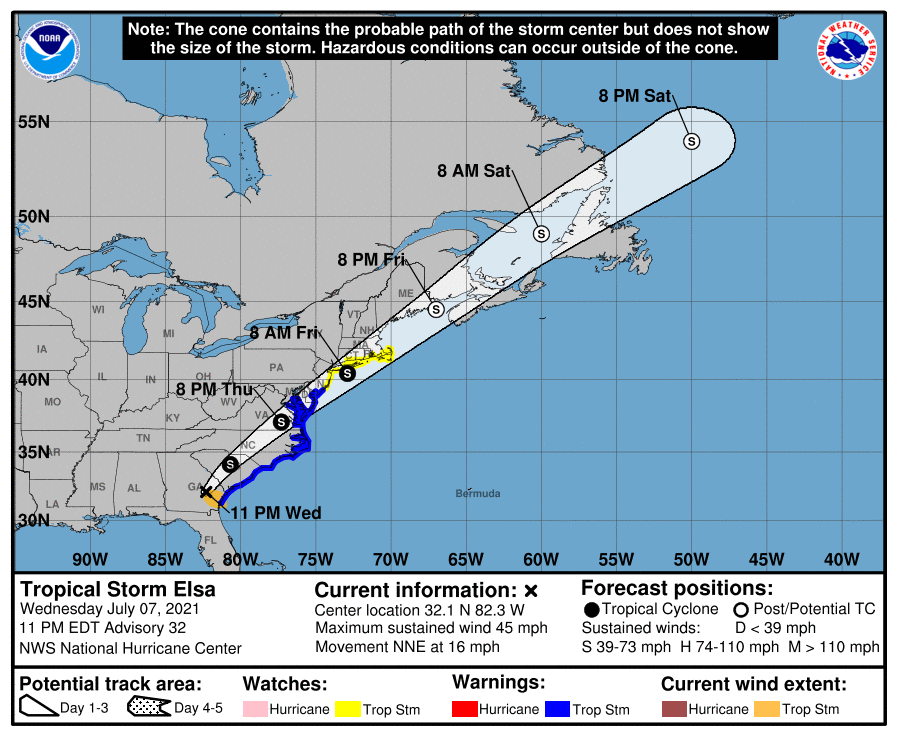
There is still significant weather coming for the East Coast from Elsa. There are no other areas of concern in the Atlantic, but that will change, and we will then need to continue our maritime vigilance.