Burlington started its life called “Company Shops” because the railroads started the town as a spot to service trains in North Carolina. As railroads merged and the trains that used Company Shops put their work elsewhere, residents decided to rename the town. They picked the name “Burlington”…. naming the town after a passing train.
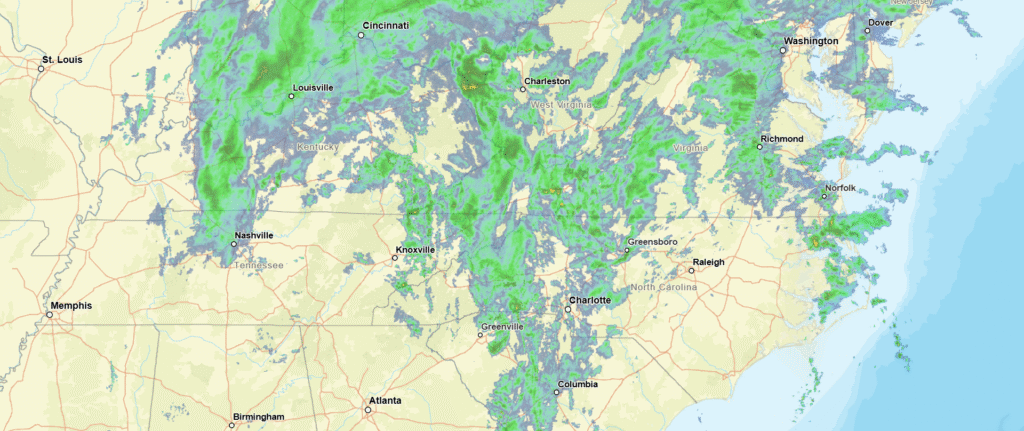
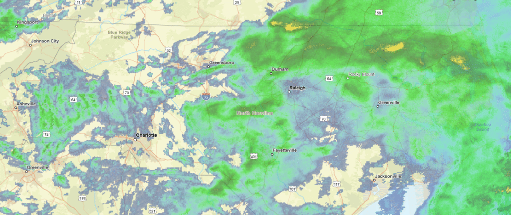
At 1059PM, ET, Burlington was reporting rain and low overcast. The temperature was 52 degrees. In the wake of a coastal feature that brought the region rain yesterday, another rain maker is moving out of the Tennessee Valley tonight. In this case, the area of low pressure is starting to move to the north, and an occluded cold front will be responsible for the rain overnight tonight.
Because of the occlusion, the post-frontal cooldown will not be dramatic. The rain will end through the late morning, with drier air and a bit of sunshine then filtering back into the picture. High pressure will build in, giving the region a much needed break from the rain.
Tomorrow – Rain early, then clearing, High 62, Low 48
Friday – Sunny, High 58, low 43
TWC: Tomorrow – Cloudy early, becoming mostly sunny in the afternoon (AM Rain) High 62, Low 49
Friday – Sunny skies. High 62, Low 43
AW: Tomorrow – Breezy in the morning; otherwise, clouds breaking for some sun (AM Rain) High 62, Low 49
Friday – Breezy in the morning; otherwise, plenty of sun; cool for trick-or-treating High 60, Low 41
NWS: Tomorrow – Cloudy, then gradually becoming mostly sunny, (AM rain) High 62, Low 49
Friday – Sunny, High 62, Low 42
WB: Tomorrow – Mostly cloudy. Showers likely in the morning. High 62, Low 49
Friday – Sunny. High 59, Low 45
WN: Tomorrow – Partly cloudy (early rain) High 62, Low 49
Friday – Sunny, High 62, Low 42
CLI: Tomorrow – Partly cloudy, High 62, low 48
Friday – Sunny, High 61, Low 42
Well, if the high tomorrow isn’t 62 degrees, I think I’m going to have to talk to someone. Pretty rainy tonight, but I did forget that Friday is Halloween, and that looks like a good night for Trick or Treating.