The thing about summer thunderstorms is that they are often slowly paced and if there is any sort of larger scale forcing, the storms can really dump the rain. That happened in Fort Smith, which was ultimately brought the misfortune of constant clouds and steady thunderstorms through the day on July 8th. Not only did this soak the city, but the highs in the 90s were nowhere to be found. Highs in the 80s were nowhere to be found, for that matter. The steady threat of storms allowed highs only to reach 78 on that Tuesday. It was a much cooler day than expected, and particularly cooler than most of Arkansas, but they did get an inch and a half for rain. It a a tough forecast overall, but NWS came through the best, having the coolest numbers for the 8th. Actuals: July 7th, .18″ of rain High 95, Low 75 July 8th: 1.67″ of rain, High 78, Low 72
We aren’t yet to the peak of monsoon season in the southwest, but it is certainly summer. I expect some good numbers for our forecast outlets, and a toasty temperature read out.
At 1051AM, ET, Phoenix was already reporting a temperature of 98 degrees with clear skies. It would be a hot day again today. While the monsoon season hasn’t gotten fully cranked up, there are afternoon showers and storms erupting along the New Mexico border, with a threat for afternoon activity generally north of Tucson. The synoptic pattern is non existent, which means a persistence forecast is in order. Even if a stray storm wanders into Phoenix, the activity will erupt after peak heating has been achieved, so there won’t be much modification from being the model guidance. Tomorrow – Mostly sunny, High 111, Low 88 Tuesday – Hot, sunny, High 110, Low 85
TWC: Tomorrow – Mainly sunny. High 109, Low 88 Tuesday – Mostly sunny skies. High 107, Low 88
AW: Tomorrow – Hot with hazy sun; wildfire smoke will cause the sky to be hazy High 112, Low 89 Tuesday – Mostly sunny and very warm; wildfire smoke will cause the sky to be hazy High 109, Low 89
NWS: Tomorrow – Sunny, High 109, Low 88 Tuesday – Sunny, High 108, Low 87
WB: Tomorrow – Sunny and hot High 109, Low 87 Tuesday – Mostly sunny. High 109, Low 92
WN: Tomorrow – Mostly sunny, High 109, Low 88 Tuesday – Partly cloudy with isolated storms, High 108, Low 87
CLI: Tomorrow – Sunny, High 109, Low 88 Tuesday – Sunny, High 108, Low 88
I told you that it is monsoon season, but there isn’t anything to show for it on satellite.
It’s a rapidly changing culture out there, and it i leading to a lot of weather related headlines. One thing that we hear about quite a bit is the emergence of AI boosted models and model guidance. In that spirit, I guess there is no surprise that Clime was the forecast winner this month. Of course, they are 5th best of all forecasters for the year, but maybe the tide is turning.
A tough thing about summer when scattered showers or storms are in the forecast, is that if you have them in and they don’t happen, your temperature forecast is likely to be pretty far off as well. This was the case in Sandusky at the end of June, when everyone had showers and storms in the forecast for both Thursday and Friday. Didn’t happen save for a splash on Thursday the 26th, and temperatures soared into the 90s, leaving everyone with frightful numbers. Clime was the warmest outlet, and ended up securing the easy victory. Way to hedge your bets, Clime! Actuals: June 26th, .01 inches of rain, High 91, Low 75 June 27th, High 93, Low 73
We’ve made it through the Holiday weekend, and are ready for wherever the road may take us. In this case, it is taking us to Arkansas. The drive will last 12 hours, the longest we are allowed to travel in one day during these trips, and we will cover 863 miles. On average, that is a pace of almost 72mph. Hard to stick your nose up at that.
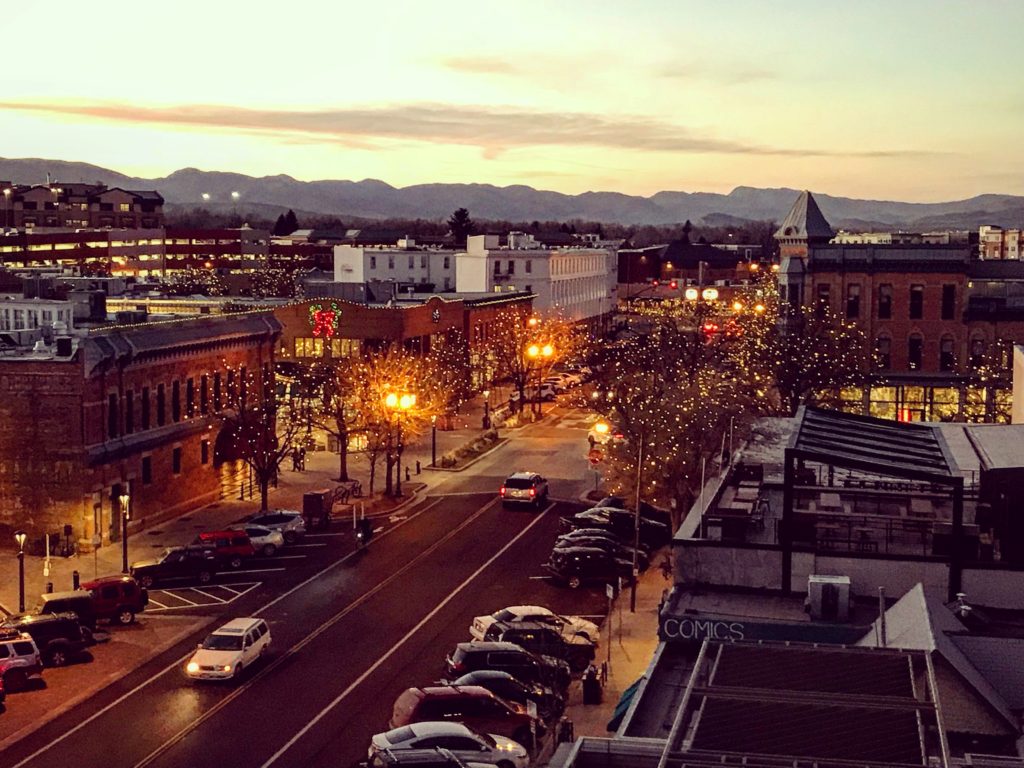
Fort Collins, Colorado
This afternoon, a weak trough sweeping through the Front Range will touch off an area of thunderstorms in the Canadian Prairies, moving towards western Kansas. This will ensure that the atmosphere settles out a bit as we start out on Tuesday. We’re going to see sunny skies in Colorado and western Kansas, but will eventually reach the back end of the instability around Wichita. The bulk of any moisture or storm activity will be seen in Missouri, and we are going to be swinging south through Oklahoma. There will be some lare storms in northern Oklahoma, but by the time it really fires up, I suspect we will already be waiting in Fort Smith when it gets more showery in Oklahoma and across the border in Arkansas.
It’s a hot on this holiday weekend, with a few scattered showers and storms across the middle of the country. It’s hard to produce a forecast for anywhere right now without giving a thought to the devastating floods in Kerrville, Texas over the weekend. My heart aches for all the families that have lost in Texas. It’s another reminder that, while the strength of a storm is always a factor, often just as impactful is the time and the place the storm occurs. Donate here.
At 753PM, Fort Smith was reporting a temperature of 91 degrees with clear skies. A trough moving through the middle of the country is triggering a band of thunderstorms through southern Missouri, but the southward progression of the system was not expected to bring that activity as far south as Fort Smith this evening. Tomorrow afternoon, the heat and humidity of the region will provide enough instability for some showers and storms in the afternoon. A ripple in the lower levels of the atmosphere along the US-Canadian border will touch off a new band of showers and thunderstorms in the plains. This more organized band of storms will be a threat for Fort Smith on Tuesday evening, but not before another hot humid day transpires. Tomorrow – Mostly cloudy, with showers and storms in the evening High 92, Low 72 Tuesday – Scattered clouds with some increasing showers and storm, High 90, Low 73
TWC: Tomorrow – Except for a few afternoon clouds, mainly sunny. A stray shower or thunderstorm is possible. High 92, Low 73 Tuesday – Mostly cloudy with scattered thunderstorms mainly in the morning High 87, Low 73
AW: Tomorrow – Humid with variable cloudiness; a thunderstorm in spots in the afternoon High 91, Low 75 Tuesday – Mostly cloudy and humid with a thunderstorm in parts of the area High 90, Low 74
NWS: Tomorrow – A slight chance of showers, then a chance of showers and thunderstorms after 10am. Mostly sunny, High 93, Low 75 Tuesday – Showers and thunderstorms likely, mainly after 1pm. Mostly sunny High 90, Low 74
WB: Tomorrow – Mostly sunny. A slight chance of showers and thunderstorms in the morning then a chance of showers and thunderstorms in the afternoon High 92, Low 76 Tuesday – Mostly sunny. A chance of showers and thunderstorms in the morning then showers and thunderstorms likely in the afternoon. High 88, Low 75
WN: Tomorrow – Partly cloudy with isolated showers and isolated storms, High 93, Low 75 Tuesday – Partly cloudy with light showers and scattered storms, High 90, Low 74
CLI: Tomorrow – Thunderstorm, High 95, Low 75 Tuesday – Thunderstorm, High 91, Low 75
It’s strange having this much thunder activity but so little in motion aloft. Indeed, we are in the summer season!
Our forecast for Lincoln netted a very good forecast. Given that this happened even with rain on both the 24th and 25th, I can safely say that a forecast that worked out this well would only happen in the summer. An oscillating boundary lingered near Lincoln, with another round of low pressure sneaking to the north, bringing the showers. This is typically a recipe for a botched forecast, this many moving parts, but it’s summertime! Accuweather won the day with only one degree of error, and across the board, there weren’t many problems. Actuals: June 24th, .31″ of rain, High 82, Low 71 June 25th, .49″ of rain in thunderstorms, High 93, Low 72
9:03PM Now a few days out, there are 5 confirmed tornadoes from Carver County over the weekend, along with three in southwestern Minnesota, where they were certainly more photogenic.
As noted on Facebook over the weekend, there was a tornado in the namesake town for this site, Victoria, Minnesota. It occurred in the middle of the night Saturday into Sunday morning, which is an incredibly dangerous time to endure severe weather, and the storm did track through a couple of neighborhoods. Fortunately, the damage to structures was minimal, and there were no injuries reported because of the storm.
Contrary to my initial thoughts, seen in the Facebook post, the NWS surveyed two twisters, following a similar path to what was charted above. You can see their official survey, which involved investigators on the ground and drones, on top of the real time evaluation and storm reports that I used.
While the storm did cause tree damage, and some light damage to homes, including where trees fell on them or siding was ripped off, the twisters also spend quite a bit of time in open fields, Carver Park Nature Reserve and especially over Lakes. While the shoreline areas obviously sustained some damage, the fact that the cells passed over, by my count 6 different lakes really limited the human toll storms in a metro area could have taken.
9:42AML It’s been a wild start to spring, and it is going to be wet soon again, but today and tomorrow are mostly going to be recovery days. Flashflood warnings in Ohio will air out. Maybe a few severe storms in the mid-Atlantic, but nothing widespread, and even less tomorrow. Then we’ll start ramping up again. Sorry.


