Birmingham was getting ready for a line of thunderstorms as we put our forecast together last Wednesday. After the line went through, temperatures were cooler and it was dry to end February. Things took a turn on Friday, when the next round of wet weather moved into town. This round brought about .8″ of rain, a not insignificant amount, and certainly a bad sign for the weekend. If one believes in omens, this must also mean that the month of March will be out like a lamb in Birmingham, so that’s a good sign, right? Victoria-Weather easily won the forecast. Actuals: Thursday: High 50, Low 37 Friday: .81″ of rain, High 51, Low 45
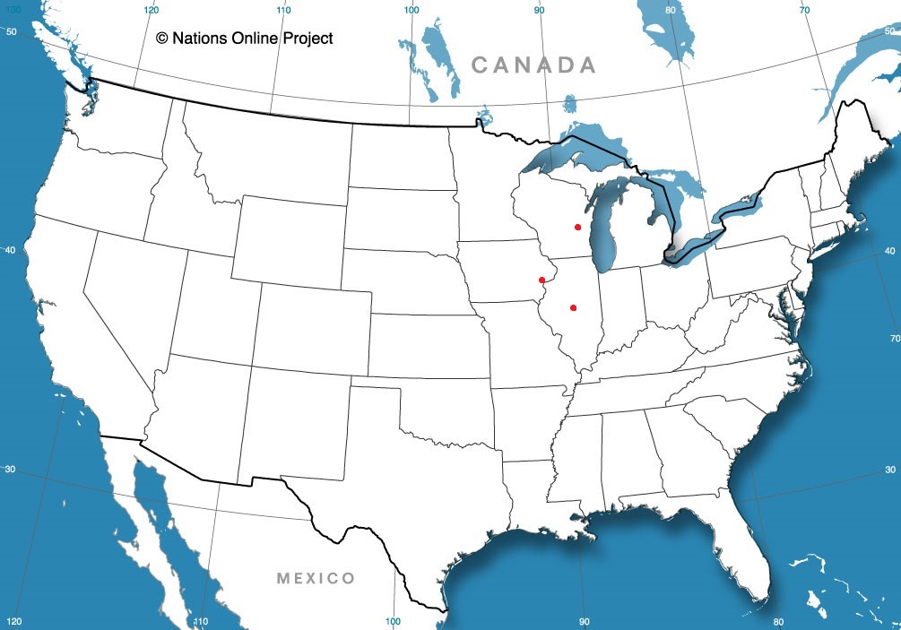
Happy Sunday, thank you for joining us for our second Alabama forecast in a week. I think this might be less interesting than Birmingham a few days ago.
At 953PM, CT, Huntsville was reporting a temperature of 60 degrees with mostly cloudy skies. Dew points mirrored the temperature, and a bit of overcast and fog was settling in over the southern part of the state, likely to encroach on Huntsville overnight as well. Parallel troughs are leading to deeply occluded surface low pressure, the first headed towards Hudson Bay, and a developing low along the lingering boundary over the central Plains. This feature is leading to the return flow and ambient moisture throughout Alabama. Monday will be a fairly humid da for early March. There will be a threat for a rogue sprinkle, but the real threat for rain is coming early on Tuesday. A vorticity maximum analyzed by most models is seen emerging around New Orleans and headed east through southern Alabama on Tuesday. This should limit the capacity for thunderstorms or particularly heavy rain in Huntsville, though the day is still liable to be fairly dreary. Tomorrow – Fog early, then mostly cloudy with some isolated showers, High 75, Low 58 Tuesday – Scattered showers and overcast, High 66, Low 58
TWC: Tomorrow – Areas of patchy fog early. Mostly cloudy skies. High 75, Low 59 Tuesday – Showers and thundershowers in the morning, then cloudy with rain likely in the afternoon. High 66, Low 60
AW: Tomorrow – Mostly cloudy and very warm with a shower in places High 75, Low 57 Tuesday – Cloudy and not as warm with a couple of showers and a thunderstorm High 67, Low 58
NWS: Tomorrow – A 30 percent chance of showers and thunderstorms after 1pm. Partly sunny, High 74, Low 59 Tuesday – A chance of showers, then showers and possibly a thunderstorm after 7am High 69, Low 59
WB: Tomorrow – Mostly cloudy in the morning, then partly cloudy with a chance of showers and a slight chance of thunderstorms in the afternoon, High 73, Low 59 Tuesday – Showers likely and a slight chance of thunderstorms in the morning then showers and a chance of thunderstorms in the afternoon, High 67, Low 58
WN: Tomorrow – Partly cloudy with scattered showers and isolated storms, High 74, Low 59 Tuesday – Mostly cloudy with showers and chance of storms, High 68, Low 59
CLI: Tomorrow – Partly cloudy, High 73, Low 54 Tuesday – Drizzle, High 66, Low 55
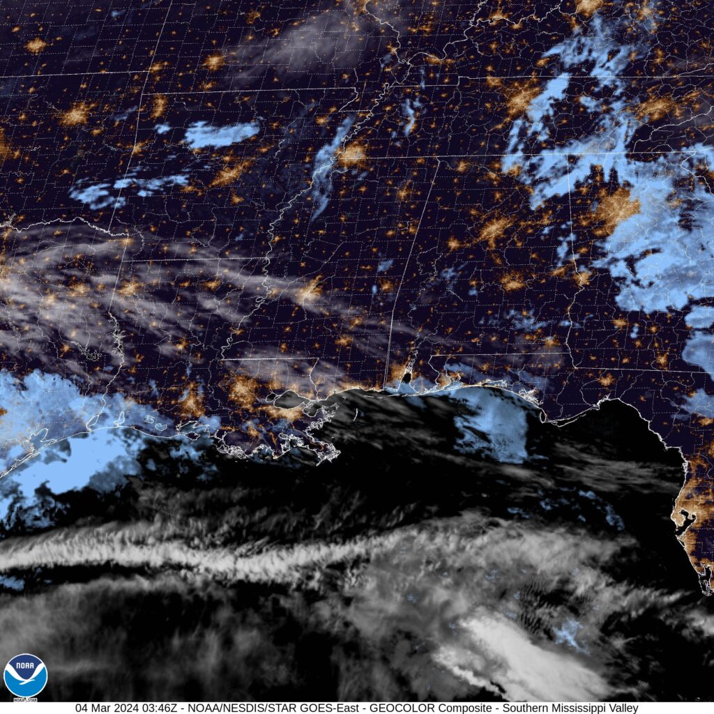
I’m impressed by the outlets leaving rain out tomorrow. They could certainly be right, but I was too chicken to leave it fully out. I worry for Clime’s low temperature forecast. Check out the satellite, with fog really starting to slip into the bayous along the coast.
Our forecast for Merced anticipated yet another round of wet weather coming into the West Coast. Unlike previous iterations of the relentless storms pounding the Pacific Coast this year, the emphasis of this storm was on the Sierra Nevada, where blizzard conditions shut down the region. Still, it was a healthy storm for Merced, where nearly an inch of rain fell in town on Friday. Despite all the headwinds against us as a community of forecast outlets (A large system moving into the west coast, with undulating terrain leading to unique microclimates), the numbers ended up pretty good for everyone, including a three way tie atop the leaderboard, from The Weather Channel, Weather Service and Weatherbug. Actuals: Thursday – .02 inches of rain, High 66, Low 43 Friday – .97 inches of rain, high 59, Low 52
We’re through the warmest meteorological summer in recorded history for a lot of the Great Lakes region and surrounding areas. Among the many challenges of historic weather is finding meteorologists with a willingness to stake their opinion on a forecast that hasn’t ever verified before. For this historic February to cap an historic winter, it was Accuweather that was able to brave the difficult forecasts, and was the forecaster of the month.