The end of the week was a stormy time for a great chunk of the country. And it all started popping off juuuuuuuust to the east of St. Joseph, Missouri, where the early afternoon on Friday brought a little bit of rain and a few gusts to start things off, but that was it. Well, almost. They also got the cold air behind the front. That’s where the real surprise came. St. Joseph reported a trace of snow late on Saturday. That was not on anyone’s bingo board. The National Weather Service had the top forecast for the storm kickoff. Actuals: Friday -.04 inches of rain, High 79, Low 57 Saturday – .04 inches of liquid in snow, High 59, Low 34
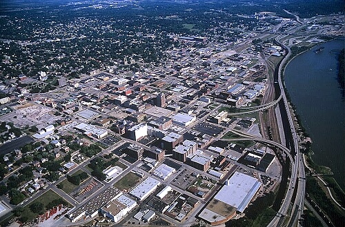
St. Joseph is up river along the Missouri from Kansas City, and are eying some potentially significant weather as the weekend approached. Lets join them in eying the weather.
At 1053PM, CT, St. Joseph was reporting clear skies and a temperature of 60 degrees. The unusual warmth was a precursor to a strong area of low pressure developing in the High Plains, and threatening a busy end to the week. The strong surface feature will occlude fairly quickly. Expect it to be warm in St. Joseph tomorrow, however the leading edge of thunderstorms will develop along I-35 – east of St. Joseph – around mid afternoon tomorrow, but the colder air is expected to lag behind. While strong thunderstorms are a possibility through much of Missouri, it is looking at this time that they will not bother St. Joseph. There is still a slight risk for severe storms, but most of the wet weather will be in the form of scattered showers in the evening. The leading edge of cold air will arrive in St. Joseph overnight, with a clearer and significantly cooler day on Saturday. Tomorrow – Scattered showers and storms late, windy and starting to cool off in the evening, High 73, Low 57 Saturday – Clearing and colder, High 57, Low 38
TWC: Tomorrow – Windy with periods of thunderstorms later in the day. A few storms may be severe. High 78, Low 54 Saturday – Considerable cloudiness. high 54, Low 38
AW: Tomorrow – Winds becoming strong; very warm with times of clouds and sun, a strong afternoon thunderstorm; storms can bring damaging winds, large hail and even a tornado High 76, Low 55 Saturday – Windy and cooler with times of clouds and sun; strong winds can cause localized power outages; secure loose objects High 55, Low 37
NWS: Tomorrow – A chance of showers after 3pm. Mostly sunny, High 78, Low 58 Saturday – Partly sunny, (Showers before 1) High 58, Low 41
WB: Tomorrow – Mostly sunny. A chance of showers in the afternoon. High 78, Low 57 Saturday – Partly sunny and breezy. High 57, Low 43
WN: Tomorrow – Partly cloudy with scattered showers, High 78, Low 58 Saturday – Partly cloudy with showers, High 58, Low 41
CLI: Tomorrow – Thunderstorm High 78, Low 55 Saturday – Overcast High 55, Low 38
St. Joseph will get none of the noise from tomorrow’s storms, but will get the cold air behind it. The calm before storm, literally, is pretty calm.
Could this job be done in one day? Maybe, but it wouldn’t be an entirely safe drive, so we’ll split it into a day and a half, covering 874 miles, at a pace of 67.4mph, meaning we will be done with our Sunday drive about 539 miles from St. Joseph.
DAY ONE (Sunday)
St. Joseph, Missouri
A dry cold front will be sweeping through the central Plains on Sunday morning, which is notable if you intend on driving a high profile vehicle down to Texas, as breezes will likely kick up in northern Kansas. It will still be breezy through Oklahoma, but just normal “Oklahoma breezy” and partly cloudy. Generally, look for pretty decent driving conditions. We’ll cross the Red River and finish the day in Corral City, between Denton and Fort Worth.
DAY TWO (Monday)
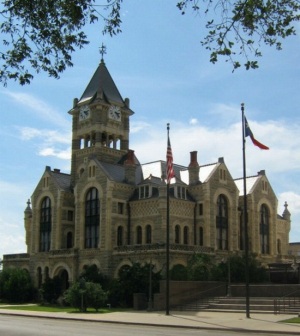
So that just leaves us with a 5 hour jaunt through the Lone Star State to Victoria. Low pressure in the High Plains will start spinning, but we shouldn’t notice it at the surface before we get to Victoria. Instead, we will see clouds become more prominent, and maybe a little bit lower as the day progresses, meaning a grayer end to the trip than we began.
The forecast in St. Joseph last week speculated upon the effect an inverted trough would have in the Missouri Valley. The system would later bring severe weather to the Florida Keys, but it would only bring a case of the blahs to St. Joseph. Victoria-Weather had the best forecast, though the boundary was unable to squeeze out a drop or a flake last Tuesday (there was fog and mist, though), in what was an altogether solid forecast. Actuals: Tuesday – High 32, Low 28 Wednesday – .01 inches of snow, High 34, Low 27
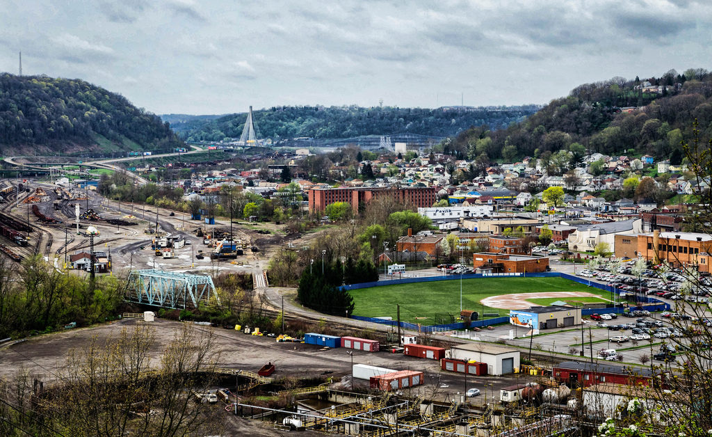
Weirton lies along the banks of the Ohio River, while St. Joseph is on the Missouri. Maybe they aren’t the most famous towns on their respective rivers, but they do offer a chance to get up close to them. It will require a day and a half drive over the course of 832 miles. Our first day will conclude 518.7 miles in, slowed by travelling off-interstate to a pace of 64.8mph.
DAY ONE (Tuesday)
Weirton, West Virginia
High pressure has nosed into the western Great Lakes, and will suppress much rising air, which usually just means that there won’t be any showers or storms in the area. This is true, but for our purposes, it means an inversion across much of the region as well. This suggests there will be A) low clouds and B) morning fog, thanks to the high moisture content in the region, thanks to snow melt and a lack of motivation to clear out. As the day goes on, expect improved visibility and maybe even a bit of sun in the afternoon over Illinois and Indiana. We’ll stop in Buffalo, Illinois, between Springfield and Decatur, for our sole break of the trip.
DAY TWO (Wednesday) A weak feature sliding along the Texas Gulf Coast will extend an inverted trough to the Show Me State, which means a few wet flakes across the region. Given the temperatures, it seems likely that this will lead to some especially icy roads in northern Missouri, even if there isn’t a lot of accumulation. I’m concerned about the threat for some freezing mist in the morning. Drive safely!