We are taking a one day trip, but it is going to be a slog through part of the world that has been the focus of wintry conditions this season. I can’t imagine that this bodes well for the journey. It is presently allotted for about 8 hours and 525 miles, covering 65.8mph. I hope. We just have to try to trust the local DOTs.
Fantastic news for anyone looking to travel in the Southeast: no new precipitation is expected for that particular stretch of land. Unfortunately, it won’t be getting any warmer, either. The chilly conditions, on top of a half foot of snow, in a part of the world that doesn’t get a chance to plow very often suggests that whatever snow fell over the last couple of days is probably still going to be there. The snow had a difficult time clambering over the higher terrain in the Appalachians, There is at least light snow as far to the west as Atlanta, where the eastern suburbs still have an inch or two on the ground. Fortunately, the roads will dry up to conclude the dry. Expect some tentative drivers joining the road with increasingly impatient drivers. The traffic should start to wind down for that last drive. Maybe then we can appreciate all that sunshine.
We visited Raleigh at the end of November, which was in the midst of a soggy stretch that, frankly, is still ongoing. It’s been such a warm autumn, and the past few winters were so mild, it’s kind of bracing to see such a chill to the air as far south as the Carolinas. But we did indeed see some temperatures that were near freezing and didn’t even get out of the 40s for the first day of December. That particular day was colder than anyone had in mind, and certainly colder than anyone in Raleigh appreciated. If you want a cold forecast, Weatherbug is your place to be, and they secured the win on this occasion. Actuals: November 30th, .22″ of rain, High 52, Low 35 December 1st, High 45, Low 35
Holiday travel is at its peak this week, and especially tomorrow. We are taking to North Carolina for our forecast for this busy day.
At 1051PM, ET, Raleigh was reporting cloudy skies with a temperature of 36 degrees. The clouds may save the area from an especially chilly night, and they are patchy, with most reporting areas in the region reporting clear skies. An occluded front in the Plains attaches to a secondary low over eastern Tennessee. Temperatures in Georgia and South Carolina are about 20 degrees warmer than they are in North Carolina, indicating the warm front. This is in active, however the cold and occluded fronts are well defined on radar, from the Upper Ohio Valley to northern Alabama and on to east Texas, where there is some convective activity. The parent low is moving northeastward, and the secondary low doesn’t have a lot of vorticity support to carry on, and the southern cold frontal portion of the boundary will wither, even as a cold surface high pressure center slides from the Great Lakes to the Carolinas. Expect a chilly night Sunday after a few showers in the evening. Aloft, the pattern features a sharp trough moving out of the Rockies into the Plains. The ridge sweeping into the Carolinas overnight Sunday to Monday will kick out quickly. Rain is returning with more fervor on Tuesday, but for our purposes, that should only mean increasing clouds on Monday night. Tomorrow – Mostly cloudy, with a shot of rain in the afternoon. High 53, Low 29 Monday – Sunny, with clouds increasing after sundown, High 49, Low 31
TWC – Tomorrow – Cloudy with occasional light rain in the afternoon. High 55, Low 30 Monday – Intervals of clouds and sunshine. High 49, Low 35
AW: Tomorrow – Cloudy with a couple of showers in the afternoon High 56. Low 33 Monday – Cloudy in the morning, then times of clouds and sun in the afternoon High 51, Low 36
NWS: Tomorrow – A chance of rain, mainly between 2pm and 4pm. Mostly cloudy, High 54, Low 30 Monday – Mostly sunny (early rain) High 50, Low 35
WB: Tomorrow – Mostly cloudy. A slight chance of rain in the morning then a chance of rain in the afternoon High 54, Low 33 Monday – Mostly sunny. High 47, Low 38
WN: Tomorrow – Mostly cloudy with chance of light wintry mix, High 54, Low 32 Monday – Mostly sunny, High 50, Low 34
CLI: Tomorrow – Rain showers, High 58, Low 30 Monday – Sunny, High 49, Low 33
It’s a busy stretch, especially in the Carolinas. You can keep an eye on things in Raleigh on WRAL’s live radar stream.
We are headed to the Carolinas for our forecast today. The Atlantic Hurricane Season threatened to get off to an early start, as Tropical Storm Ana popped up near Bermuda today. Will any other exciting incidents take place this weekend?
At 853PM, ET, Raleigh was reporting fair skies, calm winds and a temperature of 76. There was a little pocket of clouds in Raleigh, but otherwise, high pressure is the predominant feature across over the eastern US. The Omega block that has parented this long lasting ridge is going to see the beginning of its end through the beginning of the week. An area of low pressure is riding over the top of the ridge, through Canada, and the blocking low over the Atlantic will begin to lift north to intercept the low to the north, and allow the associated cold front to sink south into the US, with some showers and potentially an embedded thunderstorm arriving late on Monday. Tomorrow – Mostly sunny, High 92, Low 66 Monday – Partly cloudy with some showers late, High 88, Low 68
TWC: Tomorrow – Partly cloudy. Hot. High 92, Low 67 Monday – A mix of clouds and sun in the morning followed by cloudy skies during the afternoon. A stray shower or thunderstorm is possible. High 90, Low 69
AW: Tomorrow – Very warm with sunshine and patchy clouds High 91, Low 67 Monday – Very warm with clouds and sun; a thunderstorm around in the afternoon High 90, Low 69
NWS: Tomorrow – Mostly sunny, High 93, Low 66 Monday – A slight chance of showers and thunderstorms after 2pm. Mostly sunny, High 91, Low 67
WB: Tomorrow – Mostly sunny, High 89, Low 67 Monday – Partly sunny, High 87, Low 69
WN: Tomorrow – Mostly sunny, High 93, Low 64 Monday – Partly cloudy, High 91, Low 67
FIO: Tomorrow – Partly cloudy throughout the day. High 91, Low 71 Monday – Mostly cloudy throughout the day. High 90, Low 70.
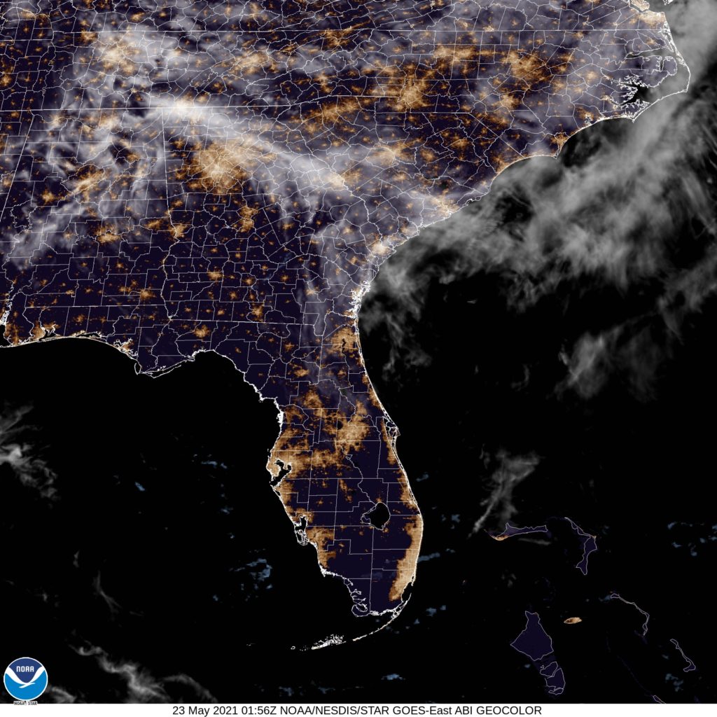
Boy, did new model data come out as I wrote this up? Half way through the forecasting, outlets stopped calling for rain. Interesting. Here is the satellite image, which isn’t really full of information.