It truly is an honor to say that we were there when we forecast for rain in central California, and it verified accurately. Indeed, our forecast in Hanford did verify with a half inch of rain on Monday and Tuesday, which most outlets had figured correctly. The biggest area of difference was the low temperature on Tuesday, which was a few degrees warmer than anticipated. All told, a pretty good forecast, considering the location and the fact that there was actually weather. Victoria-Weather and WeatherNation combined for the victory. Actuals: Monday .46 inches of rain, High 60, Low 46 Tuesday .02 inches of rain, High 60, Low 44
Our forecast today takes us to the Central Valley of California, where the weather may not provide the reprieve you typically expect.
At 1253PM, Hanford was reporting a clear skies and a temperature of 62 degrees. Northern California, particularly at the higher terrain is under advisories for high wind and snow. At the lower terrain, a trough moving ashore from the Pacific Northwestern coast will carry a significant feature with it. The associated cold front will slide into central California with less fanfare, but will still introduce rain through the afternoon tomorrow. The moisture will linger through the morning with more drizzle and fog to start Tuesday. A cooler morning, thanks to clouds and a northerly flow will result. Expect snow to persist in the mountains northeast of town for much longer. High pressure builds in by the end of the day across California. Tomorrow – Rain likely in the afternoon, High 58, Low 45 Tuesday – Rain early, fog and clouds linger, High 60, Low 39
TWC: Tomorrow – Cloudy with periods of rain. High 55, Low 48 Tuesday – Sunny skies (early rain). High 62, Low 41
AW: Tomorrow – Times of clouds and sun with a couple of showers and a thunderstorm; cool; gusty winds and small hail can accompany any downpour High 62, Low 50 Tuesday – Cool with clouds giving way to sun High 63, Low 39
NWS: Tomorrow – Rain before 2pm, then showers and possibly a thunderstorm after 2pm. High 60, Low 49 Tuesday – Sunny High 62, Low 40
WB: Tomorrow – Rain in the morning then rain showers in the afternoon. High 55, Low 48 Tuesday – Sunny (early rain). High 60, Low 43
WN: Tomorrow – Mostly cloudy with rain and isolated storms, High 57, Low 50 Tuesday – Mostly sunny, High 61, Low 42
CLI: Tomorrow – Thunderstorm, High 59, Low 48 Tuesday – Sunny, High 60, Low 39
Some differing opinions on the rain for central California, which opens the possibility of an interesting verification. Some clouds showing up to the north, a precursor to what’s coming.
Acting as a pretty on the nose metaphor around election day, Hanford was hazy, and didn’t act as expected. An impactful haze settled into Hanford on Monday, keeping temperatures significantly cooler than expected ahead of election day. By the end of the forecast period, though, things fell into place. Weathernation had the top forecast, and it was on the strength of a nearly perfect Election Day forecast. No word on if they have been contacted by any pollsters for 2024. Actuals: Monday, High 71, Low 47 Tuesday – High 80, Low 48
Let’s do an Election Day forecast, shall we? In the parlance of politics, we’ll head from one blue state to another, but we’ll travel through some red states along the way. It will take 4 days, or about as long as it will take to count all the votes, to cover 2107 miles. The fourth day will be slightly shorter than the first three, with those first three days concluding after 544 miles of driving at around 68mph. Most cars can stream audio now, so maybe avoid the AM radio and just enjoy the open road for this trip.
DAY ONE (Wednesday)
Champaign, Illinois
As the jet has drifted back a bit to the north, things have started to warm up for the middle of the country, and our drive on Wednesday can likely be done with the windows down if the car gets too stuffy. There won’t be much weather to remark on, save for breezes that could gust to 15mph at times. Noting treacherous. We’ll arrive in suburban Tulsa for the night.
DAY TWO (Thursday) Thursday will be similar to Wednesday, though with a diminished chance of a prevailing wind. We will drive through central and western Oklahoma, still cleaning up after a calamitous ice storm, and pass through the Texas Panhandle into New Mexico under sunny skies. We will stop at the San Ignacio exit west of Santa Rosa and completely be out of touch with the rest of civilization.
DAY THREE (Friday) As we approach California, we will do it through the desertified parts of the Southwest. New Mexico and Arizona will remain clear and dry, but a system moving into the West Coast will stir some winds inland. Watch for tumbleweeds in this part of the world. The drive will end at Silver Spring Road between Kingman and Seligman in Arizona.
DAY FOUR (Saturday) As is often the cast, the feature moving into the West Coast will lose a lot of structure as it gets into the mountains, but that doesn’t mean it will be completely obliterated. In fact, well defined fronts will still exist, including a cold front we will drive though in southern California. That’s not to say it will be particularly rainy, if at all, as the frontal passage will be between Barstow and Mojave, right in the heart of the desert. When we descend into the central Valley at Bakersfield, we’ll probably get into some soupy overcast with drizzle. Expect that right on down to Hanford. Strange, right? The only part of the trip with rain will be the part in California.
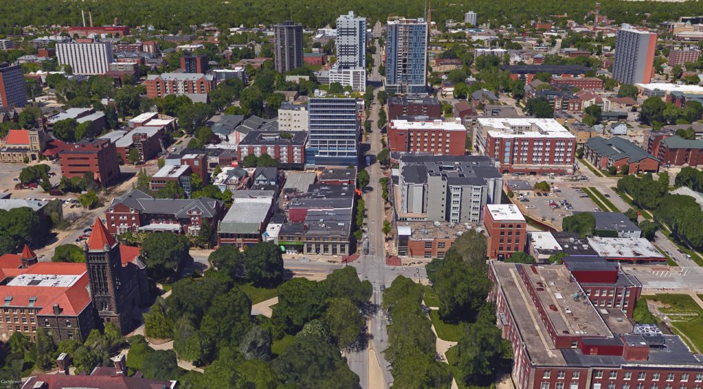
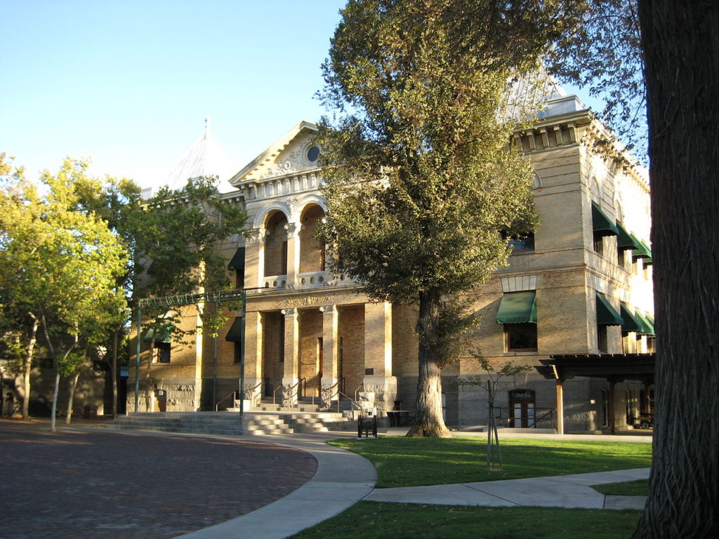
Hanford, California
By Armona at en.wikipedia, CC BY-SA 3.0, https://commons.wikimedia.org/w/index.php?curid=17978087
All right, everyone, let’s get back to work for the week, and start our November with an Election Day forecast in the Central Valley of California.
At 853PM, PT, Hanford was reporting a temperature of 55 degrees with clear skies, calm winds and haze. The haze is expected to linger overnight. There is an air quality alert of the Central Valley, in part because of the inversion and stillness leading to the aforementioned haze. Broadly, the western US is under a ridge, but a weak area of upper level troughing exists, centered over California. This is helping to keep temperatures a bit cooler than they would be otherwise, but there isn’t really an impetus for precipitation. The undercutting trough will shift to the east over the next couple of days, allowing a little bit of heat to return and the haze to become less likely by Tuesday. Tomorrow – Mostly sunny, haze in the morning High 81, Low 48 Tuesday – Clearer still, a bit warmer, High 84, Low 47
TWC: Tomorrow – Sunny, High 84, Low 46 Tuesday – Generally sunny despite a few afternoon clouds, High 83, Low 45
AW: Tomorrow – Mostly sunny; air quality will be unhealthy for sensitive groups High 84, Low 47 Tuesday – Sunshine and very warm; air quality will be unhealthy for sensitive groups High 83, Low 46
NWS: Tomorrow – Sunny High 80, Low 49 Tuesday – Mostly sunny, High 80, Low 50
WB: Tomorrow – Sunny High 82, Low 49 Tuesday – Mostly sunny, High 82, Low 47
WN: Tomorrow – Mostly sunny, High 81, Low 47 Tuesday – Partly cloudy, High 81, Low 48
FIO: Tomorrow – Clear throughout the day. High 84, Low 49 Tuesday – Clear throughout the day. High 83, Low 47
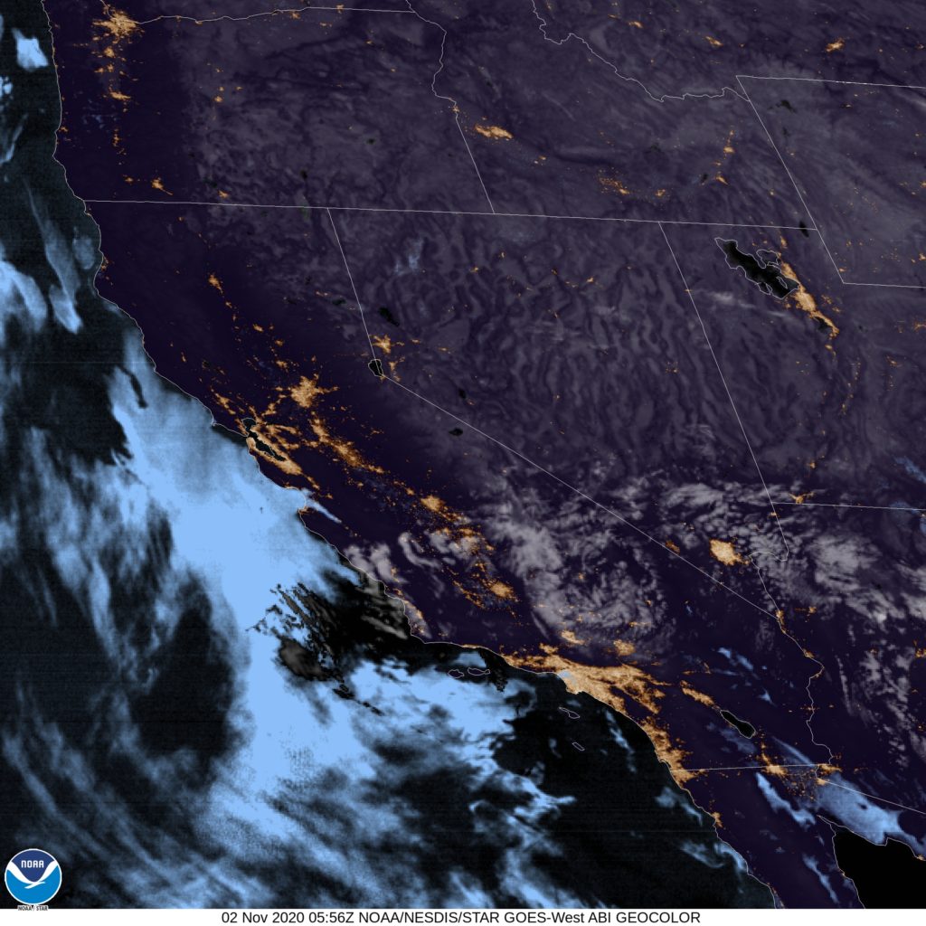
I’m the only one calling for a warm up, but the margins are so slim, I don’t think anyone will notice. Here is the satellite, in which you can see a few wispy clouds.