Bay City, Michigan to Atlantic City, New Jersey

According to Google, it would be almost 8 hours to fly from the Bay City area to Atlantic City. It’s eleven and a half hours to make that drive. Combined with the wait at the airport, getting your bags, rental cars, etc. It’s probably shorter and definitely easier to drive. We’ll do this in one big day, covering the 741 miles at a pace of 64.4 miles.

Bay City, Michigan

As has been the case for weeks now, there is another feature rippling through the Great Lakes. This one is moving in from the central Plains, which is further south than anything we’ve seen for a while. That means it hasn’t really been able to tap into much moisture yet, which is great, because there isn’t any precipitation yet. It is cloudy now in Bay City, which will keep things from cooling too much overnight. Temperatures, in fact, will start to warm up overnight, which means the light precipitation moving through lower Michigan tomorrow morning will fall as rain, with a bit of a mix just as we get started. The threat will mostly wane after we pull through Toledo. Clouds will chase us into Pittsburgh, but by the time we get to the Allegheny Mountains, the sun should pop out. The low pressure center is going to be pretty broad, and the rotation associated with it will carry off shore. The southwesterly fetch could lead to a bit of low clouds and fog late in Atlantic City upon our arrival.
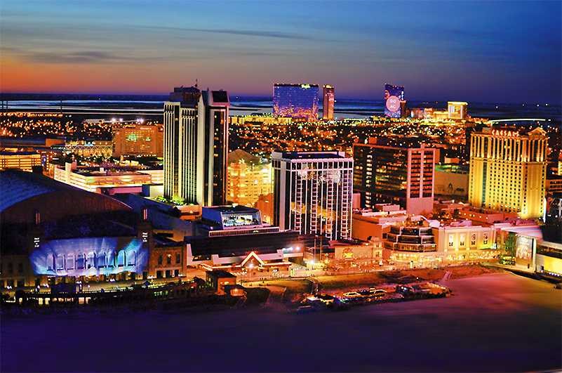
Atlantic City, New Jersey

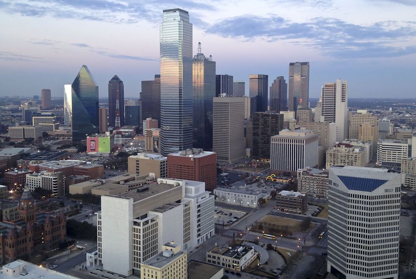
Dallas, Texas to Bay City, Michigan

This trip might not seem that long, but it’s actually going to last for parts of two years. The trip actually covers 1213 miles, and will last for two days, with one being a couple hours longer than the other. We will move at a pace of 66.1mph, which means we will be spending New Year’s Eve about 529 miles from Dallas.

DAY ONE (Wednesday)

The real show right now is the copious lake effect event happening closer to our destination in Bay City. More precipitation is moving into the Southwest as well, but that won’t be hurdling the Rockies. Instead, we can expect high pressure and mostly sunny skies from Texas through Oklahoma and into Missouri, where we will reach Cuba for the Countdown.

DAY TWO (Sunday)
The disturbance in the Great Lakes is winding down. The parent feature is shifting off into the North Atlantic and becoming a problem for Baffin Island. I’m not fully convinced there won’t be snow in Lower Michigan on New Year’s Day, as wind still looks to be predominantly from the west. That said, our route is really going to be in range for the snow between about Michigan City, Indiana and Paw Paw, Michigan. That’s maybe an hour? And even then, only if the snow slows down traffic. Bay City should be living the good life in the eastern part of the state. Happy New Year!

Last gasps of summer

East of the Rockies, we’re headed for a cool stretch through the middle of September. The end of August was quite the opposite, with the final throes of hot weather reaching as far north as Muskegon Bay. Bay City saw temperatures on August 21st and 22nd that climbed all the way up to the upper 80s. One last dance for summer time. It was a family affair, with Victoria-Weather, The Weather Service and Weathernation each grabbed a piece of the win.
Actuals: August 21 – High 88, Low 64
August 22 – High 89, Low 62

Grade: A-B

Bay City, Michigan

We’re going to take a trip up to the Great Lakes at just the time of year that the Great Lakes are the most pleasant.

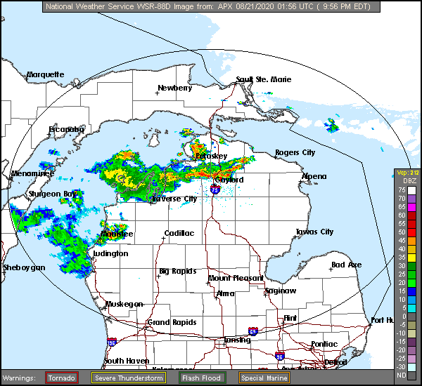
At 953PM, ET, Bay City was reporting clear skies and a temperature of 72 degrees. A weak cold front moving across the Mackinac Strait, with a line of thunderstorms north of and heading for Gaylord. A weak upper level trough has sagged into northern Michigan with the cold front, but as the surface low associated with it continues off towards northern Quebec, the boundary will stall.
The proximity of the boundary will mean a threat for an afternoon thunderstorm in Bay City, however it is more likely that the wet weather will stay north of of Saginaw Bay. A lower level feature in the Upper Midwest will redirect flow and press rain and storms back northward out of Lower Michigan. Saturday will be clearer, albeit warmer and muggier.
Tomorrow – Partly cloudy, High 85, Low 64
Saturday – Sunny, High 88, Low 62

TWC: Tomorrow – Partly cloudy skies. High 87, Low 62
Saturday – Partly cloudy skies. High 88, Low 60

AW: Tomorrow – Mostly sunny and warm High 87, Low 62
Saturday – Mostly sunny and very warm High 88,Low 60

NWS: Tomorrow – Mostly sunny High 85, Low 64
Saturday – Sunny High 88, Low 62

WB: Tomorrow – Partly cloudy then clearing, High 87, Low 62
Saturday – Mostly sunny, High 87, Low 63

WN: Tomorrow – Partly cloudy, High 86, Low 64
Saturday – Mostly sunny, High 88, Low 61

FIO: Tomorrow – Clear throughout the day. High 87, Low 61
Saturday – Partly cloudy throughout the day. High 86, Low 61

The radar looks perhaps a bit more ominous than it actually is. That is especially the case for the southern end of this image, which is where Bay City lies.