Thunderstorms moved into Amarillo after the 4th of July as the dry line finally shifted east and away from West Texas. on the 5th and 6th, as a system moving through the northern US dragged it into oblivion. As it usually does, it set off some nocturnal convection, which nearly everyone had in the forecast. I don’t feel bad for the outlets that left thunder out of the forecast for the 6th, as there were a solid 5 or 6 hours of stormy weather. Everyone who kept it dry on the 5th though, you were right, up until the 1156PM observation, when scattered storms were reported at KAMA. That’s tough. The Weather Service and WeatherNation had storms on both days of the forecast period, and WeatherNation narrowly edged the Weather Service to earn an Amarillo A+ Actuals: Wednesday, July 5th, Storms reported late, no accumulation, High 91, Low 69 Thursday, July 6th, .04″ of rain in thunderstorms, High 87, Low 63
Before we get to this forecast in the Texas Panhandle, I want to note that with the looming collapse of Twitter, all posts will also be shared on Post.news and Mastadon under my RhinoandCompass handle. Now, it is the beginning of July. What do you think the weather is going to look like?
At 953PM, ET, Amarillo was reporting clear skies and a temperature of 81 degrees with clear skies. Temperatures are on the rise again after a dry line swept through uneventfully earlier in the week. Dew points are back in the low 50s after surging over 60, an unusual event for the Texas Panhandle in the heart of summer. The cold front htat pushed the dry line along is bringing some shower activity to the Oklahoma Panhandle, but will not have the juice to reach Amarillo. The jet is well aloft and fairly weak, but enough to tap into the instability of the northern Plains. The cold front noted earlier is draped through the Prairies of the central States to the Panhandles. Though this is the feature that compelled the dry line eastward, it will also pose a threat for some rain and clouds as the boundary sinks to the south on Wednesday evening. Expect some more humidity and likely some cooler temps also on Thursday. Tomorrow – Mostly sunny, High 95, Low 68 Thursday – Isolated morning storms High 87, Low 65
TWC: Tomorrow – Generally sunny despite a few afternoon clouds. A stray shower or thunderstorm is possible. High 93, Low 69 Thursday – Partly cloudy skies. High 88, Low 65
AW: Tomorrow – Sunshine mixing with some clouds High 92, Low 68 Thursday – A heavy thunderstorm in the afternoon; storms can bring flooding downpours, hail, damaging wind gusts, and an isolated tornado High 84, Low 64
NWS: Tomorrow – Partly sunny, then gradually becoming sunny, Late storms, High 92, Low 70 Thursday – A 30 percent chance of showers and thunderstorms before 8am. Some of the storms could be severe. Partly sunny, High 87, Low 65
WB: Tomorrow – Mostly sunny (late showers/storms) High 89, Low 69 Thursday – Partly cloudy, High 85, Low 65
The Texas Panhandle was a chilly place to be at the end of January and beginning of February. Well, it was cold in Amarillo relative to most of the forecasts available, but Tuesday was actually quite chilly. Monday was in the mid-60s, but was still a few degrees shy of the forecast. Accuweather was on the low end of the forecast range, and had a very good total, winning the day. Monday – High 66, Low 29 Tuesday – High 46, Low 32
Amarillo is Spanish for “yellow” and was likely named as such because the yellow wildflowers of the region. Now you have learned something.
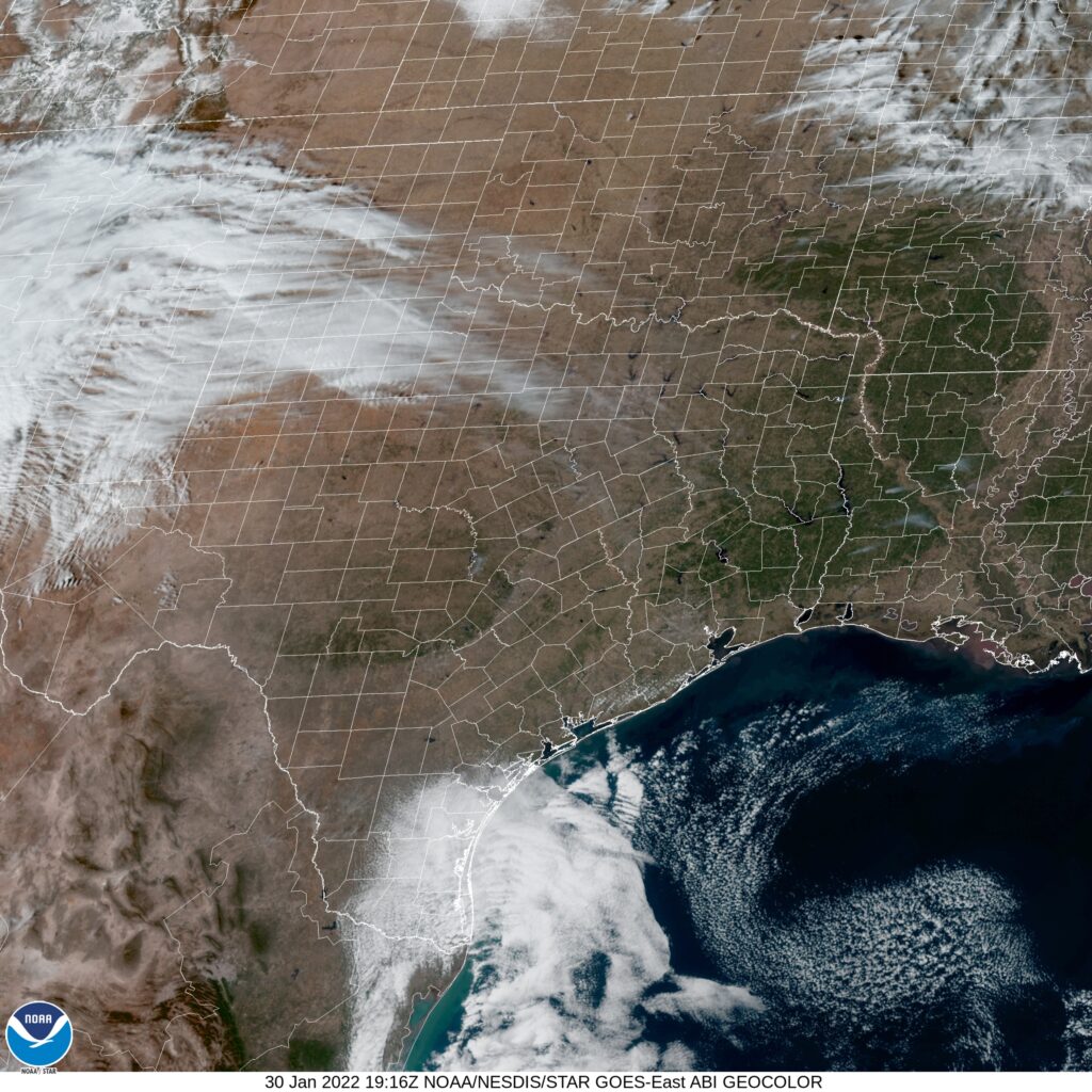
At 1253PM, CT, Amarillo was reporting a temperature of 57 degrees with clear skies. Dry air was present in west Texas, with dew points lingering in the low 10’s, and at Amarillo, it was 11. This sun and dry air will lead to some relatively balmy high temperatures this afternoon. Radar noted some precipitation coming out of New Mexico, but given the low dew points in the region and a lack of observations reflecting the precipitation, it was unlikely any was reaching the ground. A deep digging upper level trough is generating the clouds and false radar returns in the region, and while low pressure will organize as the trough presses towards the Gulf of Mexico, precipitation will not really blossom until the system can access Gulf moisture, well beyond the ability to influence Amarillo. Monday will be chilly, but with a few morning clouds. A stronger, advancing feature from the Rockies will start to move into the region late on Tuesday. Precipitation will hold off until after midnight, but clouds and a promise of winter weather will encroach on Tuesday night. Tomorrow – Sunny, High 68, Low 32 Tuesday – Increasing clouds. Cooler, High 50, Low 35
TWC: Tomorrow – Plentiful Sunshine, High 67, Low 29 Tuesday – Windy with increasing cloudy, High 49, Low 33
AW: Tomorrow – Sunshine, High 66, Low 29 Tuesday – Considerable cloudiness and cooler High 44, Low 33
NWS: Tomorrow – Sunny, High 66, Low 31 Tuesday – Mostly sunny High 49, Low 35
WB: Tomorrow – Mostly sunny, High 67, Low 32 Tuesday – Mostly cloudy. Cooler, High 46, Low 34
WN: Tomorrow – Sunny, High 66, Low 31 Tuesday – Partly cloudy, High 49, Lo 34
FIO: Tomorrow – Clear throughout the day. High 66, Low 29 Tuesday – Mostly cloudy throughout the day. High 48, Low 35
That is a pretty dramatic cool down, but take heart. It’s pretty warm there now, though.