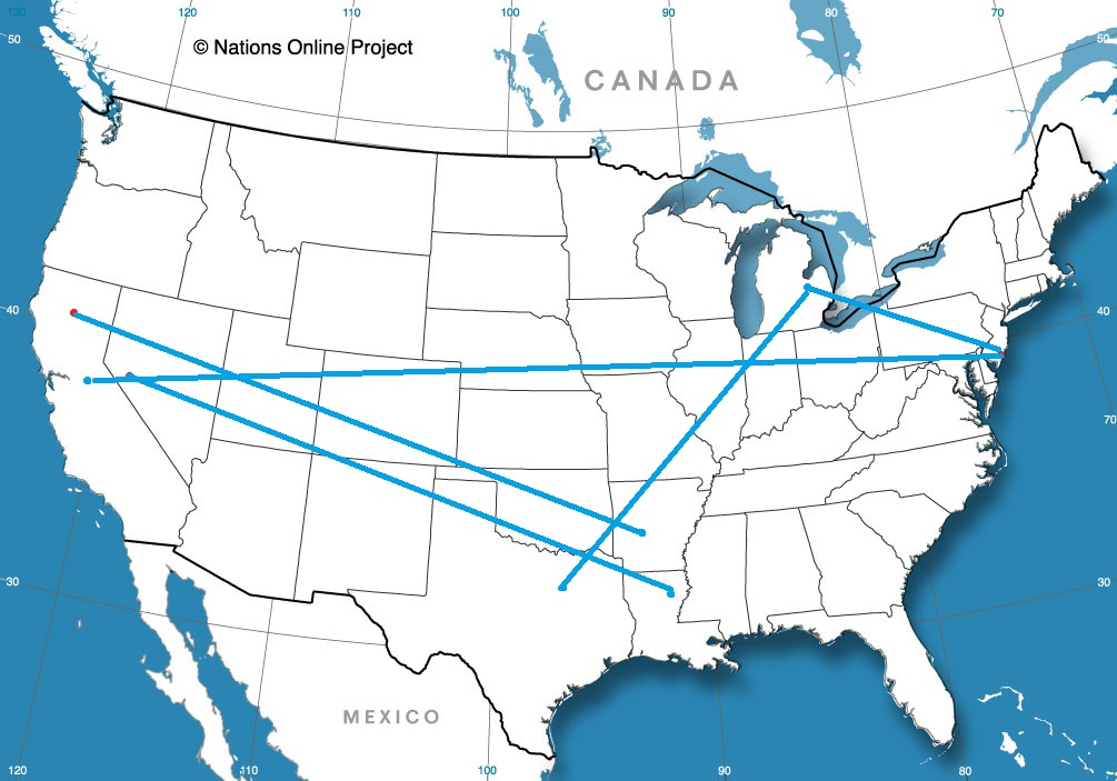
It’s a short trip today, but really, a four hour trip between a couple of towns that avoids much population anywhere along the way is pretty exciting. This means that we haven’t really been able to talk about a trip through places like Paris, Texas, or Broken Bow, Oklahoma or De Queen, Arkansas. not that the post will include them after this, but still! It’s a 239 mile journey that will last just shy of 4 1/2 hours, covering only 54.5. At that pace, maybe we will lament driving through Paris, Broken Bow and De Queen.
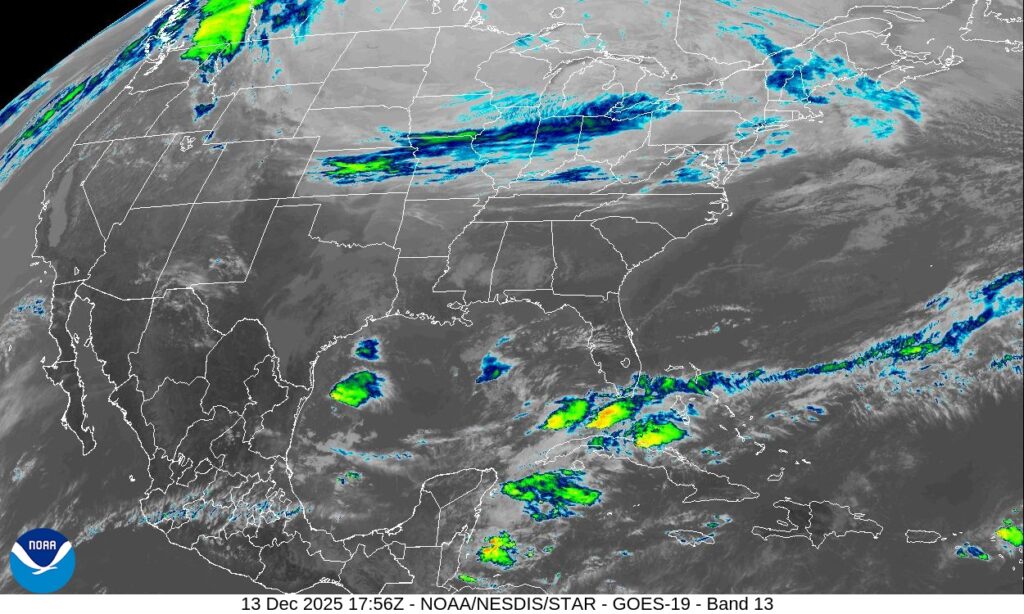
If you have been following along here at Victoria-Weather, or if you have been outside east of the Rockies lately, you know that it is pretty chilly. A warm up is coming, however, as high pressure that has been keeping it so cold is shuffling eastward. This won’t disrupt the day at all, as it often can when one air mass leaves town. The tail of the surface high is sinking into hte northern Gulf, which will prevent moisture from infiltrating our route. It should be a fine day for driving, in about perfect conditions for keeping the windows rolled up, but without needing the heat or AC.