As seen in the video from NBC news, tragedy has befallen Baltimore Harbor, where a cargo vessel leaving the harbor lost power and steamed directly into a support for the Key Bridge, the outermost bridge spanning the Patapsco River, collapsing the span into the River. Two were rescued, though around 20 drivers and construction workers are through to be missing.
Today, this morning, while time is the most critical for whatever recovery can be done to save lives if possible, the weather was at least accommodating. There were clear skies and the Patapsco was calm, which will allow the waterway to be as clear as the waterway can get. It is a busy thoroughfare for maritime traffic and surrounded by a large city, so it is generally murky, and often quite chilly.
Even after the initial recovery is completed, it will be important to continue clearing the wreckage from the mouth of the Patapsco. Baltimore Harbor is one of the busiest on the Eastern Seaboard, and an important source of goods coming into and out of the United States. The longer the harbor is closed, the more likely it is to make a dent on the economy.
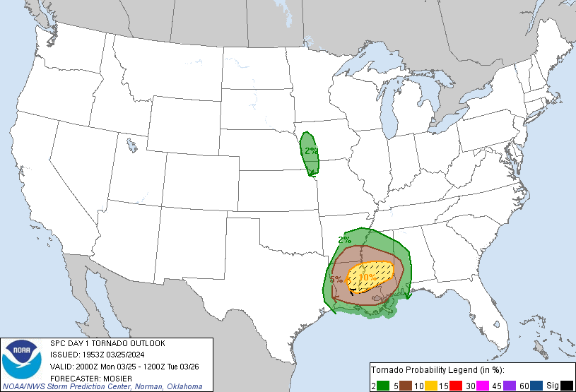
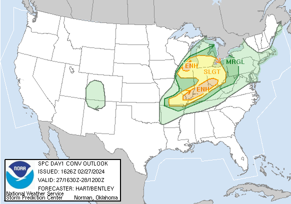
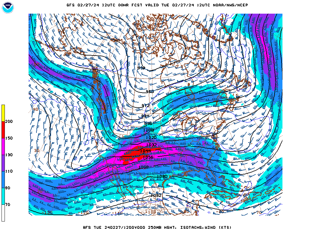
Unfortunately, the weather will not be cooperating in these efforts in the next couple of days. There are storms, both rain and snow, from the Great Lakes to the the Florida Panhandle, and this system is headed eastward. It won’t have much energy or much moisture for the coastal Plains, but it will rejuvenate upon reaching the ocean. Even before moisture falls, inflow will blow right through Chesapeake Bay up to Baltimore Harbor.
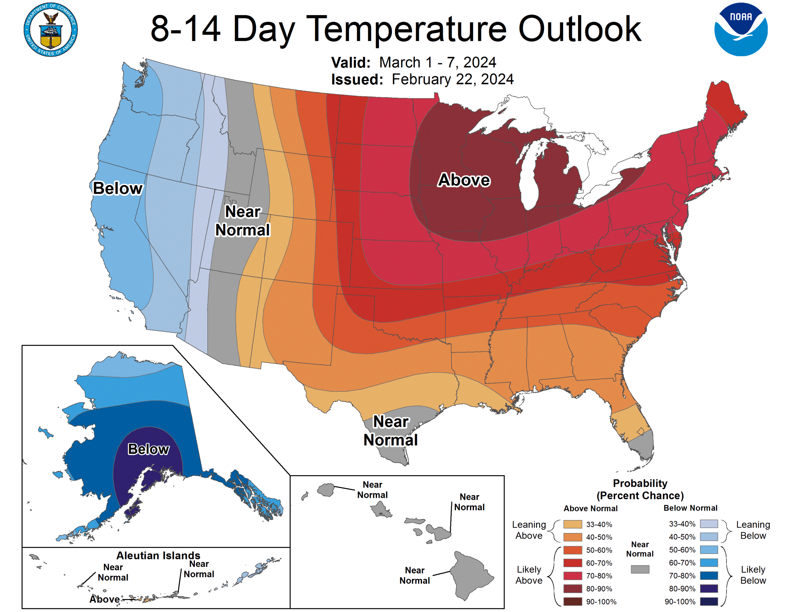
Rainfall will likely be most intense on Thursday morning, before a reconstituted system can pull off to sea. For the next couple of weeks, the mid-Atlantic looks to expect normal temperatures, but above normal moisture. The falling rain muddies up rivers, and will not help divers without the aid of sonar. Fortunately, for the long term recovery and replacement efforts, near normal conditions are expected around Baltimore, which means warming temperatures and average precipitation.
Hopefully, this can facilitate a rapid clean up and a return to normal for the city of Baltimore. Victoria-Weather extends condolences to those who have lost during this tragedy.