This is a drive I can get behind. It will be a 4 day drive along the southern tier of the US. The drive will cover 2331 miles, and we will cover ground at approximately 68.5mph, which is a decent clip. That decent clip also means a robust 548 miles traveled on days 1-3, with a long day in the southeast on day 4. they drive fast in Florida, so I bet we save some time.
DAY ONE (Saturday)
For a drive in the southwest, our route will take us through a couple of pretty large areas, as we will encounter the sweltering Phoenix and moderately cooler Tucson on our way to New Mexico. Precipitation is not expected, and population will be minimal between the towns in question. The terrain in central New Mexico may aid in the development of a few showers and storms, but I think those will all remain east of where we will stop, exit 116 between Akela and Las Cruces.
DAY TWO (Sunday)
The dry line and the monsoon will be the two most identifiable features on our route on Sunday, but the late in the day develoment of these two features, and the lack of moisture available to them because of a batch of energy in the northeast means we will thread this needle without much threat for precipitation. We’ll make it to Kerrville, on the outskirts of San Antonio to finish the day.
DAY THREE (Monday)
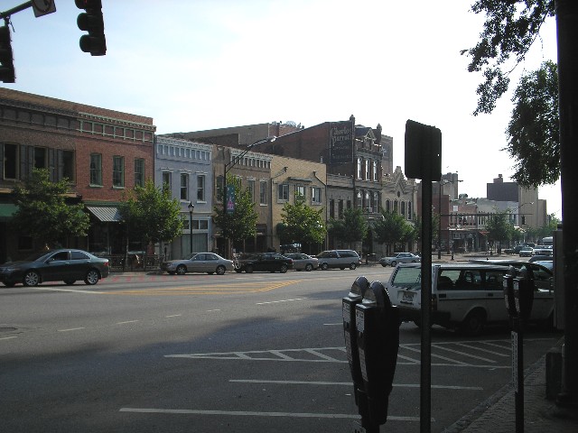
The tail of a cold front will wrap around an advancing bubble of high pressure on Monday, and will touch off a few squirts of rain and isolated thunderstorms along the Texas/Louisiana border as we approach. It looks the wettest on the Louisiana side of the line, and the last couple of hours to Denham Springs, just east of Baton Rouge, bring a chance of a wet windshield.
DAY FOUR (Tuesday)
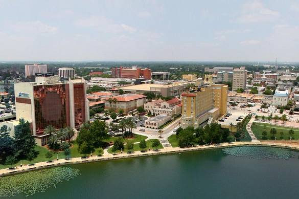
This isn’t something we see very often, especially this time of year, but high pressure is expected to settle into the southeastern US by early next week. Hot? Yes. Dry? Also yes, even in Lakeland. There might be a stray spritz left over in Denham Springs, but it should be good weather to enjoy the lakes of central Florida.