This has been a challenging week. Tornadoes have now struck in several places, most famously in Jefferson City, Missouri and Dayton, Ohio. This 5 day trek, covering 2,585 miles will cover nearly all of the regions that were most heavily impacted. We’ll parcel this day into 530 mile segments, with a pace of 66mph. I thought it would be quicker given the surfeit of interstate we will cover, but safety first. hopefully the tornado threat is lessening as we traverse the central Plains.

DAY ONE (Thursday)
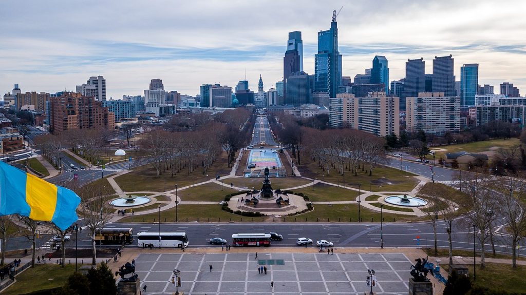
Eastern Pennsylvania hasn’t been safe from the tornadoes either, with a twister northeast of Philadelphia last night. There is severe weather in the offing again today, however by tomorrow, when we start on our way westward, the system will finally be abating a bit. The rain won’t be any less, unfortunately, as the strong area of low pressure causing all this nastiness will occlude south into the Ohio Valley. Some rain, thunder and maybe another rogue severe (not as widespread!) thunderstorm will be possible through Pennsylvania in the morning. Rain will be heaviest on the western exposures of the Appalachians, but it will be tapering off through eastern Ohio. We should be dry by Columbus, and pleasantly cool in Huber Heights, a suburb of Dayton, though not as heavily damaged by the Memorial Day tornado. It will be our stop on Thursday night.
DAY TWO (Friday)
The weather is going to take a dramatic turn for the better on Friday. There might be a rogue thunderstorms, especially in the afternoon across Illinois, because we can’t just leave it well enough alone, but they will be garden variety, pop up storms on the back end of a broad spring cyclone. We’ll make it to Sarcoxie, Missouri in the southwest part of the state on a hot, humid afternoon.
DAY THREE (Saturday)
You might think that the drive from southwest Missouri, through Oklahoma and into the Texas Panhandle would bring the best chance for significant severe weather, and with the way things have gone lately, it would seem even more likely that you’d be right. By Saturday, though, the tail of the cold front that has caused so many problems will lie through Kansas, leaving us with some warmer, humid but dry conditions for the day. As the day turns to night, it looks like instability will take over and some terrific lightning producing, if not severe thunderstorms will pick up across the state. Not that this should bother us, we’ll be in the Texas Panhandle, spending the night in Pampa by the time things get going in the Sooner State.
DAY FOUR
We will likely see and hear some overnight convection associated with the dry line in the Texas Panhandle overnight, but it will also be associated with cooling aloft. That cooling is going to be gone when the sun rises, and after a short drive to the west, we will be on the dry side of the dry line anyways. The air will be clear in New Mexico, and it’s tough to find a good stopping point in northeast Arizona, but there is a travel center about 15 miles from Chambers that will suit us fine.
DAY FIVE
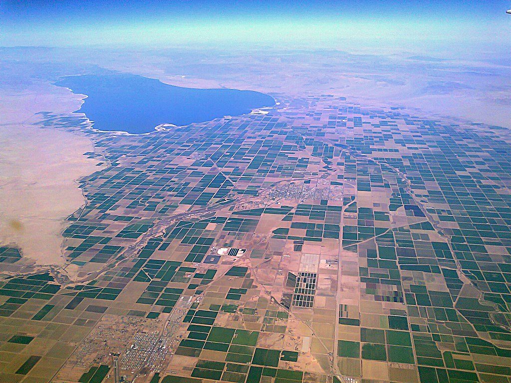
The most significant change we will be the elevation. The Petrified Forest is fairly high up there, and we will descend towards Phoenix, and then cut off towards El Centro. No significant weather is expected, but El Centro is pretty stinkin’ hot.

