There are so many cities in Florida, all clustered on the Atlantic coast, and we’re involved in a little East Florida two-step, recently looking at Sebastian, and now moving on to Palm Bay, which isn’t very far away at all.
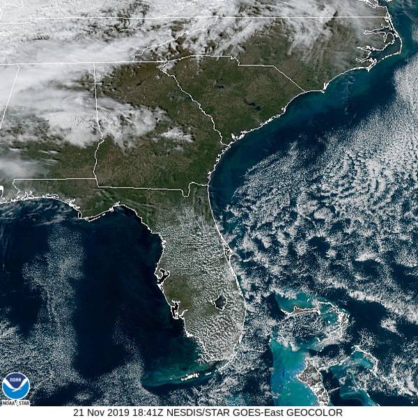
At 1253PM, ET, Palm Bay was reporting a temperature of 76 degrees with fair skies. High pressure was smothering the southeastern US, allowing for the pleasant conditions. Cool air being cycled south by the remnants of Tropical Storm Sebastian was generating some rolling fair weather clouds over the southern Gulf Stream.
The dome of high pressure will remain centered over the Florida Peninsula for the next couple of days, even as a wave moves southeast out of the Upper Mississippi Valley. Some return flow at the surface may lead to some extra cloudiness through all hours over the Palm Bay area.
Tomorrow – Sunny, High 77, Low 58
Saturday – Partly cloudy, High 81, Low 59
TWC: Tomorrow – Partly cloudy skies in the morning will give way to cloudy skies during the afternoon. High 77, Low 59
Saturday – Intervals of clouds and sunshine High 80, Low 60
AW: Tomorrow – Partly sunny and pleasant High 77, Low 62
Saturday – Partly sunny and pleasant High 80, Low 61
NWS Tomorrow – Partly sunny, High 78, Low 56
Saturday – Partly sunny, High 81, Low 58
WB: Tomorrow – Partly cloudy, High 76, Low 56
Saturday – Partly cloudy, High 79, low 60
WN: Tomorrow – Partly cloudy, High 77, Low 59
Saturday – Partly cloudy, High 80, Low 60
FIO: Tomorrow – Mostly cloudy throughout the day. High 77, low 60
Saturday – Partly cloudy throughout the day. High 80, Low 59
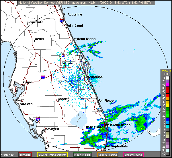
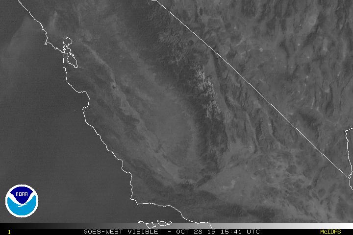
Not a lot of forecast variety, but a bit of space between bosom buddies the NWS and WeatherNation. Here is the afternoon’s satellite imagery for the state of Florida.