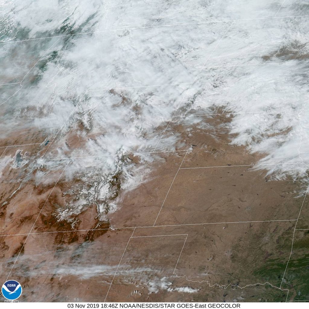
At 1053AM, MT, Cheyenne was reporting a temperature of 50 degrees with sunny skies and a brisk northwest wind of about 25mph in gusts. The off-mountain winds are certainly helping to bolster the warm up this afternoon. There was a weak ridge building in the front range as well, but most of the warm up at this time is mechanical in nature.
The upper level pattern is quite static, and a glance at the jet pattern looks to remain unchanged through the beginning of the work week. This means a tight thermal gradient just to the northeast of Cheyenne, which will result and a continuing brisk wind in the region. If the wind continues to be more westerly than northerly, Cheyenne will also be able to sustain some warmer temperatures.
Tomorrow – Partly cloudy, High 40, Low 26
Tuesday – Mostly
TWC: Tomorrow – Intervals of clouds and sunshine. High 43,
Tuesday – Sunny skies High 55, Low 29
AW: Tomorrow – Partly sunny High 43, Low 26
Tuesday – Mostly sunny and milder High 55, Low 28
NWS: Tomorrow – A chance of flurries before 11am, then a chance of sprinkles. Partly sunny High 40, Low 22
Tuesday – Sunny, High 54, Low 23
WB: Tomorrow – Mostly cloudy, Colder, High 42, Low 28
Tuesday – Sunny, not as cool, High 55, Low 30
WN: Tomorrow – Partly cloudy, High 40, Low 23
Tuesday – Mostly sunny, High 53, Low 24
FIO: Tomorrow – Partly cloudy throughout the day. High 43,
Tuesday – Clear throughout the day. High 53, Low 29
A look at the satellite shows some striations in the clouds north of Cheyenne, which are caused by the strength of the jet through those clouds.


Comment (1)