We’re just following election states around, I guess. Well, this time, we are off to Texas, which votes tomorrow as part of Super Tuesday. I’m sure that regardless of who they support, Texans are all going to vote for good weather.
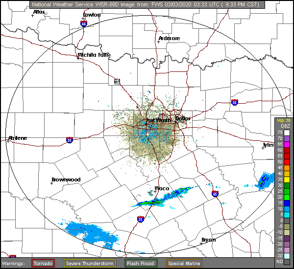
At 958PM, CT, Killeen was reporting a temperature of 67 degrees with fair skies. There was some light rain in the area, south of Killeen. It’s not particularly heavy, and most of it is certainly not reaching the ground,
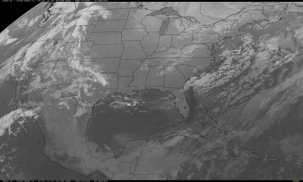
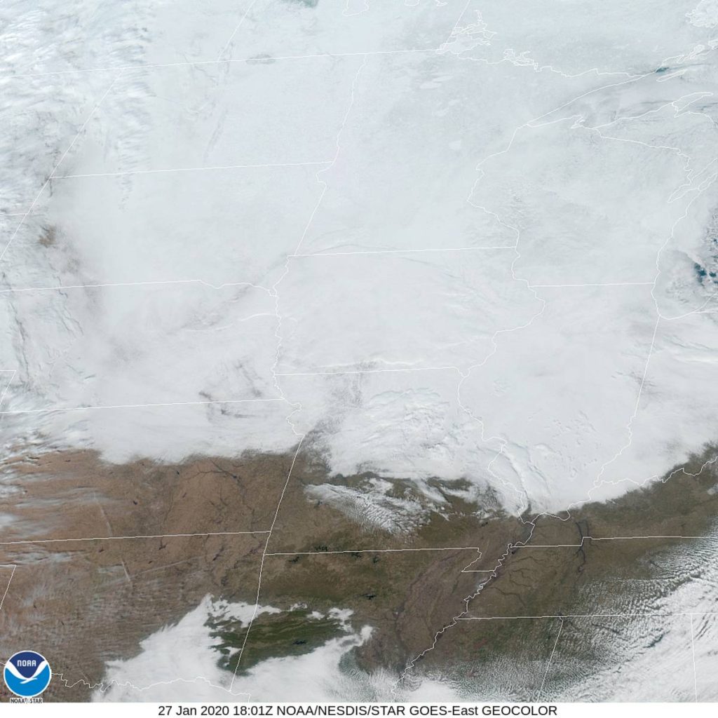
A complicated system in the eastern US is born of a jet with a split tail, merging over Indiana, with a weak cold front sweeping through Texas. The southern end of the front is
Tomorrow – Clouds and light rain arriving late, High 76, Low 62
Wednesday – Rain and thunderstorms through the day, High 64, Low 50
TWC: Tomorrow – Overcast. A stray shower or thunderstorm is possible High 76, Low 61
Wednesday – Rain likely. Potential for heavy rainfall. High 62,
AW: Tomorrow – Cloudy and not as warm with a brief shower or two High 70, Low 59
Wednesday – Cooler; heavy rain and a thunderstorm in the morning, then a little rain; watch for flash flooding High 59, Low 48
NWS: Tomorrow – A 30 percent chance of showers, mainly after noon. High 72,
Wednesday – Showers and possibly a thunderstorm High 60, Low 50
WB: Tomorrow – Cloudy. A slight chance of showers in the morning, then a chance of showers in the afternoon. High 75,
Wednesday, – Showers. A chance of thunderstorms in the morning. Then a slight chance of thunderstorms in the afternoon. High 64, Low 50
WN: Tomorrow – Mostly cloudy with showers likely, High 72, Low 59
Wednesday – Mostly cloudy
FIO: Tomorrow – Overcast throughout the day. High 76,
Wednesday – Rain until evening.High 65, Low 49
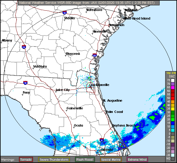
If I had a vote, I would vote both against Weatherbug and my blogging software, because goodness, if they weren’t fickle tonight. Here is the radar, with that drizzle moving through central Texas.