
The Bay Area of northern California is a complicated weather scene thanks to the water, the changing terrain and the fact that there isn’t a heck of a lot of data immediately to the west of there. Fingers crossed, models don’t fail us now!
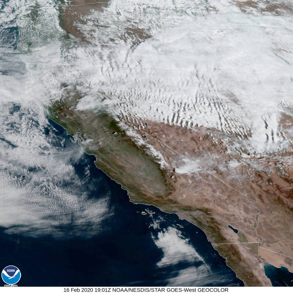
At 1053AM, PT, San Jose was reporting a temperature of 58 degrees with mostly cloudy skies. The regional satellite showed off the jet stream through northern California, with some striated clouds moving through Nevada and Utah after passing the Sierras.
A surface ridge will build over the west coast over the next few days, further underscoring the stability in the region. The tail of a jet streak will press eastward, allowing a strong Pacific ridge to really put
Tomorrow – Sunny, High 68, Low 46
Tuesday – Mostly sunny, High 68, Low 45
TWC: Tomorrow – Partly cloudy, High 70, Low 46
Tuesday – Abundant sunshine. High 67, Low 44
AW: Tomorrow – Plenty of sunshine High 69, Low 46
Tuesday – Plenty of sunshine High 67, Low 42
NWS: Tomorrow – Cloudy through mid morning, then gradual clearing, High 69, Low 43
Tuesday – Sunny – High 68, Low 40
WB: Tomorrow – Partly cloudy in the morning, then becoming sunny, High 69, Low 45
Tuesday – Sunny, High 66, Low 43
WN: Tomorrow – Mostly sunny, High 69, Low 43
Tuesday – High 68, Low 40
FIO: Tomorrow – Mostly cloudy throughout the day. High 68,
Tuesday – Partly cloudy throughout the day. High 67, Low 41
Here is a look at that satellite I mentioned. Pretty cool how apparent the jet stream is, if you ask me, a local weather nerd.
Comment (1)