Monroe was one of the first places impacted by the Easter Sunday tornado outbreak in the southern US. Monroe saw damage at the airport, and hundreds of homes and buildings in the area. Fortunately, it looks like we will be getting some more tolerable weather through the middle of the week. Let’s see if I can prove that.
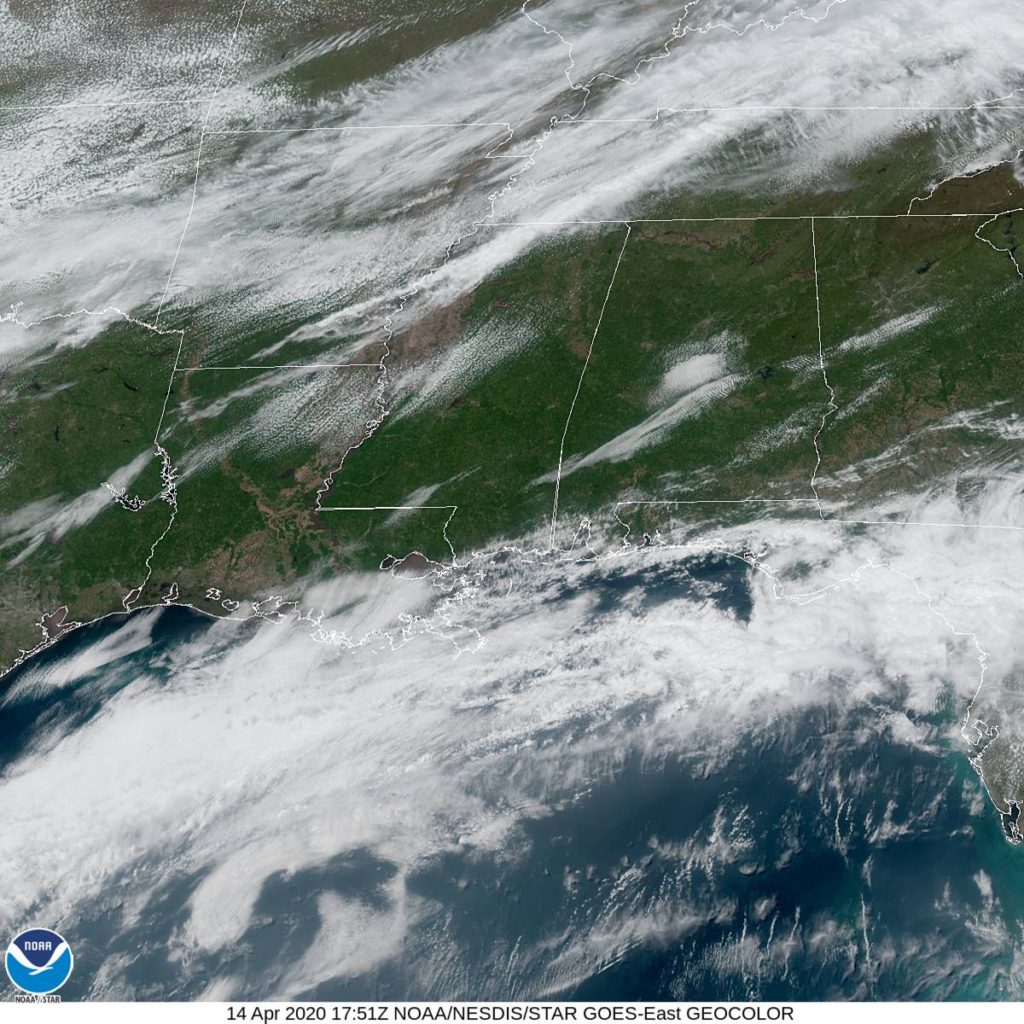
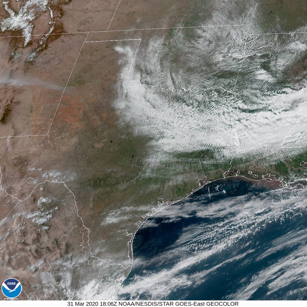
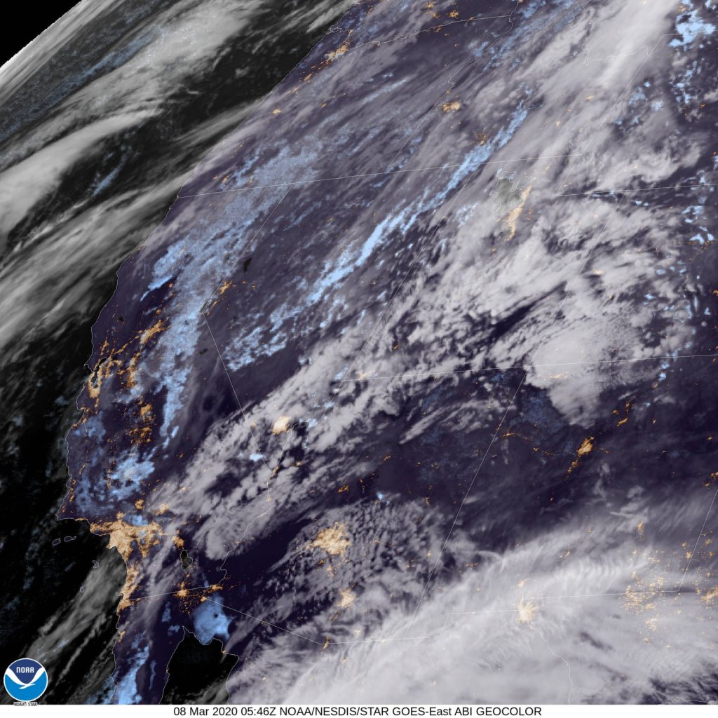
At 1253PM, CT, Monroe was reporting a temperature of 59 degrees with a north wind and mostly sunny skies. There were a few stray clouds to the west, from El Dorado, Arkansas to Ruston and Shreveport, but Monroe was in a sunny streak of the atmosphere. The north wind trailed a still active cold front that stretched from north Florida to the Gulf of Mexico, while the band of clouds atop northern Louisiana was associated with a much weaker trough wrapping into the same area of low pressure as the front. That low was heading towards Ellesmere Island, which should give an indication of how strong it’s influence is.
The parent jet trough is winterlike in it’s strength. The trough is broad and encompassing, but its momentum is carrying it eastward at a pace that doesn’t reflect how weak the flow is behind it, especially given how broad the trough is. With cold air pressing eastward, there doesn’t seem to be much poleward motion, and Monroe looks to be ensconced in cool dry air for the middle of the week.
Tomorrow – Partly cloudy, High 65, Low 37
Thursday – Mostly sunny, High 70, Low 40
TWC: Tomorrow – Sunny skies, High 65, Low 40
Thursday – Mainly sunny, High 73, Low 41
AW: Tomorrow – Mostly sunny, High 64, Low 38
Thursday – Mostly sunny and pleasant, High 72, Low 39
NWS: Tomorrow – Patchy frost before 8am. Otherwise, sunny, High 66, Low 37
Thursday – Sunny, High 73, Low 40
WB: Tomorrow – Areas of frost through mid-morning. Mostly sunny. High 63, low 40
Thursday – Sunny, High 70, Low 43
WN: Tomorrow – Partly cloudy with areas of frost, High 66, Low 37
Thursday – Sunny, High 73, Low 40
FIO: Tomorrow – Clear throughout the day. High 65, Low 37
Thursday – Clear throughout the day. High 72, Low 39
That should be very comfortable. Even if you are out of power in Monroe, first off, thank you for using your mobile device to check Victoria-Weather, and second, I am happy to hear that you will not have to contend with heat without air conditioning. See the banding of clouds over the southeast, below.