We’re back to forecasting today, in one of the two states most dear to me. Let’s see if we can get a better showing from Clime.
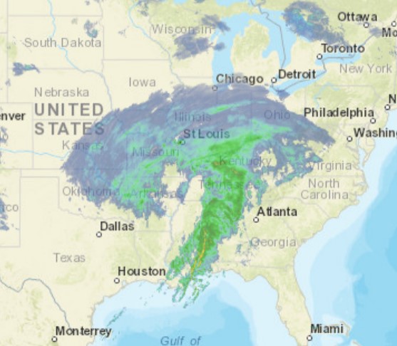
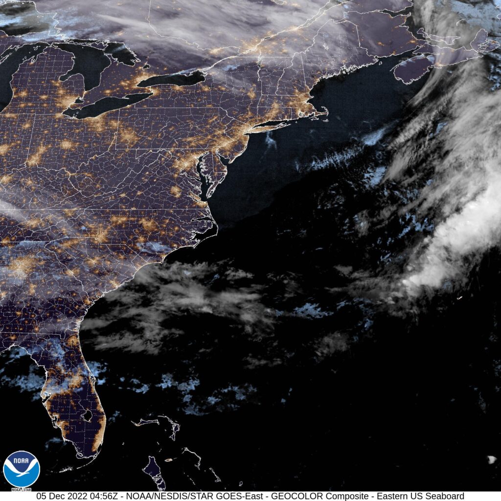
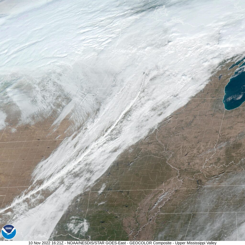
At 1154PM, ET, Indianapolis was reporting cloudy skies and a temperature of 37. It looked like a wet day was on its way for the Circle City, as a classically comma shaped storm system was moving from the lower Mississippi Valley, where it is currently centered over western Tennessee and shifting to the northeast. A wide shield of non convective precipitation runs from southern Ohio to eastern Oklahoma and was starting to shift north. There is light rain being reported in Shelbyville and moderate rain in Bloomington. The steady rain is expected to arrive soon, and will continue through the morning, at least, with snow expected to mix in by the early afternoon.
The feature is backed by a strong upper level trough, and will be chased by some very cold air and some northwesterly flow. The low after shifting out of the region will lag in the Canadian Maritimes, so the combination of latent moisture, flow off of Lake Michigan and cold air will lead to some persistent light snow in central Indiana through Thursday.
Tomorrow – Rain changing to snow, High 38, Low 34
Thursday – Overcast with scattered clouds, High 34, Low 23
TWC: Tomorrow – Snow during the morning will give way to lingering snow showers during the afternoon. High 37, Low 34
Thursday – Occasional snow showers. High 34, Low 26
AW: Tomorrow – Colder with wet snow, 4-8 in; breezy this morning; hazardous travel expected due to slick roads and heavy snowfall rates High 37, Low 33
Thursday – Cloudy with a couple of flurries, High 33, Low 26
NWS: Tomorrow – Snow before 1pm, then rain and snow likely. The snow could be heavy at times. High 38, Low 32
Thursday – Snow likely, mainly before 1pm. High 33, Low 27
WB: Tomorrow – Rain Likely. Snow mainly in the morning. Snow may be heavy at times in the morning. High 37, Low 33
Thursday – Cloudy. Snow likely in the morning. High 34, Low 25
WN: Tomorrow – Cloudy with heavy wintry mix High 34, Low 31
Thursday – Cloudy with light snow likely High 33, Low 30
CL: Tomorrow – Light Freezing rain, High 38, Low 31
Thursday – Heavy snow showers, High 33, Low 26
Guys, I’m concerned about Clime. Their temperatures are fine, but how they distill a daily forecast is strange. Anyways, I think the change to snow is going to be a little slower than the other outlets have indicated, but some parts of Indy are going to see half a foot of snow with this one. I captured the broader storm system, just because it is so perfect.