Lake Havasu City is probably one of the longest names for a a forecast site that we have. On the other hand, it’s position between Las Vegas and Yuma typically means a particularly brief forecast.
At 815AM, PT, Lake Havasu City was reporting a temperature of 84 degrees with fair skies. Dew points in the area were in the low 50s, though that isn’t terribly absurd for this time of the year, with the monsoon active. Most of the wet weather is at elevation, and will continue to be so in the eastern part of Arizona.
An upper level trough is on its way into the northern Rockies, which will reorient the regional flow. Cooler, denser air will be angled off the Pacific towards Lake Havasu City, and will have a difficult time reaching the area. Dew points are expected to drop, and the threat for clouds or spotty rain showers will disappear with the feature’s arrival.
Tomorrow – Mostly sunny, High 98, Low 76
Friday – Sunny, High 100, Low 80
TWC: Tomorrow – Sunny skies. High 100, Low 79
Friday – A mainly sunny sky. High 102, Low 78
AW: Tomorrow – Plenty of sun High 99, Low 79
Friday – Plenty of sun High 102, Low 77
NWS: Tomorrow – Sunny High 96, Low 80
Friday – Sunny, High 97, Low 79
WB: Tomorrow – Sunny, High 99, Low 77
Friday – Sunny, High 100, Low 78
WN: Tomorrow – Sunny, High 101, Low 79
Friday – Sunny, High 103, Low 78
CLI: Tomorrow – Sunny, High 100, Low 79
Friday – Sunny, High 102, Low 79
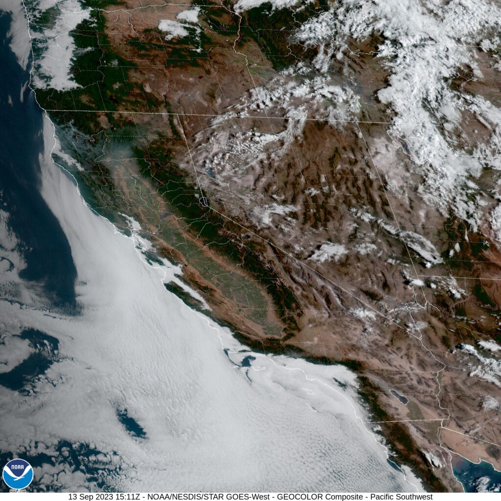
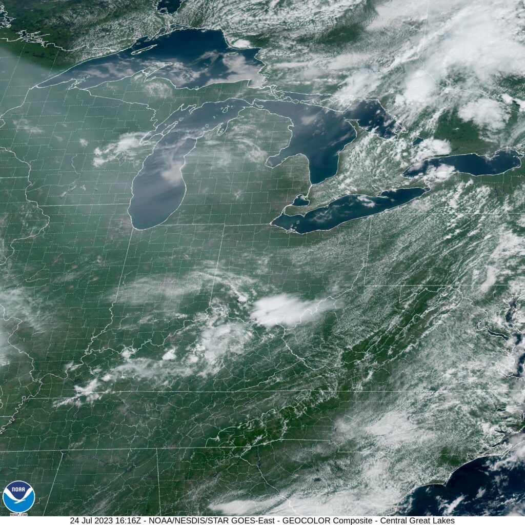
A little variety to the forecast in Lake Havasu City. I’m a little surprised that this is how it shook out. Satellite is clear in California, and getting clearer in Arizona.