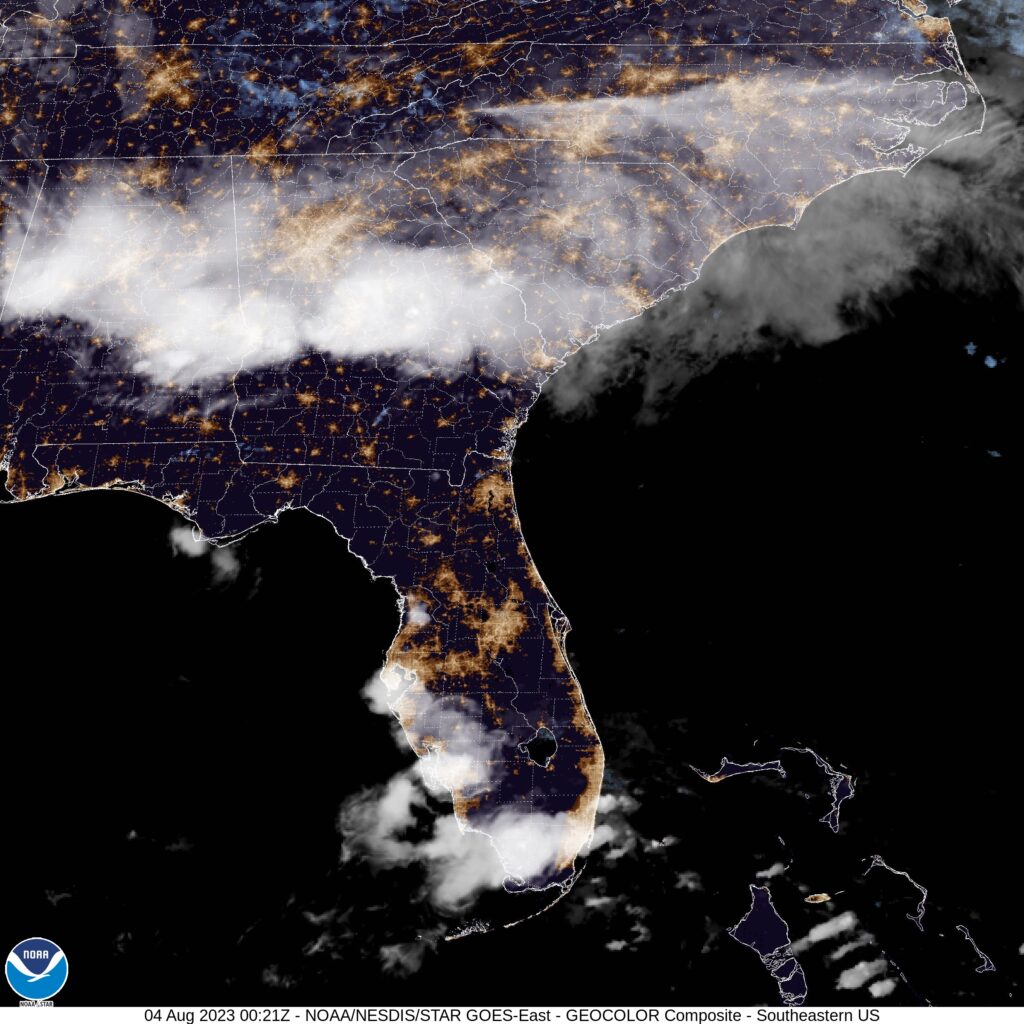
We’re setting forth for Orlando for our forecast today, home, as you all know, to many of the nation’s largest tourist venues. Florida can be unbearable this time of year, but it’s still summer, and people need vacations!
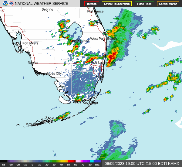
At 753PM, ET, Orlando was reporting a temperature of 85 degrees with clear skies. Thunderstorm activity is starting to peter out as the sun goes down, but is expected to reemerge in the morning. Sea breezes are the primary instigator for thunderstorm activity lately in Florida. The trade winds are stronger than the Gulf breeze, and the storms, as today, have been drifting west towards the Gulf through the day.
The pattern in the southeast is pretty stable. There is a trough in the north east with weak flow through it and a ridge in the Plains. Tropical intrigue has been further north than is typical this early in the season, and the weak trough is enough to have driven activity up into the North Atlantic. Trade activity is expected to remain the only significant pattern in Florida, with isolated thunderstorms tomorrow and Saturday in Orlando. A surface trough meandering into Georgia may invigorate the diurnal thunderstorms
Tomorrow – Isolated thunderstorms, High 94, Low 73
Saturday – Scattered showers with isolated thunderstorms, High 94, Low 74
TWC: Tomorrow – Sunshine and some clouds. A stray shower or thunderstorm is possible High 94, Low 75
Saturday – Scattered showers and thunderstorms. High 90, Low 77
AW: Tomorrow – Sunshine mixing with some clouds with a thunderstorm in the afternoon High 93, Low 75
Saturday – Sun and areas of high clouds in the morning followed by considerable cloudiness with a stray thunderstorm High 95, Low 77
NWS: A 30 percent chance of showers and thunderstorms after 2pm. High 93, Low 74
Saturday – Showers likely and possibly a thunderstorm. Mostly sunny, High 93, Low 77
WB: Tomorrow – Partly sunny. A chance of afternoon showers and thunderstorms, High 91, Low 78
Saturday – Partly sunny with showers likely and chance of thunderstorms, High 90, Low 78
WN: Tomorrow – Partly cloudy with chance of storms, High 93, Low 74
Saturday – Partly cloudy with showers and chance of storms, High 93, Low 77
CLI: Tomorrow – Light rain showers High 92, Low 76
Saturday – Thunderstorm High 91, Low 77
Summer time in Florida. Thunder and lightning just go with the territory. At least the tropics aren’t quite threatening yet.