Canton is the home of the football hall of fame. It isn’t football season, but I don’t know a lot else about Canton.
At 1051PM, ET, Canton was reporting a temperature of 60 degrees with fair skies. High pressure is smothering the eastern two thirds of the country, and a nice dry, warm launch to spring has seized Ohio and the Great Lakes at large.
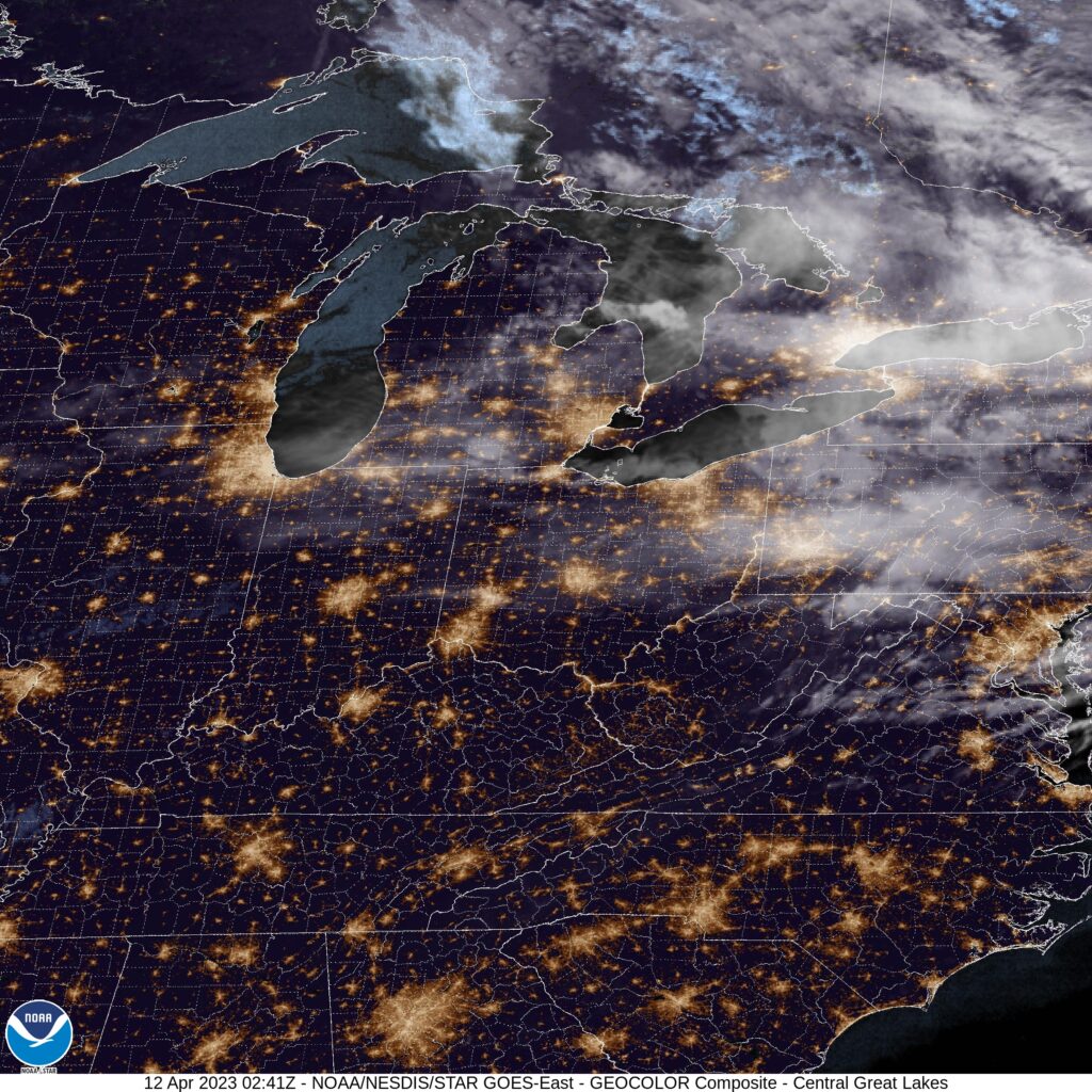
Satellite shows the greatest concentration of cloud cover spreading into the Appalachians of Pennsylvania and New York, thanks to the exit region of a jet sliding into New England. There are some streaming clouds over Ohio that may help prevent temperatures from plummeting overnight. Non tropical low pressure rising out of the Gulf will bring another smattering of clouds later in the week.
Tomorrow – Mostly sunny, High 76, Low 50
Thursday – Sunny, High 77, Low 52
TWC: Tomorrow – Abundant sunshine. High 77, Low 53
Thursday – Mainly sunny. Mainly sunny, High 79, Low 51
AW: Tomorrow – Partly sunny and very warm; breezy in the afternoon; dry and breezy conditions can lead to an elevated fire risk High 78, Low 53
Thursday – Mostly sunny and very warm High 78, Low 52
NWS: Tomorrow – Sunny High 78, Low 52
Thursday – Sunny High 78, Low 51
WB: Tomorrow – Partly cloudy, High 74, Low 53
Thursday – Sunny, High 76, Low 52
WN: Tomorrow – Mostly sunny, High 75, Low 52
Thursday – Sunny, High 80, Low 51
CLI: Tomorrow – Sunny, High 75, Low 54
Thursday – Sunny, High 79, Low 52
It’s going to be a battle of temperatures in what should be a pretty good forecast. Satellite is fairly quiet.