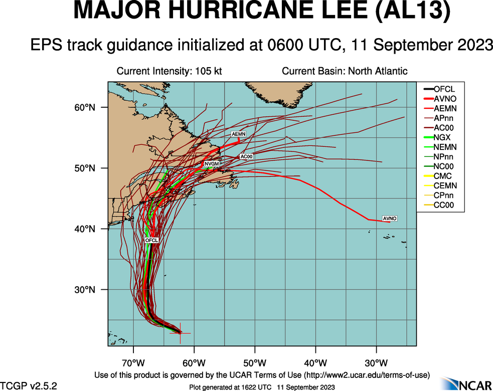
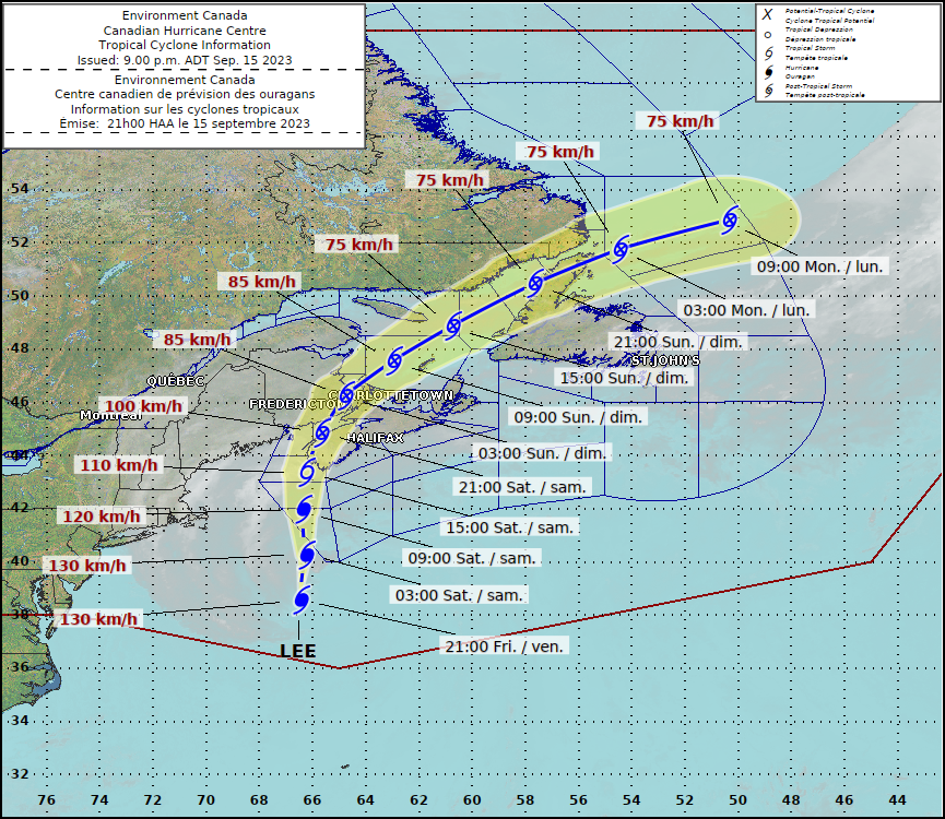
There has been a little bit of positive news from the Atlantic, at least for Stateside interests. The track for Lee has turned a little bit to the right, away from New England and away from the Bay of Fundy, where it could have caused real problems. Instead, the weaker Tropical Storm Lee will land in southwestern Nova Scotia.
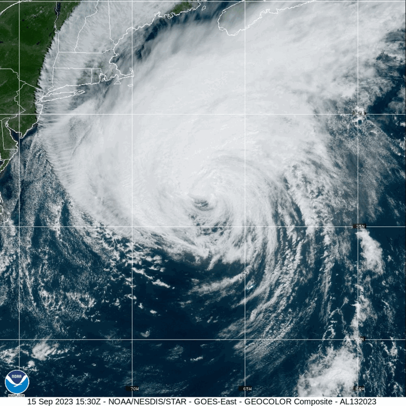
Surge and wind threats are lessened for the New England coast, and I’m not nearly as worried about amplified storm surge in New Brunswick, but tropical storm force winds are still going to be an issue for this area, even for parts of down-east Maine, which will get lashed by rain and tropical storm force winds, but the threat, at least in the States, will not be as severe or widespread.
Tropical storm force winds are still anticipated in the southern part of Nova Scotia and parts of coastal New Brunswick, but again, Lee is weakening, and it won’t be a hurricane making landfall in the Canadian Maritimes. The storm will make landfall around Yarmouth, Nova Scotia tomorrow morning, around 8am, CT, or 10 Atlantic time.
It’s been a long wait, and fortunately, Lee is looking like he showed his worst in the open ocean, and a bullet was almost dodged.