Worcester, Massachusetts

Wow! Another forecast! And every single part of this city name is really tough to spell!

AT 354PM, ET, Worcester was reporting a temperature of 42 with fair skies. there were a few stray clouds across New England, but high pressure over the region ensures that they won’t amount to much.
The ridge is angled north and south along he Appalachians, and will be easily moved by a cold font appended to a deep area of low pressure over Hudson Bay. The boundary will sweep in fairly early in the day on Friday, leaving a low overcast day marked by a bit of light rain throughout the day.
Tomorrow – Mostly sunny, High 48, Low 26
Friday – Overcast with rain at times, High 54, Low 36

TWC: Tomorrow – Generally sunny despite a few afternoon clouds. High 51, Low 28
Friday Cloudy (early rain).,High 59, Low 39

AW: Tomorrow – Sunshine mixing with some clouds High 50, Low 27
Friday – Variable cloudiness High 56, Low 38

NWS: Tomorrow – Sunny, High 51, Low 28
Friday – A slight chance of showers after 1pm. Mostly cloudy, High 58, Low 39

WB: Tomorrow – Sunny, High 49, Low 27
Friday – Mostly cloudy, High 7, Low 38

WN: Tomorrow – Mostly sunny, High 51, Low 29
Friday – Mostly cloudy with isolated showers, High 58, Low 39

FIO: Tomorrow – Mostly cloudy starting in the afternoon. High 52, Low 30
Friday – Overcast throughout the day. High 56, Low 42

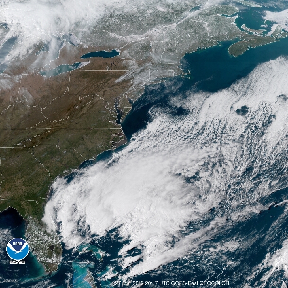
Look how empty this satellite is! Unfortunately, there will be a bit of overcast on the way. Whether or not that includes rain remains to be seen.

Modesto, California

Two forecasts in a day? I find that the only way this makes sense is to hit both sides of the country.

At 953PM, PT, Modesto was reporting a temperature of 61 degrees with overcast skies. There was a little bit of rain over San Francisco, and dew points were nosing into the low 50s. If there is any clearing tonight, low lying areas are likely to fog in.
A persistent area of low pressure over the Pacific is going to continue to generate a pipeline of moisture into northern California. Snow is expected in the mountains, with rain a persistent matter of fact for Modesto for the next two days. There really won’t be a change to the pattern, as this trough won’t progress, but rather dampen and fade away, making Thursday a bit less rainy.
Tomorrow – Rain, High 66, low 54
Thursday – Scattered showers, becoming less widespread, High 66, Low 48

TWC: Tomorrow – Rain showers in the morning with numerous thunderstorms developing in the afternoon. High 66, Low 55
Thursday – Partly cloudy skies during the morning hours will give way to occasional showers in the afternoon. High 64, Low 47

AW: Tomorrow – Cloudy, spotty showers; cool High 67, Low 54
Thursday – A morning shower; otherwise, times of clouds and sun; cool High 65, Low 46

NWS: Tomorrow – A chance of showers and thunderstorms, then showers and possibly a thunderstorm after noon. High 67, Low 55
Thursday – A chance of showers, then showers likely and possibly a thunderstorm after noon. Partly sunny High 65, Low 48

WB: Tomorrow – A chance of rain showers and a slight chance of thunderstorms in the morning then rain showers and a slight chance of thunderstorms in the afternoon. High 65, Low 55
Thursday – Mostly cloudy. A chance of rain showers in the morning then rain showers likely and a slight chance of thunderstorms in the afternoon. High 63, Low 48

WN: Tomorrow – Mostly cloudy with scattered showers, High 67, Low 55
Thursday – Mostly cloudy with light showers, High 67, Low 55

FIO: Tomorrow – Light rain in the afternoon. High 64, Low 51
Thursday – Partly cloudy starting in the morning, continuing until night. High 64, Low 46

Everyone seems to be on the same page, or would be, if Weathebug hadn’t filled it all up. Radar is active in the North Bay!

Morgantown, West Virginia

Hi! Morgantown is the home of the University of West Virginia, but is actually way closer to Pittsburgh than any of the other population centers of West Virginia. Does that influence the weather in any way? Almost certainly not!

At 1253PM, Morgantown was reporting clear skies and a temperature of 39 degrees. Dry air was pushing into the area as a strong ridge of high pressure was settling into the Great Lakes. There was still a tumultuous pattern at the upper levels, but it was not reflected at the surface.
The machinations at the very top of the continent will ultimately bear watching for most of the northern part of the country. An area of low pressure developing in the Northwest Territories, headed into Nunavut will dangle a cold front into the Great Lakes through midweek, headed towards the Appalachians for the end of the week. It will be motivated by a surprisingly strident batch of cold air, though most of the local moisture will come from the Lakes. All this is to say the boundary, despite the cold air, will be slow moving and not terribly rainy. Morgantown should be in the clear until Friday.
Tomorrow – Sunny, High 55, Low 25
Thursday – Increasing clouds, but warmer, High 67, low 41

TWC: Tomorrow – Partly cloudy skies. High 57, Low 26
Thursday – Mainly cloudy. High 64, Low 39

AW: Tomorrow – Plenty of sun; milder High 58, Low 27
Thursday – Partly sunny; breezy, mild High 67, Low 38

NWS: Tomorrow – Sunny, High 56, low 27
Thursday – A slight chance of showers after 2pm. Mostly sunny, High 66, Low 36

WB: Tomorrow – Sunny, High 55, Low 27
Thursday – Partly cloudy, A slight chance of showers in the afternoon, high 64, Low 39

WN: Tomorrow – Mostly sunny, High 57, Low 27
Thursday – Partly cloudy with isolated showers, High 66, Low 36

FIO: Tomorrow – Partly cloudy starting in the morning, continuing until afternoon.High 59, Low 30
Thursday – Mostly cloudy starting in the morning. High 65, Low 41

Even if it does rain, that’s a pretty great forecast. Tranquil today.

The Hopeless Optimist

I thought we had turned a corner. On the winter, if there is a shadow of a doubt, leave precipitation in the forecast. On the summer, it’s easier to dodge rain drops even if it looks like storms are looming on a given day. Alas, I thought Lafayette was in the clear over this weekend with a short wave trough approaching. I was the only one who felt that way, but I felt really good about it. Of course, you know how this ends. It ends with Lafayette wet. Victoria-Weather could have secured victory if those .06 inches of rain hadn’t fallen, but instead, it was The Weather Channel and WeatherNation who split honors.
Actuals: Saturday, High 53, low 19
Sunday – .06 inches of rain, High 53, low 38

Grade: B-C

Video Round up (And the forecaster of the Month)

While we’ve been knocked out of commission and also trying to get caught up with life, the weather has gone on unabated. While most of the country has been bouncing back from a grueling winter, our first stop takes us to Nebraska and South Dakota, which are undergoing unprecedented flooding, thanks primarily to snow melt, which has led to dam breaches, particularly on the Missouri, Elkhorn and Niobara Rivers.

These floods pale in comparison, somehow, and amazingly, to the catastrophic landfall of a cyclone near Beira, Mozambique. Cyclone Idai, all told will end up killing thousands in Mozambique, Zimbabwe and Malawi. Part of the problem, as is often the case with disasters in the third world is a failure of infrastructure, but another is that Mozambique has a natural barrier – Madagascar – that usually saves the country, and the region was less experienced with such catastrophes. Idai brought its strongest winds to Beira, a city of 300,000, then meandered through southeast Africa, with floods sweeping inland areas, driving up the death toll.

After all that, it’s tough to move to a different, more positive tale, but here it is” We were able to maintain our records, even if we weren’t able to keep our site up and running. We can say for sure that Accuweather had the top month back in February, which seems wild, since A) I can’t believe we are still thinking about February and B) they did it without much success on winning individual forecasts. Consistency! Congrats to Accuweather

Month wins
Weatherbug2.58
WeatherNation1.58
Victoria-Weather1
Forecast.io1
Accuweather0.33
The Weather Channel0.25
National Weather Service0.25
OutletMonth winsyear wins
Weatherbug2.583.58
Victoria-Weather13
Forecast.io13
National Weather Service0.252.25
WeatherNation1.581.58
Accuweather0.331.33
The Weather Channel0.251.25

Now you can check on us too!

Up until now, we’ve had to rely on our RSS feed to put together out verifications, but the first post back was for Fayetteville, North Carolina. It had been written before The Incident, so it was actually valid for the days before it even posted, but that’s neither here nor there. The forecast, then was for Monday the 11th and Tuesday the 12th. I’m happy to say the weather in North Carolina was fine, because this post has already required quite a bit of explanation. I’ll just conclude by saying that WeatherNation had the win for the first forecast back from oblivion.
Actuals: Monday, the 11th, High 72, Low 54
Tuesday the 12th, High 64, Low 39

Grade: B-C

Lafayette, Indiana

Yes, it’s tournament time, so there is no better time than to salute my alma mater, Purdue University. They’re a 3 seed in the Big Dance, and nearly everyone will be indoors watching basketball in their home city of West Lafayette, Indiana, but we can give them a forecast anyways, I guess.

At 254PM, ET, Lafayette was reporting clear skies with a temperature of 47 degrees and brisk north winds that belied the high pressure stably in place over the region. Satellite gave a clue to the blustery conditions, as Indiana was clearly in the wash of a strong system moving through the Eastern Seaboard this afternoon.
High pressure will remain in place across the Great Lakes tonight and through the day tomorrow, but the pattern aloft is moderately active, particularly in the Plains. A weak low will be bolstered by a sharp trough with weak flow through it in the Plains will start to approach the Hoosier State. Rain won’t reach Lafayette by the time the weekend ends, however some clouds will likely start to build.
Tomorrow – Mostly sunny, High 52, Low 25
Sunday – Increasing clouds late, other wise warmer, High 54, Low 37

TWC: Tomorrow – Mostly clear. High 51, Low 23
Sunday – Cloudy with occasional showers for the afternoon. High 51, Low 37

AW: Tomorrow – Mostly sunny; chilly High 50, Low 24
Sunday – On-and-off rain and drizzle High 60, Low 35

NWS: Tomorrow – Sunny High 53, Low 28
Sunday – Rain, mainly after 1pm. High 54, Low 40

WB: Tomorrow – Sunny, High 49, Low 26
Sunday – Rain, High 50, Low 37

WN: Tomorrow – Sunny, High 53, Low 25
Sunday – Mostly cloudy with light rain, High 54, Low 40

FIO: Tomorrow – Partly cloudy starting in the evening. High 54, Low 24
Sunday – Rain in the morning and evening. High 56, Low 40

Well, I’m not sure why everyone else has rain getting there so early. Please stay with us as we see just how wrong I can be! Here is satellite, showing that “wash” over Lafayette that I was talking about,

Brighter Days

In our last forecast before “The Incident” we looked at Riverside, California, which was in the midst of a string of uncharacteristically rainy days as we approached the weekend. Ah, but what an allegory for our site, no? The good news was, things were starting to warm up as the next week began even if there was a little bit of light rain in the area. And now, with the website back up and running, we can see brighter days on the horizon as well! That said, the Weather Service had the top forecast for the day. Oh well.
Sunday March 10th, High 59, Low 46
Monday, March 11th, Rain reported, not measured High 64, Low 41

Grade: B-C

Fayetteville, North Carolina to Waterloo, Iowa

Well, now we have all types of Victoria-Weather posts ready to roll on the reconstituted site, but our archives are still toast. Oh well, the weather continues on, as will we, on this two day journey from North Carolina to Iowa. It is 1090 miles between the two towns, and though this trip is approximately 2 even days, we’ll go a little bit further on day two. The first day will conclude after 519 miles on the road. all at a pace of 64.9mph. I think the weather is going to be pretty great, so let’s see if we can’t make even better time.

DAY ONE (Monday)
Like I said, it looks like we don’t have a whole lot to be concerned with on the first day on the road. High pressure is taking over the country. Sweeping the nation, really. There may be some haze and what not as we pass through West Virginia, just because of moisture in the valleys, but it will only serve to make things more picturesque. We’ll make it to Beavercreek, just outside of Dayton, Ohio.

DAY TWO (Tuesday)
There is a weak little perturbation expected to roll out of the central Rockies and cruise through the central Plains. It’s not going to be very strong, but it’s miniature stature means it will be fairly unpredictable. It will only reach southern Iowa by the time we finish our day, but there is enough uncertainty that I might just suggest to prepare for a few wet flakes anywhere from the Quad Cities to Waterloo. Slow down in Cedar Rapids, they have cameras.

OLYMPUS DIGITAL CAMERA

We can still verify!

Thanks to our RSS feed, which apparently doesn’t get purged just because the content of the entire website is obliterated, we still know the contents of our post for Ocean City New Jersey, before the big calamity. The good news for us is that the forecast went very well for us, as Victoria-Weather claimed forecast supremacy, even as we fumbled with our own very existence. A quick wave moved through town and lead to a bit of snow, thanks in large part to temperatures that were cooler than expected…. by everyone but Victoria-Weather.
Actuals: Thursday, March 7th, High 38, Low 12
Friday – .07 inches of precipitation, reported as snow, High 41, Low 19

Grade: C- D