
Western Washington is our destination for today’s forecast. Not Puget Sound though, but rather an entirely different climate on the east side of the Cascades.
At 1155AM, PT, Wenatchee was reporting fair skies with a temperature of 49 degrees. The jet was nearly directly overhead, and was bringing some striated high clouds to the Pacific Northwest in general, but specifically some fog and light precipitation at the higher terrain of the Cascades. This will dissipate, and aside from the continued high clouds, Wenatchee will remain in the clear through Thursday.
The next feature out of the Gulf of Alaska will arrive early on Friday and bring a swift bout of showers to the region, some of which will likely snake its way to Wenatchee, even as most gets wasted in the Cascades. Expect a gloomy end to the week, thanks to the persistent clouds on Friday.
Tomorrow – Mostly sunny, High 51, Low 31
Friday – Cloudy, chances of rain through the day, High 41, Low 32
TWC: Tomorrow – A few passing clouds, otherwise generally sunny. High 53, Low 33
Friday – Periods of rain and snow. High 40, Low 35
AW Tomorrow – Mostly sunny and chilly High 49, Low 31
Friday – Colder with snow beginning in the late morning, accumulating an inch or two, Low 33
NWS: Tomorrow – Widespread frost before 8am. Otherwise, sunny High 53, Low 33
Friday – A chance of snow before 8am, then rain and snow. Snow level 800 feet High 35, Low 33
WB: Tomorrow – Sunny, Widespread frost in the morning. High 51, Low 35
Friday – Snow. Moderate snow acumulations possible. Colder. High 38, Low 35
WN: Tomorrow – Partly cloudy with widespread frost, High 53, Low 32
Friday -Mostly cloudy with light wintry mix, High 36, Low 31
FIO: Tomorrow – Clear throughout the day. High 54, Low 31
Friday – Rain throughout the day. High 43, Low 33
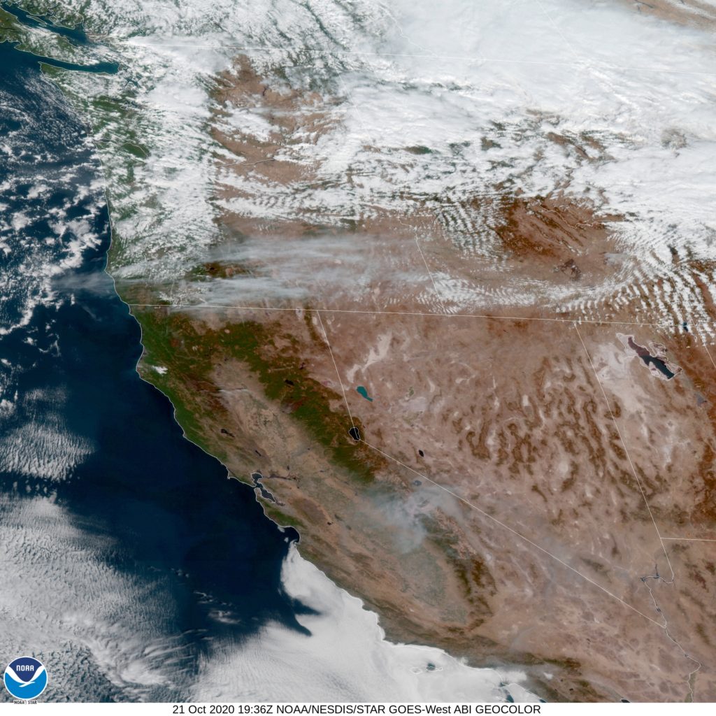
It looks like a pretty grim day on the eastern slope of the Cascades on Friday. Here is the satellite with clouds streaming across the PAcific Northwest associated with the jet.
Comment (1)