Late September in Salinas is apparently perfect. Our forecast featured sunshine, highs in the low 70s and crisp mornings in the upper 50s. Forecasts along the coast are always a bit topsy turvy, so even with good weather, the forecasts weren’t extraordinary. The Weather Channel did earn victory. Actuals: September 24th, High 73, Low 58 September 25th, High 73, Low 54
I-40 is an important east to west corridor here in the United States, and we get reminded of that time and again. For this trek, we’ll take 3 1/2 days to head for Monterey Bay. Since we’ll be on the freeway most of the journey, we will make the drive at a pace of 69.4mph. That means our 2012 mile journey will be broken into chunks of about 555 miles a day. Respectable!
DAY ONE (Friday)
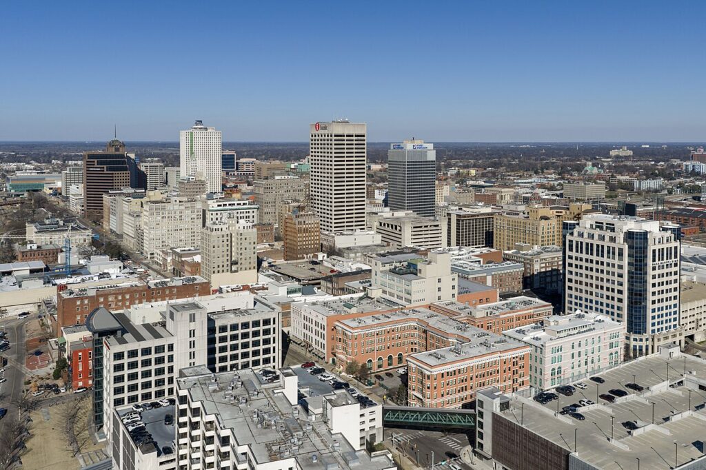
Memphis, Tennessee – via Wikipedia
High pressure remains in place over the Tennessee Value, and is going to stay there through tomorrow. A lee trough is going to start churning some navigational trouble for drivers on I-40 by late in the day tomorrow. At the southern base of the trough, expect some showers and maybe a storm to fire along the dry line from western Kansas into the Panhandle. This means that we could see a spot of rain anywhere from Oklahoma City west to Clinton, Oklahoma, where our day will conclude.
DAY TWO (Saturday) Showers will linger overnight in Clinton, and there will be some residual clouds, mist and fog west to the Texas Panhandle, and even as far west as Shamrock, but from then on, we should be easy breezy. Amarillo to Albuquerque will be in the clear, and we will make it west to Prewitt, New Mexico, and cease driving for the day.
DAY THREE (Sunday) This is going to be a weird thing to call out driving through Arizona, but we need to mind the tropics for this stage of the journey. Hurricane Polo, off the Mexican coast, is prognosticated to cycle back towards the Baja Peninsula. As it does that, expect the monsoonal flow to be enriched on Sunday, with an increased chance for showers around Williams, Arizona, south of the Grand Canyon, though the real threat will likely pick up after we are in California. The day will end in the desert east of Barstow, in Newberry Springs.
DAY FOUR Polo is going to be a problem, but not for us. We can continue on westward towards the coast, unbothered by things like “weather”. Monterey Bay will be as fabulous as it ever is upon our long awaited arrival.
Hey there, Salinas, what’s it like in your fine city?
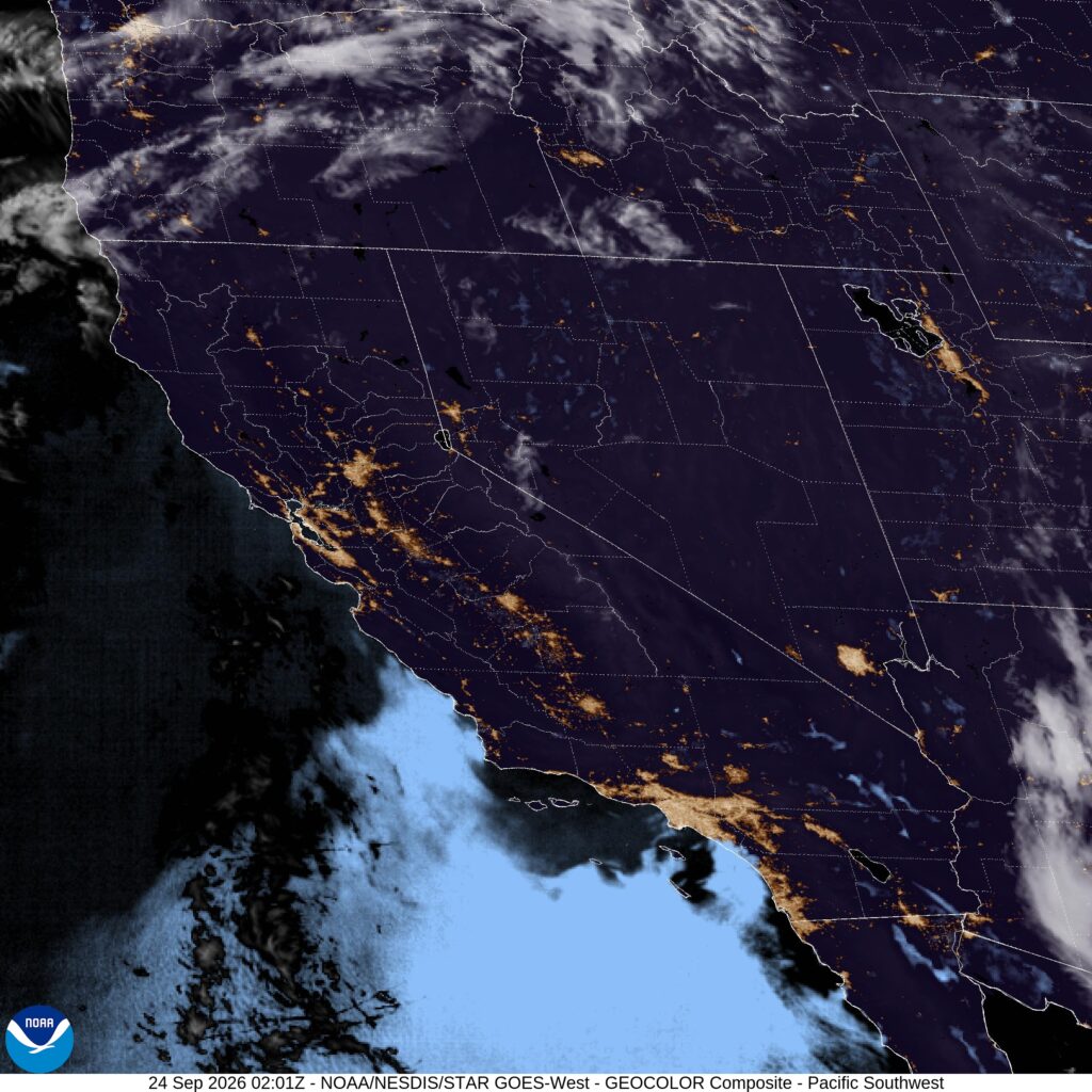
At 653PM, PT, Salinas was reporting a temperature of 57 degrees and clear skies. The temperature matched the dew point, and fog will be creeping in, and the marine layer was creeping up the central Coast. While typical thermal troughing in the Central Valley is expected to continue, along with a surface ridge on the coast, there is a system moving into the Pacific Northwest, arriving on the Oregon Coast tomorrow evening. This will amplify southerly flow around Salinas, which will provide a more reliable source for morning clouds on Friday morning as well. Tomorrow – Morning fog and clouds, High 77, Low 55 Friday – Scattered early clouds, High 75, Low 58
TWC: Tomorrow – Intervals of clouds and sunshine. High 77, Low 57 Friday – Partly cloudy skies High 73, Low 53
AW: Tomorrow – Mostly sunny and nice High 79, Low 56 Friday – Increasing amounts of sunshine High 73, Low 56
NWS: Tomorrow – Mostly sunny, High 77, Low 59 Friday – Partly sunny, then gradually becoming sunny, High 72, Low 57
WB: Tomorrow – Partly cloudy in the morning then becoming sunny. High 76, Low 59 Friday – Mostly cloudy in the morning then becoming sunny. High 73, Low 57
WN: Tomorrow – Mostly sunny, High 77, Low 59 Friday – Mostly sunny, High 72, Low 57
CLI: Tomorrow – Sunny, High 74, Low 55 Friday – Sunny, High 72, Low 56
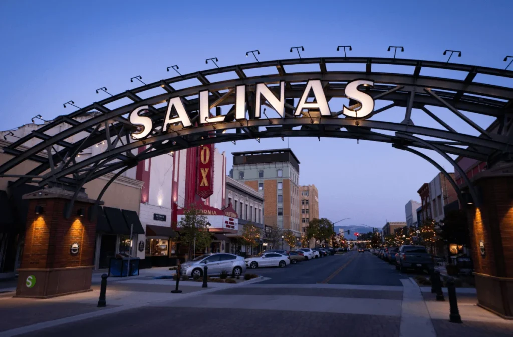
It’s 1,000 miles away from here, but Salinas, you look so pretty.