As I noted in our discussion of the massive storm that came through last weekend, the region had aready been preconditioned, and was chilly, particularly for this part of the world. We saw that in the forecast for Rome, Georgia, which we issued the weekend before, and saw temperatures dive into the 20s, which is unusual in Georgia! Generally, though, there were a couple of times, the high temperature on Monday the 19th, and especially the low temperature on Tuesday the 20th, that were warmer than expected by a few degrees, Accuweather was the warmest forecaster on those two times, and came through with the win. Sidebar: I’m just now realizing our last two verifications were for Florence and Rome. How continental! Actuals: January 19th, High 50, Low 27 January 20th, High 46, Low 27
It’s a January road trip through Appalachia. Perhaps not as beautiful as the summer or fall, and maybe even a bit more treacherous, but… .well, I guess I’m not doing a good job of selling this trip. It will take us one long day to cover the 664 miles at a pace of 64.7mph.
Rome, Georgia By Thomson200 – Own work, CC0, https://commons.wikimedia.org/w/index.php?curid=63993488
There is a weak little wave moving into the Great Lakes, dangling a fairly inefficient cold front through the Mississippi Valley tonight, which is going to be arriving in the Appalachians tomorrow. The precipitation will be more likely on the western faces of the terrain, and for our drive from Rome to about Beckley, West Virginia, when the chance for snow will filter back in. The snow will persist through the Mountaineer State, and as we arrive in Pittsburgh – yep, snow there too. It won’t be Lake enhanced, and it is going to be very cold, so just expect some fluff.
We are sadly only going to be spending our time in Rome, Georgia, and not Rome, Italy. It would be a bit warmer in Italy.
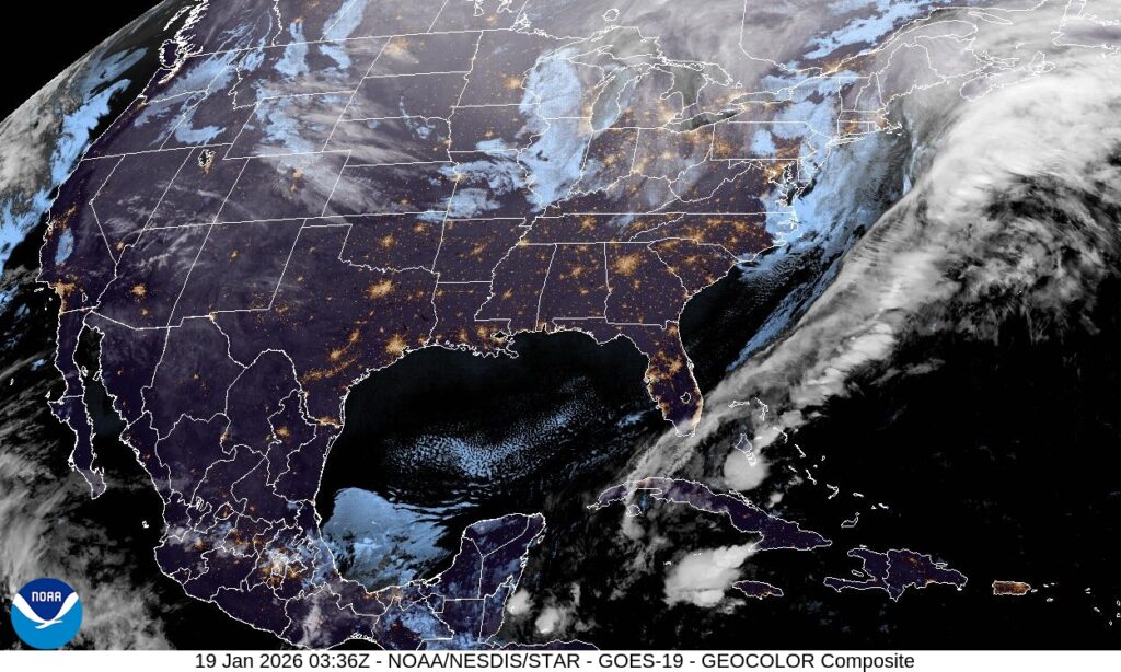
At 1053PM, ET, Rome was reporting an unusually brisk 28 degrees with clear skies. Throughout the region, skies were clear and temperatures were below freezing as a jet trough dove deep into the Southeast. An occluded area of low pressure sat over the Great Lakes, with a cold front emanating from a secondary (but as is usually the case, stronger) area of low pressure off the southeast coast of Nova Scotia dangled a surface cold front that had already cleared the Florida Peninsula. There were frost and freeze warnings as far south as Orlando. The upper level structure that is bringing the cold air to the southeast looks to be pretty entrenched, and a surface area of high pressure is unlikely to move. Calm winds and clear nights suggest that frost is something that residents of Rome should get accustomed to for the next couple of days, at least. Tomorrow – Sunny, High 47, Low 25 Tuesday – Sunny, High 45, Low 21
TWC: Tomorrow – Sunny. High 50, Low 26 Tuesday – Sunny. High 47, Low 22
AW: Tomorrow – Sunny High 50, Low 26 Tuesday – Plenty of sunshine High 46, Low 22
NWS: Tomorrow – Sunny, High 46, Low 25 Tuesday – Sunny, High 43, Low 20
WB: Tomorrow – Sunny, High 43, Low 28 Tuesday – Sunny, High 42, Low 25
WN: Tomorrow – Sunny, High 46, Low 25 Tuesday – Mostly sunny, High 43, Low 20
CLI: Tomorrow – Clear, High 47, Low 25 Tuesday – Sunny, High 46, Low 21
This is dangerously cold for this part of the world, where heating systems aren’t as robust as they are further to the north. Brr! At least the sun will be out in the day time, right?