We looked at Poughkeepsie, New York at the beginning of the week. The town was in a clear patch between two systems. The northern system was robbed of moisture by the southern feature, and everyone but the Weather Channel and the GFS believed that Poughkeepsie would see dry skies, and everyone but the Weather Channel and the GFS were correct. It was dry in the atmosphere on Tuesday, which led to a wider temperature delta than was expected. Scores weren’t great, but Accuweather earned a win. Actuals: Tuesday – High 70, Low 29 Wednesday – High 48, Low 35
Off to the races we go, with a very I-95 dependent journey north along the east coast. It will take two days, the first longer than the second, to cover the 909 miles between our two cities. That will equate to a pace of 64mph, which is probably going to be slowed by traffic. Our goal for night one is 514 miles, which is more than halfway there. Wait…. Does this route go through New Jersey?
DAY ONE (Wednesday)
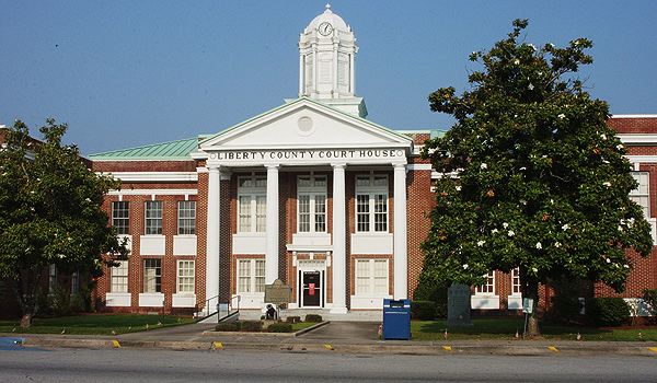
Hinesville, Georgia
A rainy area of low pressure that’s been bothering the southeast is finally off shore, and anyone driving the region tomorrow will enjoy pleasant conditions across the coastal Carolinas. We will pass into Virginia, and end the day on the north side of Richmond, in Ashland.
DAY TWO (Thursday) A weak wave is going to spin out of eastern Canada, into New England. There shouldn’t be enough moisture at the surface to impact the roads, but from about Baltimore onwards, expect an uptick in wind and a bit more overcast. It will be at the gloomiest as we reach Poughkeepsie.
Poughkeepsie is definitely a candidate for the Geography Spelling Bee competition that I am starting. I am guessing that this forecast will come easier than the correct spelling and pronunciation of the town.
At 1053AM, ET, Poughkeepsie was reporting a temperature of 53 degrees with clear skies. It was warm across downstate New York and the surrounding areas, despite a northwest breeze, thanks to the sun this morning, and a split jet which is producing inclement weather to the south, but barricading cold air to the north. The wave to the north is bearing a weak area of low pressure through eastern Canada. the associated cool front will sweep through New England noiselessly tomorrow in the early afternoon, after which an area of high pressure will slide into the mid-Atlantic. as a result, expect a tame, pleasant albeit cooler middle of the week in Poughkeepsie. Tomorrow – Scattered clouds midday, High 65, low 37 Wednesday – Sunny and cooler, High 48, Low 35
TWC: Tomorrow – A mainly sunny sky. High 66, Low 33 Wednesday – Intervals of clouds and sunshine (Late rain). High 51, low 33
AW: Tomorrow – Mostly sunny, breezy and warm; elevated fire risk due to gusty winds and low humidity High 65, Low 31 Wednesday – Cooler with intervals of clouds and sunshine High 50, Low 33
NWS: Tomorrow – Sunny, High 66, Low 39 Wednesday – Mostly sunny, High 50, Low 32
WB: Tomorrow – Sunny. High 63, low 38 Wednesday – Partly sunny. Much cooler High 46, Low 38
WN: Tomorrow – Mostly sunny, High 66, Low 40 Wednesday – Partly cloudy, High 48, Low 34
CLI: Tomorrow – Sunny, High 66, Low 35 Wednesday – Partly cloudy, High 55, Low 31
The GFS is keeping a laggard band of precipitation behind the front that the main models have in place. The NAM doesn’t have much of anything, and given the system to the south, that seems more accurate. Sorry, Weather Channel. I don’t like your chances. I do like Weatherbug’s new user interface though! Very nice. Satellite shows a channel of sunny skies, right over Poughkeepsie,