The best they can get

It’s been a rough winter for snow fans across a great deal of the country. Sure, here at Victoria-Weather HQ, we have been buried in snow, with more on the way, but even just as far south as Des Moines or east in Indianapolis, the winter has been paltry. So the snow that was received in Indianapolis back at the end of January, while it only accumulated to 1-4″ of snow in the metro, it was the biggest storm they’d seen to date or since in many spots. Fortunately, my misgivings about Clime were for naught, as they tied for the top spot with the Weather Channel.
Actuals: January 25th, .73 inches of liquid in rain and snow, High 38, Low 32
January 26th, .11 inches of liquid in snow, High 32, Low 24

Grade: A-C

Lawrence, Kansas to Indianapolis, Indiana

The middle and southern part of the country has been battered of late, but at least we are moving to a calmer stretch. Holy smokes is it going to be cold, though. We’ll take 1 day to march across this icy terrain, from Lawrence to Indianapolis, covering 521 miles at a pace of 67mph. Even St. Louis can’t slow us down.

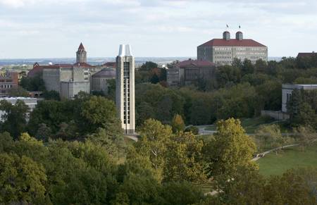
Lawrence, Kansas
Campus skyline #1-7: from JRP rooftop #8-34: sunrise, from Coop Elevator on Haskell Ave. 10-25-05 Credit: Doug Koch/KU University Relations # 06200_1 through _34

Cold air has built in behind a stormy, snowy system that moved through this week. There is some high pressure to the south, which is doing a good job of stifling moisture which is trying to reach a Clipper moving through the Canadian Prairies, and will head for the western Great Lakes as we get moving. I don’t trust Clippers moving through the cold to stay bound by where the models say it will snow. There isn’t much precipitable water with these, and the flakes fly even if there is no real moisture available. To that end, I suspect the last stretch, from the Illinois side of the Mississippi all the way to Indianapolis will feature some flakes. The steadier activity will be in Indy on our arrival.

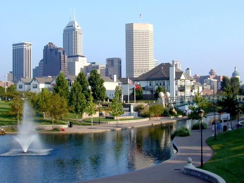
Indianapolis, Indiana