Please avoid large festivals in rural Nevada today
from Victoria-Weather

To give you an idea of the weather scenario we are in right now, I was just on a conference call with people from many parts of the country. One of the attendees from Texas was lamenting the triple digit heat that continues to boil Texans.
Here in Minnesota, I had to wear a light jacket this morning. Fall is coming, people. Eventually.
Update: Brr!
After we were looking forward to a hot couple of weeks for really most of the country, today, we can look at the outlook and see cooler air is on the horizon. Let’s hope that the cool down comes entirely at the hands of an advancing cold front and not Hurricane Lee. (I should note that it is NOT likely to be the result of Lee)

Lee, presently in the North Atlantic, already looking for a trip to the Eastern Seaboard, is a big, scary storm. He’s going to be a Cat 4 before all is said and done, and a Cat 5 is not out of the question. Fortunately, this is the forecast map for Saturday.
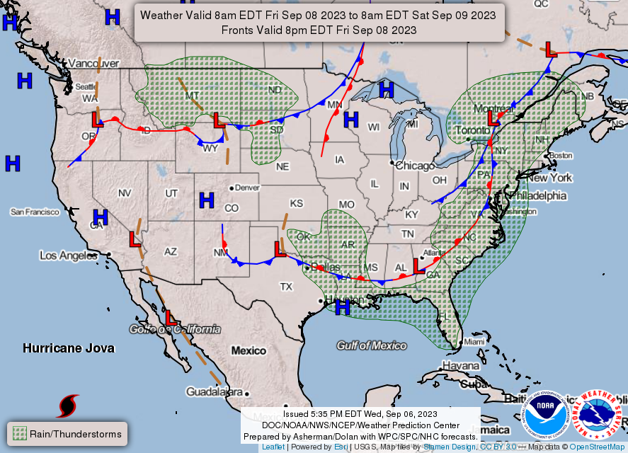
That coastal feature should be just enough to shunt Lee away from the coast. Remember that if you are lamenting the weekend rain out East this weekend.
We’ve spent some time looking at the temperature trends for September, including some outlooks for the temperature over the next few weeks. Also illustrative, though, is the severe weather outlook. Much cooler weather is coming behind the severe weather.

Additionally, with crops still in the ground, if things get cooler and clearer pretty quick, all that moisture will lead to some foggy mornings, further helping keep temperatures in check. It’s right around the corner.
Even the Duluth WFO is posting things like this about the heat.

Thunderstorms are coming to the area Tuesday night. Expect an abrupt end to the heat wave.
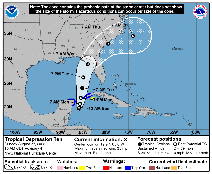
Idalia looks like she will make landfall tomorrow at about the spot that was expected before it even had a name. Initial model guidance wasn’t as aggressive on the storm’s intensification as the NHC was, so credit as always to the meteorologists, but here is the good news:
The Big Bend are of Florida is fairly sparsely populated. Storm surge, thanks to the geography of the region, will be quite high for Cedar Key north and westward, but there aren’t a lot of beachfront communities in the area. Not to say there aren’t any, but the most costly part of this storm will not be the surge, even though it will be impressive.
Instead, my biggest concern is the flash flooding that may come to places like Live Oak, Valdosta and Wenatchee. Sporadic tornadoes are also a big concern, as they usually are with landfalling hurricanes.
Idalia is a healthy storm, and will be memorable for those it impacts. The only reason this storm isn’t more fearsome is because it found the part of the Florida Coast that hasn’t been fully developed.
Franklin is a big beautiful storm, with a well developed eye that is mercifully spinning well away from most major interests, save for the air and sea interests of the North Atlantic. He is not getting much attention, because he isn’t going to make landfall anywhere, and will merely work to reroute aircraft and ships.
All that said, he is causing a trough in the mid-Atlantic to slow down, and the rain showers in the Virginias over the weekend dumped enough rain to cause some flash flooding over both states. As Franklin keeps moving, ultimately so will these showers. With luck, Idalia will also steer clear of the region.
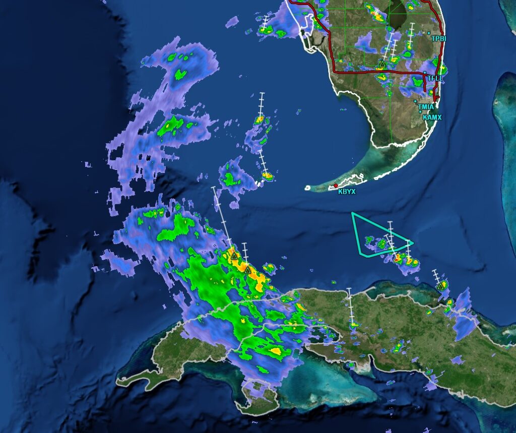
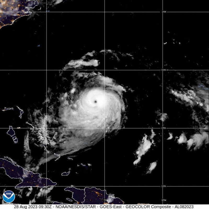
Idalia has formed off the Yucatan. There aren’t any major changes vs. what we were looking at yesterday, save for a little bit of acceleration. Expect the storm to landfall on Wednesday south of Tallahassee as a strong tropical storm.
UPDATE 9pm – The latest forecast from the NHC has Idalia landfalling at a Category 2 level. That seems a little high to me, but ultimately, what is most important is that the storms projected landfall is at a pretty low density part of the state. Let’s hope that’s how it ends up.
UPDATE 1115PM – No big changes to Idalia, but the threat for for tropical weather will cut off the inflow to the Midwest. Things should be drier mid to late week in the Mississippi Valley