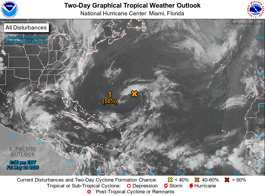
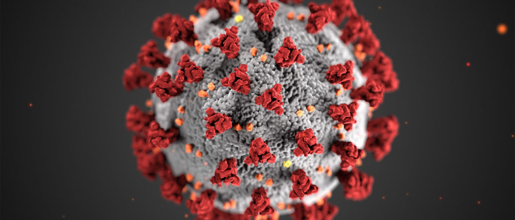
I don’t need to tell you that the the novel coronavirus, causing Covid-19, has put the nation at a standstill. One of the few rays of light from this strange state of affairs is the respect shown to the doctors and epidemiologists who are offering advice and instructions. As a meteorologist, I am envious of these scientists who have grabbed the attention of the public and the powers that be, and have incited action in the face of grave danger.
Granted, there are many people who reject the threat of the disease out of hand, as many are also quick to dismiss a severe weather warning, and it is for a similar reason. While the disease is much more lethal than the flu, the threat it will cause severe symptoms in any particular individual is almost astronomically small. The highest rate of infection in the world right now is in San Marino, a tiny principality embedded within Italy, and even there, the fraction of the population that has been confirmed as having the virus is less than 1%. Similarly, among those who contract the virus are said to have a death rate of 4%. These numbers are all very small.
The problem is that those numbers are all coming at the same time, especially if nothing is done about it. Having 4% of 1% of the population dying of this would still account for 120,000 people passing away after 3,000,000 people get sick. Those numbers would paralyze the medical system across the country. The threat to any one individual is small, but the threat to the system is very large.
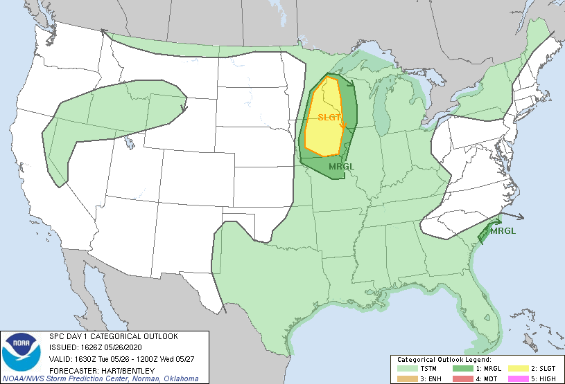
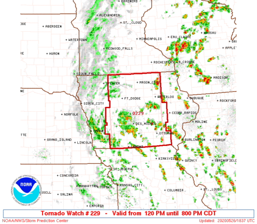
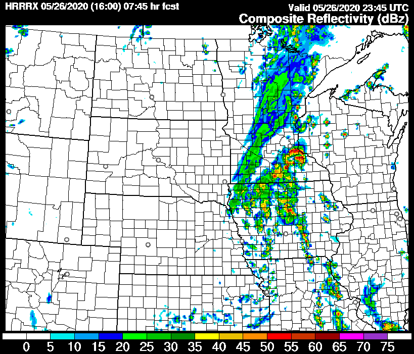
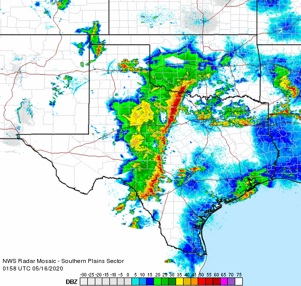
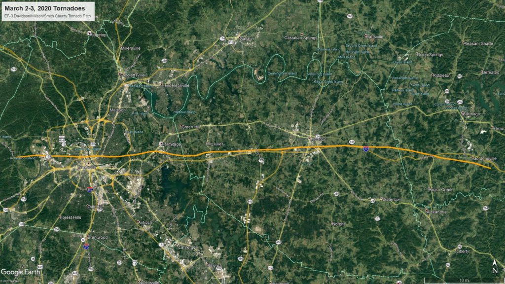
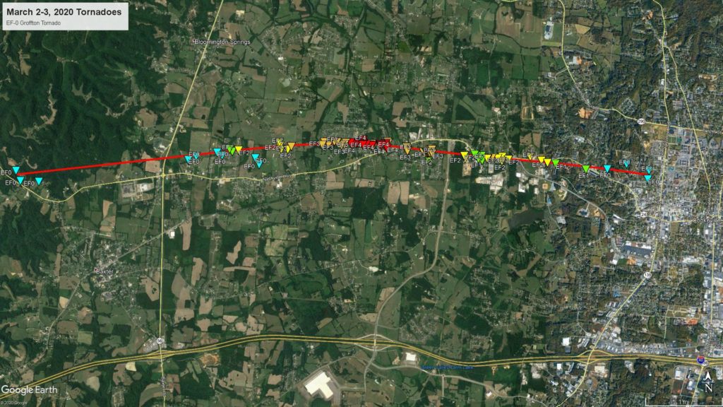
Consider the television meteorologist, who gets hate mail for interrupting programming to provide alerts when there is a dangerous situation in a particular viewing area. Just think of Nashville earlier this year, where a tornado tracked through the metropolitan area, killing dozens and injuring hundreds. Still, if you lived in Oak Hill, you were unaffected by the worst of the storms. There was no threat to you, but the Nashville system was heavily disrupted, and the TV Meteorologist had to warn for the whole system, even if it was simply an inconvenience in the south metro (and the far north metro, for that matter).
Now, that same TV Meteorologist might have to tackle the next severe outbreak, or even the next month’s worth of outbreaks, from their home office, rather than surrounded by colleagues and advanced monitoring equipment, as we all try to stay away from others to prevent the further spread of Covid-19. Of course, more people will be at home, hopefully paying attention to the television or radio when severe weather looms.
Of course, when a tornado or severe weather event strikes, it can lead to a mass trauma event. Many people need medical attention all at the same time. This pandemic is an ongoing, ever worsening mass trauma event as well. With the spring and severe weather coming, can any part of the country stand to bear another compounding disaster?
I fear we will find out this spring, and I am more fearful that we won’t like the answe,