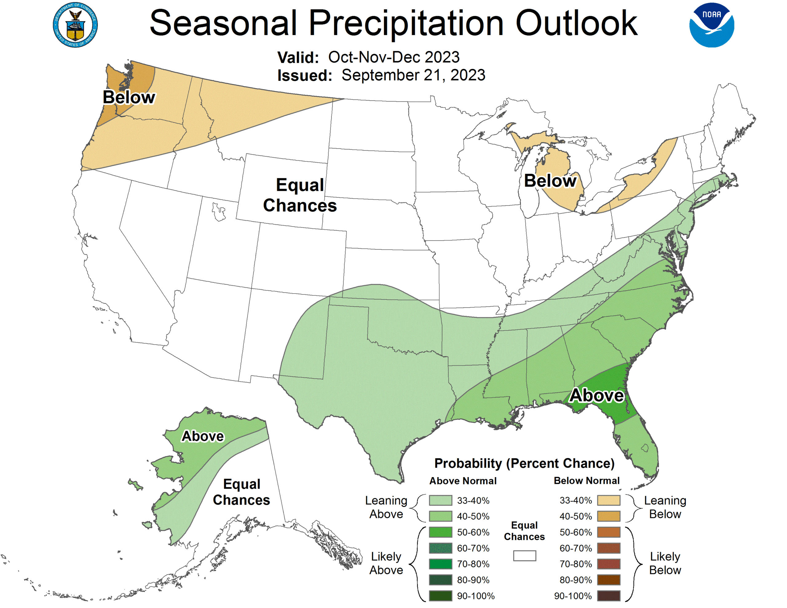
Wow, what a busy, wild Atlantic Hurricane season it has been! Oh, you don’t think so?
Let me run through some stats for you. There were 20 named storms, 7 hurricanes and 3 major hurricanes. That’s a higher than normal number of named storms, and about average on the hurricanes and major storms. Do any of them really stand out in your mind?
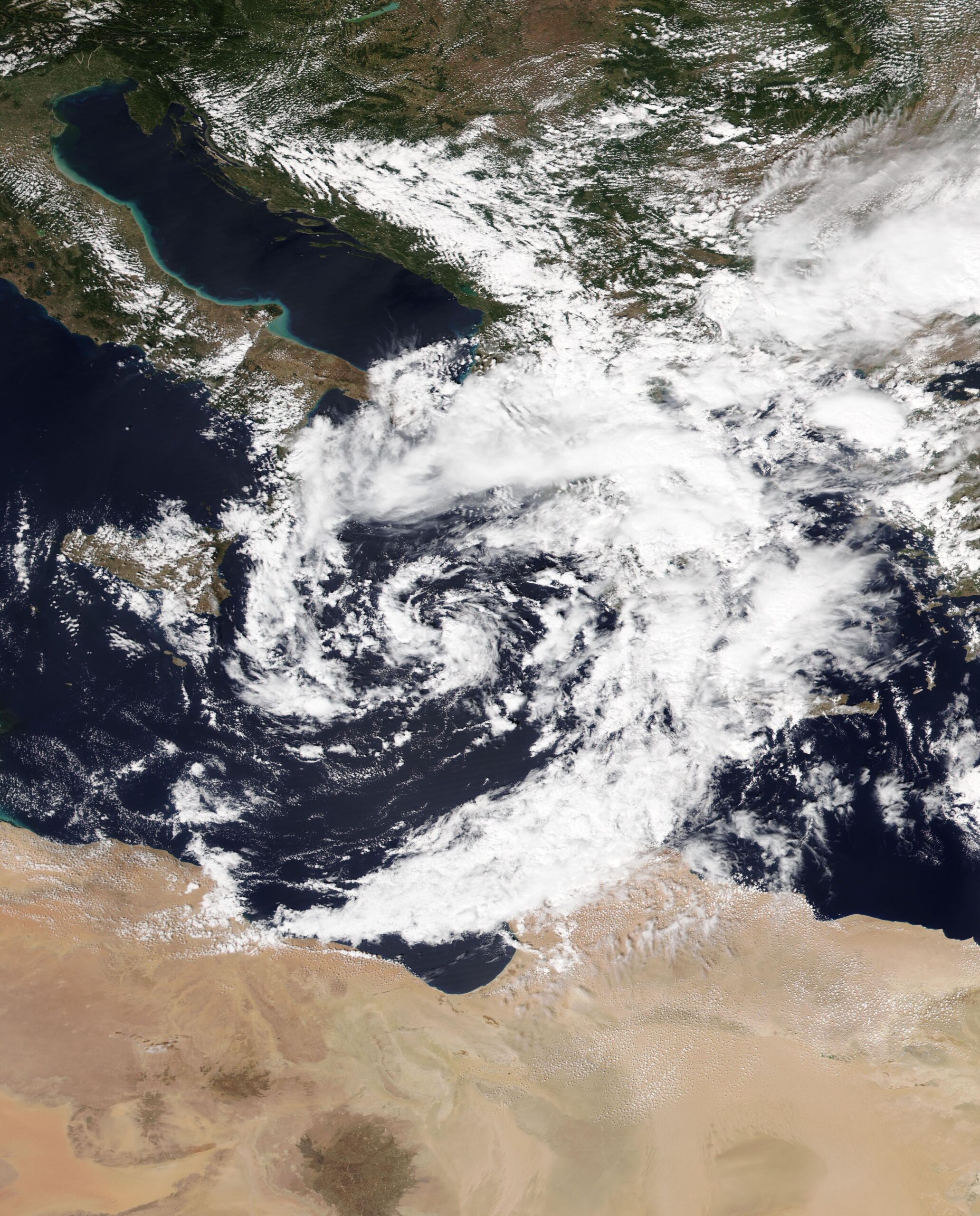
Hilary was a Pacific storm that inundated the southwestern US. Otis, North America’s most deadly storm, also came from the Pacific before it blasted Acapulco last month. The Pacific was certainly busier than normal, and saw more storms spiral back into the mainland than normal.
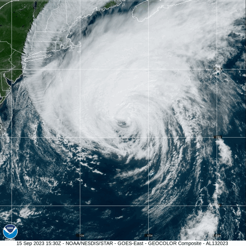
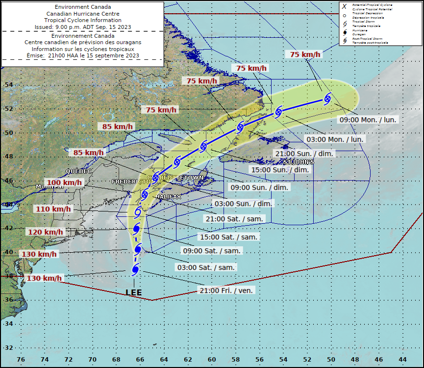
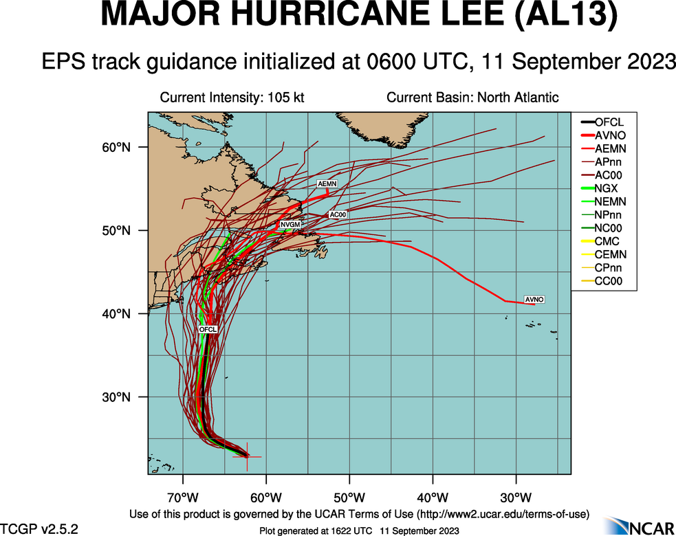
Rare is the season that we remember the Pacific more vividly than the Atlantic, but here we are. The three strongest storms in the Atlantic were Franklin, Idalia and Lee. Lee was the strongest, but managed to avoid large land masses when he was at the strongest, ultimately making landfall in Nova Scotia as a shadow of his former self.
Idalia, if any, is the storm we will remember. Insurance adjusters certainly will, but fortunately, the deadliest, most costly storm of the season claimed just 7 lives, despite hitting impoverished Hispaniola, Cuba and the Yucatan before landfalling in Florida near Apalachee Bay. Idalia did bring some incidental flooding and wind issues to Tampa and Tallahassee, but didn’t make a direct impact on any major population centers, blunting the loss of life as well as reducing the total damages.
In a period of history when we have dealt with deadly storms quite regularly, it’s great to have a year that was more fortunate. Make no mistake, though, this wasn’t a quiet year, just one where the storms kept their distance from the mainland.