Before I got the map for this trip, I wondered if it would take us through the Twin Cities or the Upper Peninsula, and it turns out, it was neither. It’s going to be a one day trip that takes us 627 miles and right through Chicago. The route through rural Wisconsin, followed by the decidedly not rural Chicago will slow us down to a 61mph pace, but that’s ok because we are getting it all done in one day.
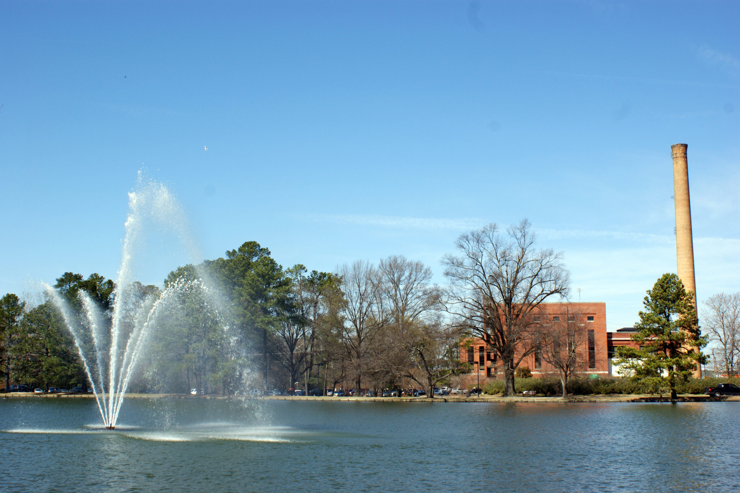
Duluth, Minnesota
I found what might be the least attractive angle of Duluth I could, just because the intent is to leave this fine city for Indiana. We will be between systems as we set forth tomorrow, which makes for a much easier drive. A warm front lifting north ahead of the next feature coming eastward will touch off some late showers or convention (probably convection, frankly) in northern Wisconsin. We will likely steer clear of the wet weather before it initiates, and will only deal with a hot, stuffy traffic jam late in the afternoon in Chicago, before we trundle on in to Kokomo.
We are traveling cross country this weekend, taking a solid 5 days through the northern US on our trek. It’s a 2,633 mile journey between the two cities in question, which we will do at a pace of 67.5mph. We’ll move quicker in the plains and slower through the mountains (Rockies AND Appalachians). All told, the goal will be 540 miles a day, at least through days 1-4.
DAY ONE (Friday)
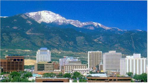
Spokane, Washington
What a grimy, miserable pattern that is setting up in the northern US. It’s very busy, and it looks to be that way when we set out on Friday. A cold front will move ashore overnight, and light rain with valley fog will dot the northern Rockies through Idaho and about as far as Frenchtown, Montana, which is west of Missoula. If that wasn’t frustrating enough, the massive complex bringing severe storms to the Upper Midwest will rotate moisture and instability from the northeast — the northeast! — which will press up against the Front Range in Montana, bringing isolated showers and storms to a typically drier stretch of Big Sky Country. Isolated storms are possible, and overcast is likely from Missoula, through Butte and Bozeman and indeed on to Billings, where we will reside for the night. There is a silver lining, I guess, finding a large town to stop in for the night in Montana!
DAY TWO (Saturday) OK, so there is some good news. The low in the north central US is lifting almost due north, which is allowing some more settled weather to develop in the middle of the country. This will leave a pretty good day of driving as we finish the drive in Montana, cut across Wyoming and finally enter South Dakota. We’ll navigate our way to Kimball, in the middle of the state, and call it a day.
DAY THREE (Sunday) The good fortune will continue on Sunday, as winds will turn west-northwesterly behind an emerging cold front in the eastern Great Lakes. The big system, now in Canada, will start hustling off to the east, towards Hudson Bay by Sunday morning. A weak little trough will develop in the wake of the front, and could set off some very vague showers and storms in southeastern Minnesota and western Wisconsin by the late afternoon, but I would expect dry conditions in the Madison area as we end our weekend.
DAY FOUR (Monday) That little post frontal trough is expected to move it about our pace on Saturday. Fortunately, it won’t really get active at any point during the day, but particularly early on as we try to get through Milwaukee and Chicago. Clouds and little bit of light rain will become increasingly likely late in the day as we bound through southern Ohio. We’ll make it to Jackson, which arrives just before the Ohio River and a border with West Virginia.
DAY FIVE (Tuesday) All this worrying, and it looks like it won’t shake out too badly. Precipitation will be well off shore by the time we traverse Appalachia and settle into the Carolina Plain. Off shore breezes will even work to scour out the threat of morning fog that tends not to stay confined to the AM. Of course, it looks active again in the High Plains as we arrive in Rocky Mount, but maybe that is why we went to North Carolina instead of there?
Rocky Mount, North Carolina By Harris Walker – https://www.flickr.com/photos/harriswalkerphotography/3342646285/in/album-72157615074534836/, CC BY 2.0, https://commons.wikimedia.org/w/index.php?curid=61707633
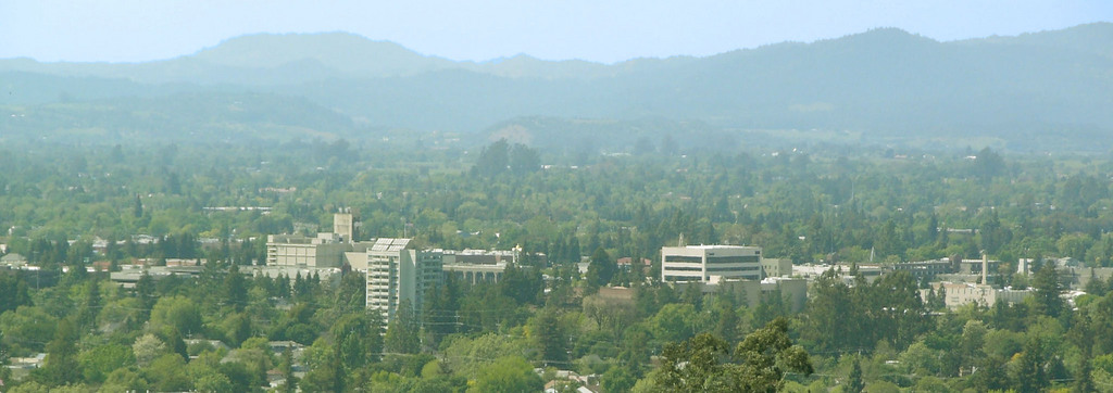
Spring is supposed to be here. Really, it should be right around the corner. Why not drive to the lake? Specifically, this day and a half trip will cover the 776 miles between Chesapeake Bay and southeast Wisconsin. We will make the journey at a pace of 60.3mph. Thanks side streets and Chicago! The first day drive will cover 482 miles, leaving that Chicago chunk for day two.
DAY ONE (Thursday)
Baltimore, Maryland
The cold air in pursuit of an offshore cold front is going to cycle through New England and the mid-Atlantic tomorrow, likely pressing some mid and low level clouds through the undulating terrain of Pennsylvania. Light rain looks to be suppressed by local high pressure, and moisture is getting drawn towards a developing lee trough. Cloudy and cool, then, until we get to the toledo area and call it a night.
DAY TWO (Friday)
A warm front will be working it’s way north throughout the day on Friday, starting, I suppose, even on Thursday. Moisture will be penned closer to the Mississppi and the Illinois-Missouri border as we pass through Chicago, though a DEFCON 1 rain shower can’t be ruled out as we navigate the Windy City. It’s going to rain this weekend in Racine, but it probably won’t be when we arrive.
It’s time for another road trip. We’re just going to take one day to head from Alabama to Missouri, crossing the Mississippi River and trying to dodge rain drops. It’s a 659 mile journey that we will cover at a pace of about 64.3mph, which is slowed by Memphis and not spending as much time as we would like on arterial interstates.
Anniston, Alabama
High pressure will be in retreat over the southern US, but it will still be comfortably in place in northern Alabama and Mississippi tomorrow. Dry skies with mostly sunny conditions will guide us through Birmingham and Tupelo, but an organizing system in Louisiana will start to kick some clouds north by the time we reach Memphis. Don’t be surprised if there are a few spits of rain starting around Hardy, Arkansas, which may linger the rest of the way through the Missouri Ozarks. North of the highest terrain, from Springfield to Joplin, it should be a bit drier, but the chances for rain are certainly not going to be zero.
It’s time for everyone to head for home, all of you spring breakers and snow birds. Our early April drive will take us from beautiful Tucson up to the eastern shores of Lake Michigan, where I promise lake effect season is almost done. It is a 3 1/2 day trek, covering 1904 miles of the heartland. The three full days will involve 544 miles of travel at 68mph. Nice round numbers. Let’s hope the whole day trip is as accommodating.
DAY ONE (Sunday)
Tucson, Arizona
A little clipper of a system is organizing in the Montana foothills right now, and it will move towards the Upper Midwest through the day on Sunday. Something to keep an eye on for later in the day and later in the week. It will likely induce some cross wind from the south, especially later in the day as a cold front organizes through central Colorado. Fortunately, we will be enchanted by New Mexico without any other weather concerns on Sunday. We will make it to the ghost town of Cuervo, just past our entrance to I-40 east of Santa Rosa, New Mexico.
DAY TWO (Monday) As the tail of the cold front to our north gets mixed up with hotter, more humid air in Texas and Oklahoma, it will start to churn up a bit more activity. We will have a dry time through the Texas Panhandle, but nearly the entire stretch of our drive in Oklahoma will be under the threat of showers and storms. Fortunately, we will be on the cold side of the feature by the time activity really gets going, but it will still be wet, with greater coverage northeast from Oklahoma City. We will get to Claremore, just past Tulsa, before we call it a night.
DAY THREE (Tuesday) Tuesday’s drive will be a master class in timing. Precipitation will blossom in the southern Mississippi Valley, shifting towards the southern Atlantic states. We will probably catch a bit of the back end of the system as we pass through Illinois, but by and large, we will avoid any significant weather on Tuesday. We dodged that system! Meanwhile, yet another feature is emerging in the northern Plains, bigger and stronger than the last one. This is going to start sliding southeast, robbed of some moisture by the preceding storm, but gnarly enough in its own way. This next storm will arrive in Odell, Illinois, a couple of hours after we do. Bullets dodged.
DAY FOUR (Wednesday) After a pretty fortuitous drive on Tuesday, things are going to be a little bit different on Wednesday. The next system is going to have a well put together cold front, running essentially along a line from Muskegon to Odell, We will be in windy rain through just about the entirety of the drive, including some spots of sleet as cold air tries to press in. Pretty gross. Don’t let it spoil your opinion of Muskegon, though.
I-95 is a busy stretch of road in the Mid-Atlantic, but we will spend a lot of time on this famous freeway south of Washington, where it successfully avoids a lot of the busiest spots. It will take two days to get from Jacksonville to Syracuse, and will cover 1071 miles. The pace of the drive will be 67.2mph, and we will make it about half way by the time the first day ends. One day mostly on I-95, one day mostly not.
DAY ONE (Friday)
Jacksonville, Florida
It’s going to be a rough day in Jacksonville, and indeed along the East Coast today as the system that has wrought havoc on the lower Mississippi Valley and surrounding environs continues to march towards the Atlantic. Areas west of Jacksonville are presently under a tornado watch, and a slight risk of severe weather extends all the way north through Virginia. Essentially, our route for day one. But we are leaving tomorrow, and the boundary will already have passed by, leaving a post-storm tranquility to the area. Dry, calm, potentially well trafficked conditions will proceed as we head through Georgia and the Carolinas to Emporia, Virginia, tucked away west of Norfolk.
DAY TWO (Saturday) It will be chilly in Emporia when we arrive Friday night, but it is far enough south that we will duck any of the late storm flurries that will be persistent in Pennsylvania and New York on Friday. A little bubble of high pressure will emerge over the mid-Atlantic to start the weekend, but clouds associated with this feature have been stubborn. Don’t be entirely surprised if it stays cloudy and cool, especially north of Washington, and then through the remainder of the route to Syracuse.
The snowbirds are returning to the north, and while I don’t think Albany is a bit vacation destination, I would imagine there are several people travelling through or near Albany. This particular drive will last two days and cover 992 miles. The drive snakes through some larger towns, and not as much open country as would be conducive to a fast trip, so our pace will be about 65mph, with a day 1 journey of 523 miles, with a little bit shorter day to end it. Go home, Snowbirds!
DAY ONE (Friday)
Albany, Georgia
What do I always say about spring and fall? The systems are bigger and badder, thanks to the clash of air masses, and the system that brought tornadoes to Austin and New Orleans, and continues to bring rain to the east coast, will linger on the Eastern Seaboard as we depart tomorrow, thanks to a deep occlusion and the whole beast just spinning itself over the Great Lakes. Our drive through Georgia and Tennessee will be just fine, but don’t be surprised to see clouds ahead of us when we reach Horse Cave, Kentucky. Lingering light precipitation isn’t moving too quickly thanks to the bogged down system. Horse Cave is near Mammoth Cave, so get away from all the weather worries and just go underground!
DAY TWO (Saturday) Guidance suggests a lot more movement as the weekend approaches, but I’m not as optimistic. I don’t think it is going to be fully cleared out, say north from Indianapolis, as the models project. It will be chilly and cloudy, with lingering moisture. I would, therefore, anticipate a wet snowflake to fall at any moment as we trudge through Chicago and on north into Milwaukee. Everything slows traffic in Chi-town, but this should be a mild dose of it. Even if it takes a while for this precipitation to shove off, Sunday in Milwaukee should start to look like spring.
Spring break! Georgia has some great vacation destinations, though I’m not entirely sure that Albany is a site many are thinking of. Our drive for this trek will take three days, with the final day a bit shorter. We’ll cover 543 miles at a day at a pace just shy of 68mph, ultimately traveling 1553 miles on our journey. It’s been active in the southeastern US. Will that continue?
DAY ONE (Sunday)
Colorado Springs, Colorado
As I noted, there have been a parade of strong systems moving through the Eastern US of late, and the most recent has just brought snow to the eastern Great Lakes and interior New England, with severe storms along the coastal Carolinas. Behind those features, high pressure has been returning to the Plains and Mississippi Valley. It’s been a chilly start to March, but warm air will start building north on Sunday in western Kansas. It won’t be warm, but it will be warmer as we end the day in Lawrence, Kansas.
DAY TWO (Monday) The next ripple will arrive in the Plains by the beginning of the week, but will initialize with a bit less vitriol than our most recent system. It will get there, but it won’t bother us too much on Monday. Guidance hints at some very scattered showers in Missouri, but they won’t be heavy enough to be a problem in the unfortunate event we pass through one. That threat should abate as soon as we cross into Illinois. Expect mostly cloudy skies with temperatures approaching seasonable in western Kentucky. We will finish the day just across the border in Clarksville, Tennessee.
DAY THREE (Tuesday) A much more focused wave will develop over the lower Mississippi Valley on Tuesday, and will quickly start moving towards our route. Light precipitation will start on the north end of the Atlanta metro. I feel like we should be dry in the high country, so we can save the fun for the chaos of Atlanta traffic. The real show comes around Macon, when thunderstorm activity will become more widespread and intense. Severe weather, including hail and tornadoes, isn’t out of the question. That will probably be the scene in around Albany when we arrive. Get indoors quickly!
It’s the depths of winter for a lot of us, but this is close to the time that the southern US starts to wake up for Spring. We’ll traverse the heart of the USA for our 3 day trip from Texas to Ohio. It’s a 1,488 mile journey, at a pace of 67mph, which will lend itself to a 537 mile drive on the first two days of our trek. We’ll finish the drive on a shorter day in order to enjoy all that Lima has to offer.
DAY ONE (Saturday)
Laredo is the county seat of Webb County, Texas, United States, on the north bank of the Rio Grande in South Texas, across from Nuevo Laredo, Tamaulipas, Mexico.
Another surge if cold air is headed for Texas this weekend. An area of low pressure is going to bring heavy snow to the Great Lakes, but for our drive tomorrow, the trailing cold front will arrive in Texas early in the day. Rain will squeeze out in front of the boundary, but that should hold off until we get to Austin. After that, wind and light rain will be a concern through the early afternoon. Some wet snow could mix in before the rain ends while we approach Dalls. Clearer conditions will try to press in by the end of the day, but expect it to be chilly, and for some slick, icy spots on the roads. We’ll end the day in Winfield, Texas
DAY TWO (Sunday) So much for the hints of spring I was hoping for. It’s still going to be cold for our route through the south central US. The deepest part of the thermal trough will align, essentially, with our route on Sunday, but fortunately, the precipitation will be confined well south of our route, closer to the Gulf Coast. The day will end in Bellevue, Tennessee, a southwest suburb of Nasville.
DAY THREE (Monday) Another clipper is going to scoot through the Great Lakes to start the week, another in a series of similar features. This one will ride a bit further north of the tracks that have been in place lately, and won’t likely bring snow to Lima. Fortunately, Lima is in the one spot of northern Ohio that isn’t susceptible to lake effect snow, so expect some clouds, but a pretty generic winter day in Lima when we arrive.
Let’s set forth on the open road this afternoon, and take a 4 day journey from California to the Southeast. The drive will cover four days, with the final day running very long. At that point, we will be inured to the long driving, though. That’s been my experience. It will be a 2,443 mile journey, paced at a blistering 69.8mph, which means we will cover 558.4 miles a day on those first few days.
DAY ONE (Sunday)
Santa Rosa, California
By JLankford – wikitravel, Public Domain, https://commons.wikimedia.org/w/index.php?curid=37654846
As is often the case with drives through California, the weather will be sunny and clear. High pressure in the Intermountain West is producing some gusty Santa Ana winds, so keep your hands on the wheel and be wary of high profile vehicles in other lanes. The drive will start taking us inland, but will mostly be a southward drive. We’ll end up at the Mohave National Preserve in southern California.
DAY TWO (Monday) These will be good days to continue driving in the southwestern US. It will be the warmest part of cthe country, and will be ensconced in high pressure. A broad trough will be pushing south, but will remain well to our north on Monday. The wind may pick up as a result, but we will still be dry. The day will end on the west side of Albuquerque.
DAY THREE (Tuesday) That trough I referenced from Monday will help in the generation of a system in the Gulf of Mexico. This isn’t pertinent to our driving conditions on Tuesday, but should indicate how much further the cold air will press south. It’s already chilly in the southern Plains, but it will be well below freezing, even in Midwest City, one of Oklahoma City’s eastern suburbs to finish the day, and it will be cold.
DAY FOUR (Wednesday) The active weather will continue to be pressed further south, even, than our southern US route. Be wary of drivers from Oklahoma to Alabama, though, as they are not used to even the slightest bit of ice on the roadways. It’s going to be cold in Gadsden, and even I, a Minnesotan, is saying that.