Prescott is the sweet spot of Arizona. Not as hot as Phoenix in the summer, not as snowy as Flagstaff in the winter. Sweet.
At 753PM, MT, Prescott was reporting clear skies with a temperature of 40 degrees. Clear skies have moved across Arizona in the wake of a fairly wet week across the state.
A high amplitude but somewhat shortwave trough is rolling through the western US, allowing for surface high pressure across the Intermountain West. Expect continued zonal flow across Arizona, which should mean a few scattered clouds in Prescott.
Tomorrow – Partly cloudy, High 62, Low 27
Monday – Mostly cloudy, High 59, Low 32
TWC: Tomorrow – Mostly sunny skies. High 60,
Monday -Cloudy. High 59, Low 33
AW: Tomorrow – Mostly sunny High 60, Low 27
Monday – Mostly cloudy High 60, Low 30
NWS: Tomorrow Sunny, High 57, Low 29
Monday – Mostly cloudy High 57, Low 35
WB: Tomorrow – Mostly sunny in the morning, then becoming partly cloudy, High 59, Low 30
Monday – Mostly cloudy, High 57, Low 34
WN: Tomorrow – Mostly sunny, High 57, Low 29
Monday – Mostly cloudy, High 57, Low 34
FIO: Tomorrow – Clear throughout the day, High 59, Low 30
Monday – Overcast throughout the day. High 59, Low 34
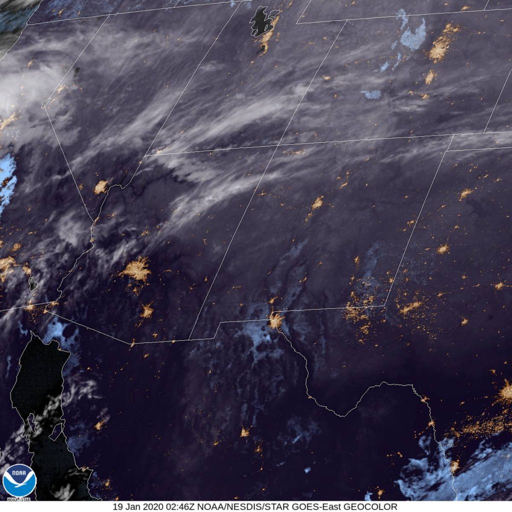
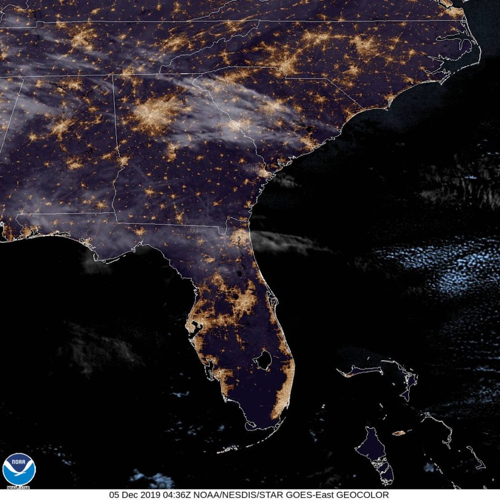
Well, that’s about it. Pretty easy breezy, if I’m being honest. Take a look at this fairly tranquil satellite imagery. I can see Phoenix!