Hello! We’re back with another forecast, and this time, we’re off to Santa Barbara on the California coast, upstream from Los Angeles. It’s a nice town, by all accounts. Will the weather be just as nice?
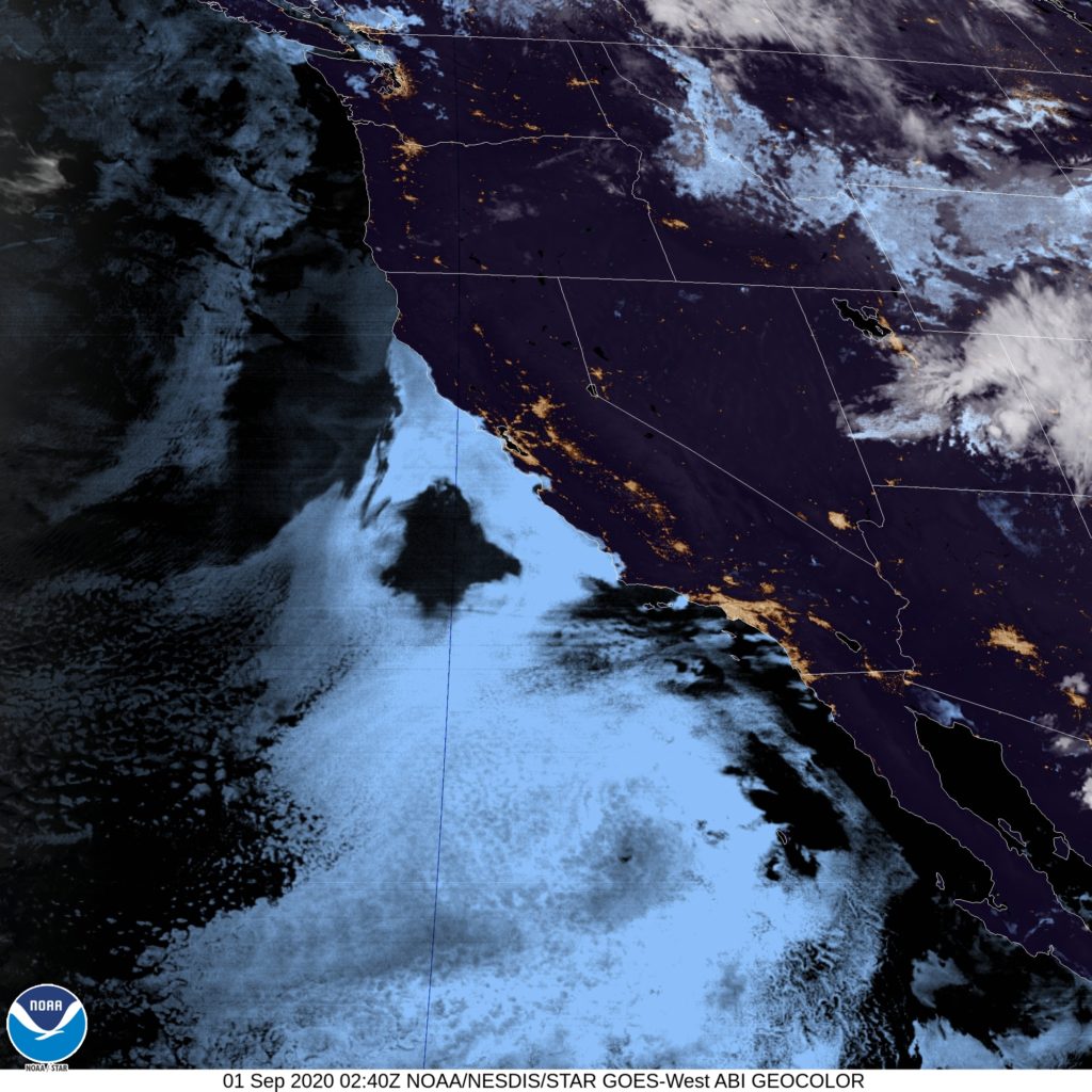
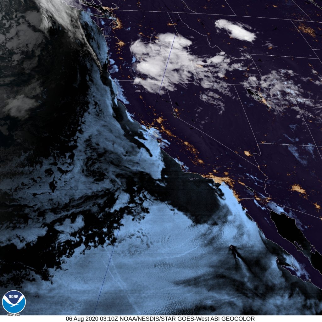
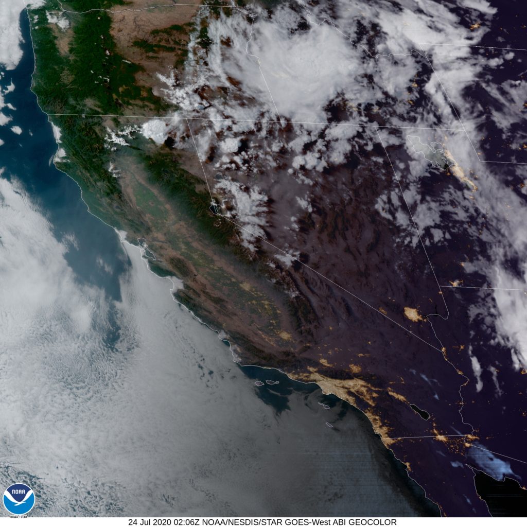
At 753PM, PT, Santa Barbara was reporting clear skies with an onshore breeze and a temperature of 62 degrees. It seems like a a prime night for fog and low clouds rolling in, leaving to a dreary morning. Indeed, satellite shows the marine layer settling in already from Lompoc to the Bay Area.
An area of low pressure inland is helping to drive the onshore flow, though that is expected to pivot eastward through the period which will leave the flow to more local forces. Not much change in pattern is expected along the coast in Santa Barbara.
Tomorrow – Morning clouds and fog, clearing by mid morning, then sunny, High 71, Low 57
Wednesday – Clouds and fog continue, but less than Tuesday, High 75, Low 56
TWC: Tomorrow – Some clouds in the morning will give way to mainly sunny skies for the afternoon. High 70, Low 58
Wednesday – Mainly sunny. High 73, Low 58
AW: Tomorrow – Mostly sunny and pleasant High 72, Low 57
Wednesday – Areas of low clouds early; otherwise, mostly sunny and nice High 72, Low 57
NWS: Tomorrow – Patchy fog before 11am. Otherwise, cloudy through mid morning, then gradual clearing, High 78, Low 62
Wednesday – Patchy fog before 11am. Otherwise, cloudy through mid morning, then gradual clearing, High 79, Low 62
WB: Tomorrow – Low clouds and fog in the morning, High 70, Low 59
Wednesday – Low clouds and fog in the morning, High 70, Low 59
WN: Tomorrow – Partly cloudy, High 74, Low 60
Wednesday – Partly cloudy, High 74, Low 60
FIO: Tomorrow – Clear throughout the day. High 71, Low 56
Wednesday – Clear throughout the day. High 75, Low 59
Look at the temperatures. Do you think the Weather Service knows something? Here is a look at the satellite showing the clouds creeping up the coast.