Is is a good sign that the first forecast of the year is from a city notable for it’s gambling?
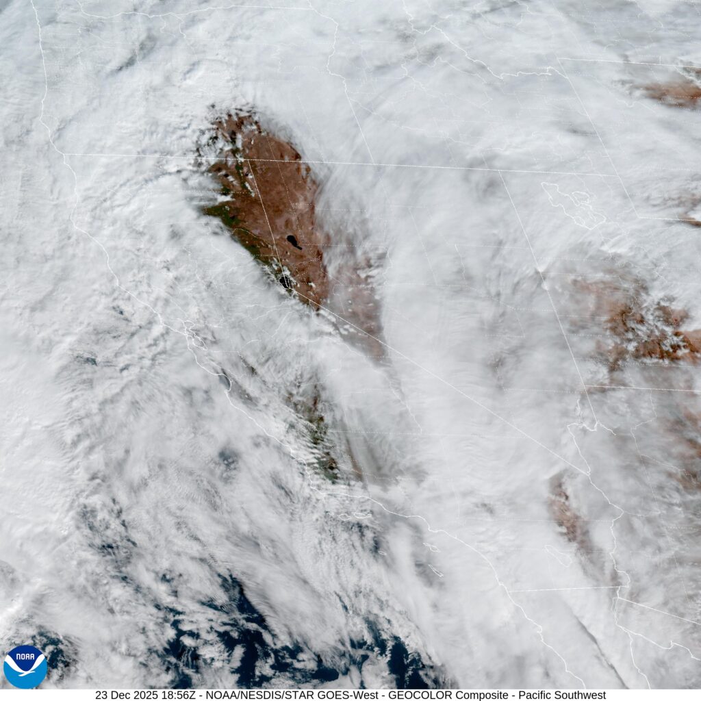
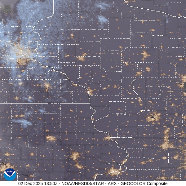
At 454PM, ET, Atlantic City was reporting a temperature of 29 degrees with clear skies. The region is between two jet streak troughs, which is continuing to lead to a deep area of low pressure over Nunavut that continues to instigate Lake effect snow in the eastern Great Lakes. The southern flank of the trough is going to provide a nurturing environment for cyclogenesis in the Lower Mississippi Valley initially, moving east towards the Carolinas.
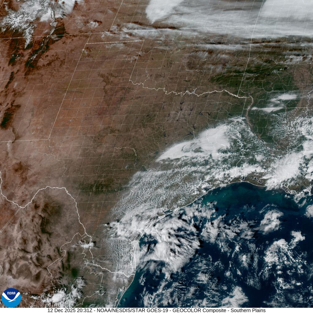
Low pressure will continue to move eastward today from its present home in Arkansas, eventually reaching the Gulf Stream by tomorrow evening. The feature will subsequently continue to deepen and move north along the oceanic current. The pattern aloft will keep the unsettled weather offshore, and the welling from the south may lead to a bit of a warm up for Sunday. Not significant, but every degree this time of year helps.
Tomorrow – Mostly sunny, High 37, Low 22
Sunday – Mostly cloudy, High 40, Low 27
TWC: Tomorrow – Cloudy skies High 33, Low 22
Sunday – Partly cloudy. High 37, Low 26
AW: Tomorrow – Breezy with some sunshine giving way to clouds High 34, Low 25
Sunday – Mostly sunny and breezy High 38, Low 30
NWS: Tomorrow – Increasing clouds High 33, Low 22
Sunday – Mostly cloudy, then gradually becoming sunny High 38, Low 27
WB: Tomorrow – Partly sunny in the morning then becoming cloudy High 31, Low 25
Sunday – Mostly sunny. High 36, Low 29
WN: Tomorrow – Mostly cloudy 33, Low 23
Sunday – Mostly sunny, High 38, Low 28
CLI: Tomorrow – Overcast High 34, Low 23
Sunday – Sunny, High 38, Low 28
There is going to be a bit of a range inland where the airport lies and the city center. so we will see how the forecast plays out. Here is the Accuweather regional forecast, via ABC news in Philadelphia.