Central Illinois is calling our name this evening.
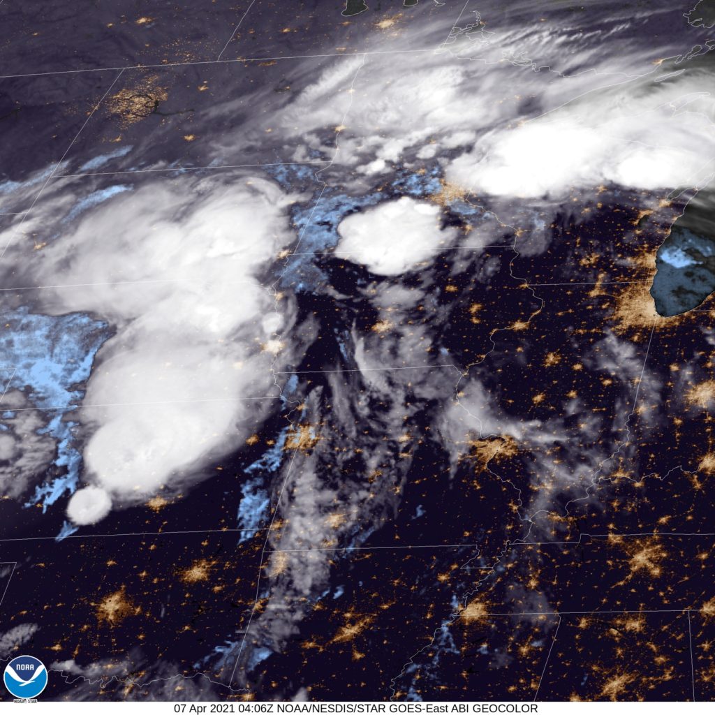
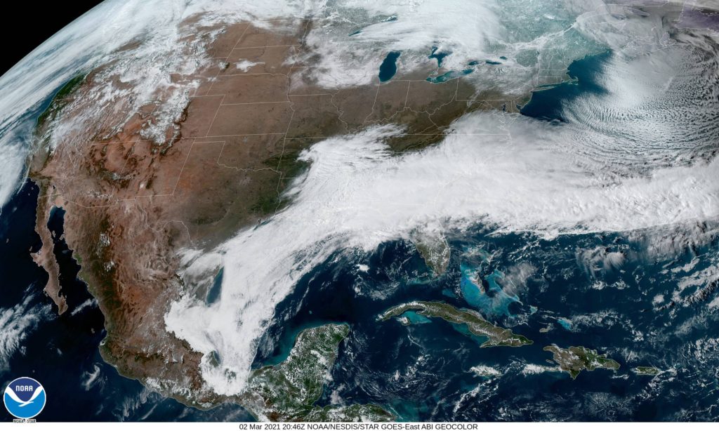
At 1054PM, CT, Decatur was reporting clear skies with a temperature of 66 degrees. An active area of low pressure west of the Mississippi was drawing warm moist air north into Illinois, lending to the stuffy overnight temperatures, but a great deal of rain, with embedded thunderstorms was on it’s way. Fortunately, the warmer weather should continue through most of the day tomorrow.
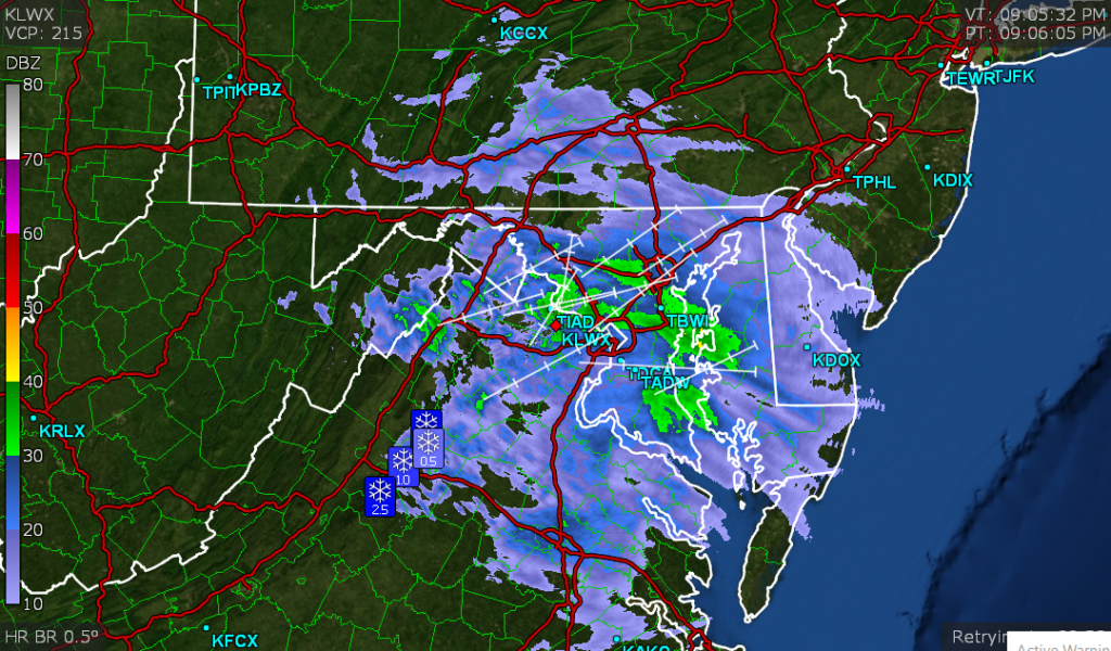
The sharp curl to the upper jet will induce occlusion of the system through tomorrow morning, slowing the system down and taking the teeth out of the precipitation as it moves through Decatur. Severe weather, and even strong thunderstorms are unlikely. Wet weather will arrive in the evening in Decatur on Wednesday, with rain continuing, heavy at times through Thursday morning. Cooler, damp air will linger later in the day on Thursday as low pressure parks itself in central Illinois. With a murky upper level pattern, the lingering moisture over Decatur will help set the stage for shower and thunderstorm activity later this week.
Tomorrow – Late rain, some thunderstorms close to midnight, High 77, Low 60
Thursday – Heavy rain, then overcast with spots of drizzle, High 61, Low 52
TWC: Tomorrow – Cloudy in the morning with scattered thunderstorms developing later in the day. High 77, Low 60
Thursday – Cloudy early with showers for the afternoon hours. High 60, Low 53
AW: Tomorrow – Some sun, then increasing clouds and windy; a thunderstorm in spots in the afternoon High 77, Low 61
Thursday – Mainly cloudy, breezy and cooler with a couple of showers High 61, Low 52
NWS: Tomorrow – A 20 percent chance of showers after 2pm. Partly sunny, High 75, Low 60
Thursday – A 40 percent chance of showers after 1pm. Partly sunny High 60, Low 52
WB: Tomorrow – Mostly Sunny, 20% chance of rain showers in the afternoon, High 75, Low 61
Thursday – Cooler. Partly sunny with a 50% chance of rain showers, High 61, Low 55
WN: Tomorrow – Partly cloudy with scattered showers, High 75, Low 60
Thursday – Partly cloudy with scattered showers. High 59, Low 52
FIO: Tomorrow – Rain overnight and in the evening. Hugh 77, Low 5
“Thursday – Rain until morning, starting again in the evening. High 65, Low 51.
Illinois looks nice on satellite, but those poufs of cumulonimbus west of Mississippi bear watching.