I consider myself a geography aficionado. It’s something I am good at, but frankly, I constantly confuse Ogden and Provo. Ogden, if you were curious, is north of Salt Lake City.
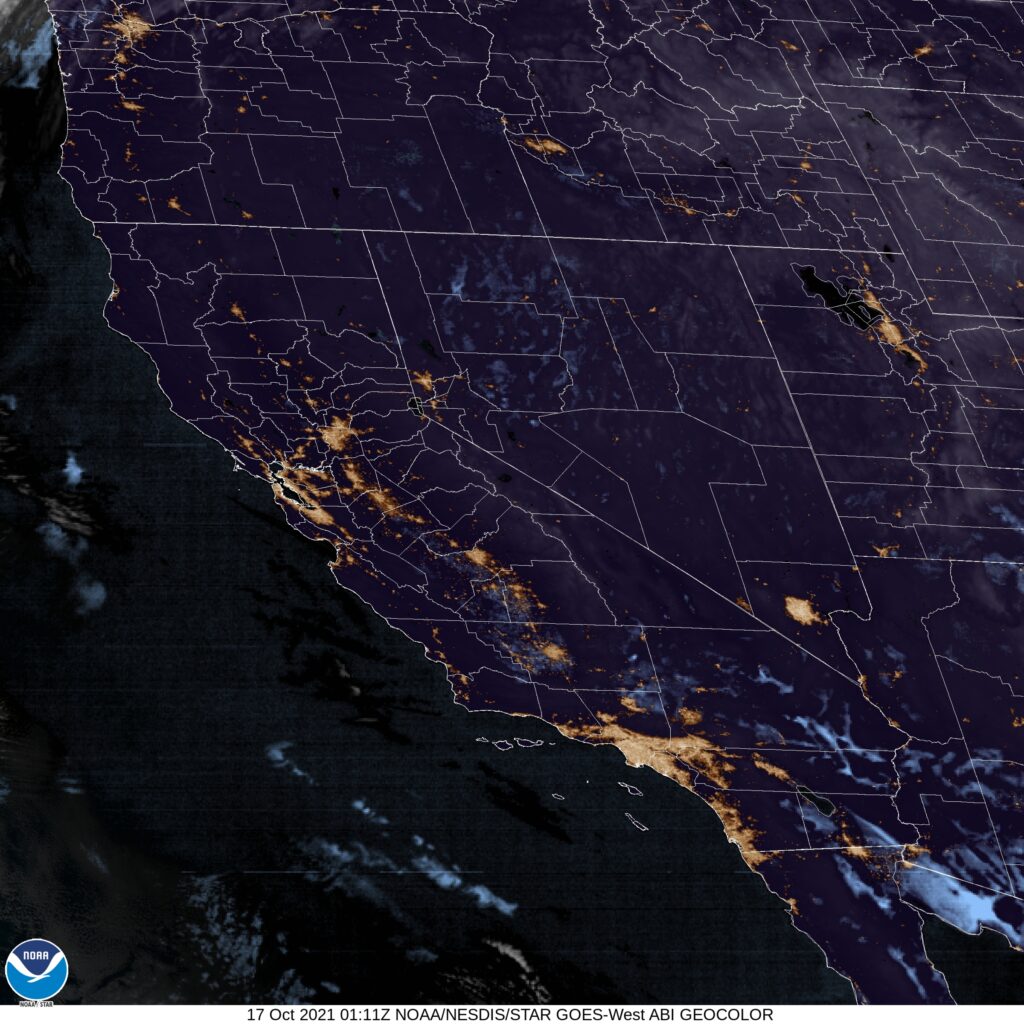
At 653PM, MT, Ogden was reporting a temperature of 59 degrees with clear skies. There really weren’t many clouds anywhere across the western United States as residents try to reclaim some autumn after an early shot of snow last weekend.
A fast moving upper level low will rotate through the central Pacific Coast towards Utah, bringing about some clouds to the region, with high elevation snow becoming likely again. Precipitation will arrive on Monday morning, and down by the Lake, Ogden will see only rain. There should be some improvement after sunset, but only at the end of a rainy afternoon.
Tomorrow – Sunny, High 69, Low 41
Monday – Rain through the daylight hours. High 57, Low 42
TWC: Tomorrow – Generally sunny despite a few afternoon clouds, High 70, Low 42
Monday – Cloudy with rain developing later in the day. High 57, Low 44
AW: Tomorrow – Mostly sunny High 69, low 40
Monday – Cooler with clouds and breaks of sun; breezy in the morning with a thunderstorm in spots followed by afternoon showers High 58, Low 41
NWS: Tomorrow – Sunny, High 69, Low 40
Monday – Rain, mainly after 1pm High 56, Low 42
WB: Tomorrow – Sunny in the morning, then becoming partly cloudy, High 67, Low 41
Monday – Breezy. Partly sunny with a slight chance of rain in the morning, then cloudy with rain in the afternoon. High 56, Low 43
WN: Tomorrow – Mostly sunny, High 69, Low 42
Monday – Mostly cloudy with light rain, High 56, Low 50
FIO: Tomorrow – Partly cloudy throughout the day. High 74, Low 43
Monday – Rain until night, starting again in the afternoon, high 63, Low 49
I’m not sure what broker at Forecast.io, but they sure have different forecasts. Forecast lows are all non-standard for Monday, except Weather Nation who don’t have hourly forecasts that deep into the night. The satellite is pretty empty