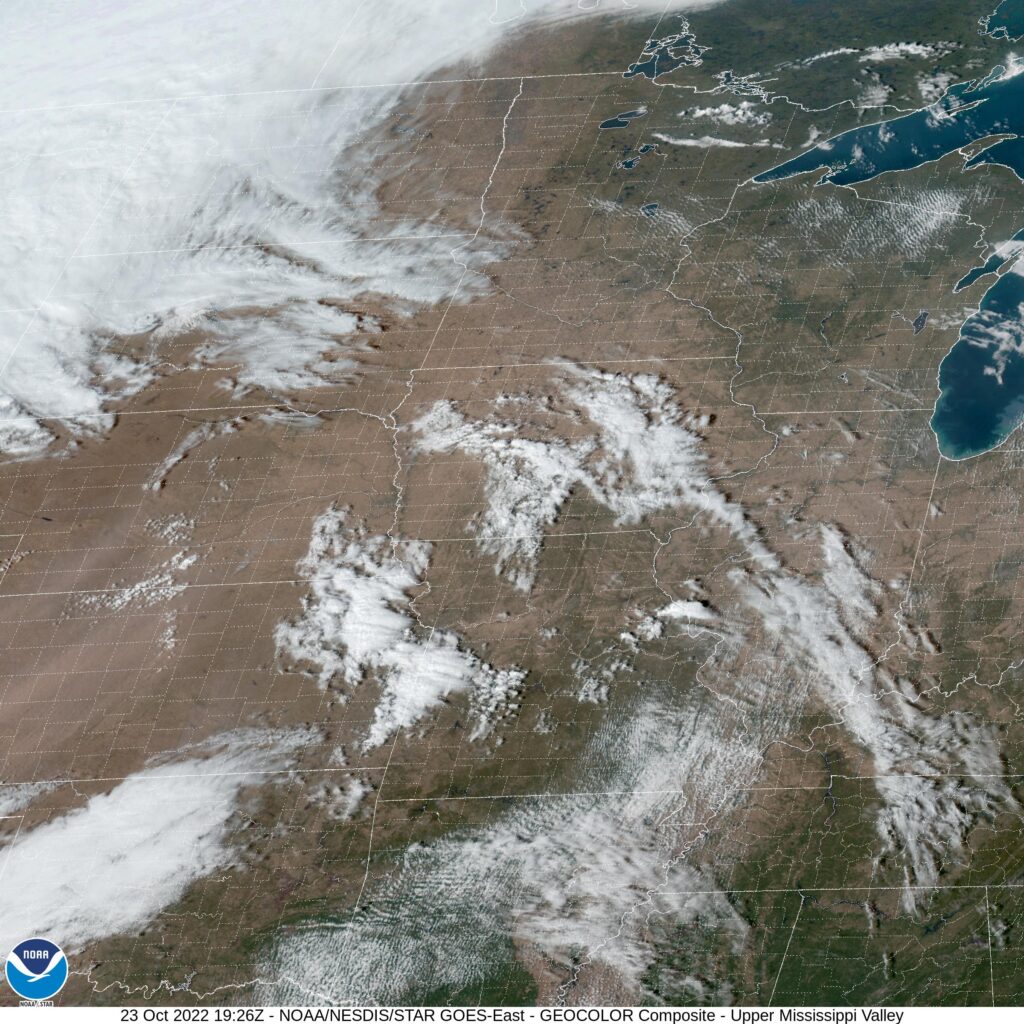
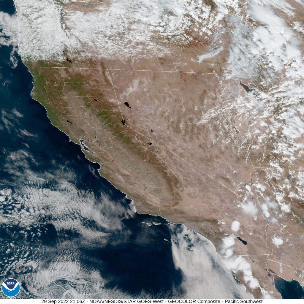
Columbia is the home of the University of Missouri, and like most of the population of Missouri, isn’t terribly far from St. Louis.
At 154PM, CT, Columbia was reporting a temperature of 83 degrees with fair skies. Low pressure moving through the northern Plains was inducing brisk southerly winds that were bringing temperatures up to unusually high levels, and introducing a little bit of moisture to the atmosphere. Columbia was on the cusp of drought, but is not presently under a red flag warning, even with the gusty winds.
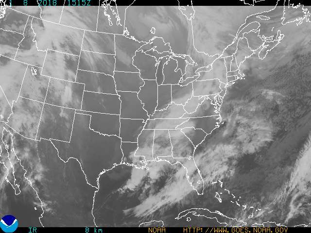
The strong feature in the Plains is going to gain a tighter circulation and start moving north toward the Dakotas and Minnesota. The cold front, owing to the primarily northerly vector of the system, will be slow moving. The boundary will flare in Kansas and Oklahoma tomorrow morning, and slowly traipse across Missouri before arriving in Columbia in the evening on Monday. The base of the trough will be fertile ground for more cyclonic development, and a wave will develop in the Red River Valley and move north, ensuring that after the rain and thunder start on Monday, it will persist, though likely with less thunder, through the early part of Tuesday, with colder temperatures following.
Tomorrow – Rain and thunder arriving late after another warm October day. High 74, Low 54
Tuesday – Rain through the afternoon, then clearing, High 54, Low 46
TWC: Tomorrow – Cloudy with occasional rain in the afternoon. Thunder possible High 72, Low 50
Tuesday – Periods of rain High 52, Low 49
AW: Tomorrow – Mostly cloudy, breezy and not as warm; a couple of afternoon showers and a heavy thunderstorm High 72, Low 55
Tuesday – Cloudy, breezy and cooler with heavy rain tapering off High 55, Low 46
NWS: Tomorrow – Showers, mainly after 2pm High 73, Low 59
Tuesday – Showers likely, mainly before 2pm. Mostly cloudy High 59, Low 46
WB: Tomorrow – Cloudy, showers in the afternoon, High 74, Low 56
Tuesday – Showers likely mainly in the morning, High 57, Low 46
WN: Tomorrow – Mostly cloudy with showers, High 74, Low 63
Tuesday – Mostly cloudy with scattered showers, High 56, Low 48
FIO: Tomorrow – Rain throughout the day. High 79, Low 63
Tuesday – Rain throughout the day. High 67, Low 46
It is non-standard temperature season! What a rainy forecast for eastern Missouri. I wouldn’t be surprised to see several inches of rain in some parts of the state. The low is easily apparent up in Montana even this afternoon.