
I saw that we are on the cusp of some changes to the pattern in the interior northwest. It is October, so perhaps you can guess what kind of changes those might be.
At 1153AM, MT, Pocatello was reporting clear skies and a temperature of 62. The clear skies were leading to chilly nights with the low dew points, but the sunshine meant temperatures were unbound in the afternoon, and record highs have been dotting the region of late. The low trough off the west coast in conjunction with the ridge has established what is known as a Rex Block, stifling flow in Idaho.
The western US is going to remain under this Rex Block until the weekend, and flow through the region will remain fairly stagnated. Expect some morning haze or smog, especially in the valleys, thanks to the lack of flow at the surface, but continued warm temperatures and sunny skies in the afternoon. Things will be quite a bit different this weekend, however.
Tomorrow – Sunny with haze, High 76, Low 35
Wednesday – Sunny, hazy in the morning, High 73, Low 34
TWC: Tomorrow – Sunny skies High 76, Low 36
Wednesday – Intervals of clouds and sunshine. High 74, Low 35
AW: Tomorrow – Warm with plenty of sunshine High 76, Low 34
Wednesday – Brilliant sunshine and warm with the temperature approaching the record of 78 set in 1950 High 75, Low 35
NWS: Tomorrow – Sunny, High 74, Low 42
Wednesday – Sunny, High 73, Low 43
WB: Tomorrow – Sunny, areas of frost in the morning, High 72, Low 35
Wednesday – Sunny, High 71, Low 36
WN: Tomorrow – Sunny, High 74, Low 42
Wednesday – Mostly sunny, High 73, Low 43
FIO: Tomorrow – Clear throughout the day. High 74, Low 40
Wednesday – Partly cloudy throughout the day. High 72, Low 37
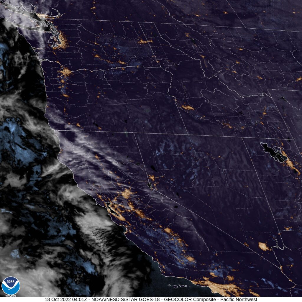
Pretty different forecast lows, but consistent elsewhere. Makes sense when the satellite imagery looks like this. By the way, the change I hinted at in the intro is coming over the weekend. It’s going to get cold and snowy for a lot of the Northwest.
Comment (1)