Arizona has a reputation as being a hot, nearly desolate place in the summer, outside of Phoenix, which is simply hot. Many population centers in Arizona though, have sought refuge in the cooler mountains in the rest of the state. Prescott is one of those towns!
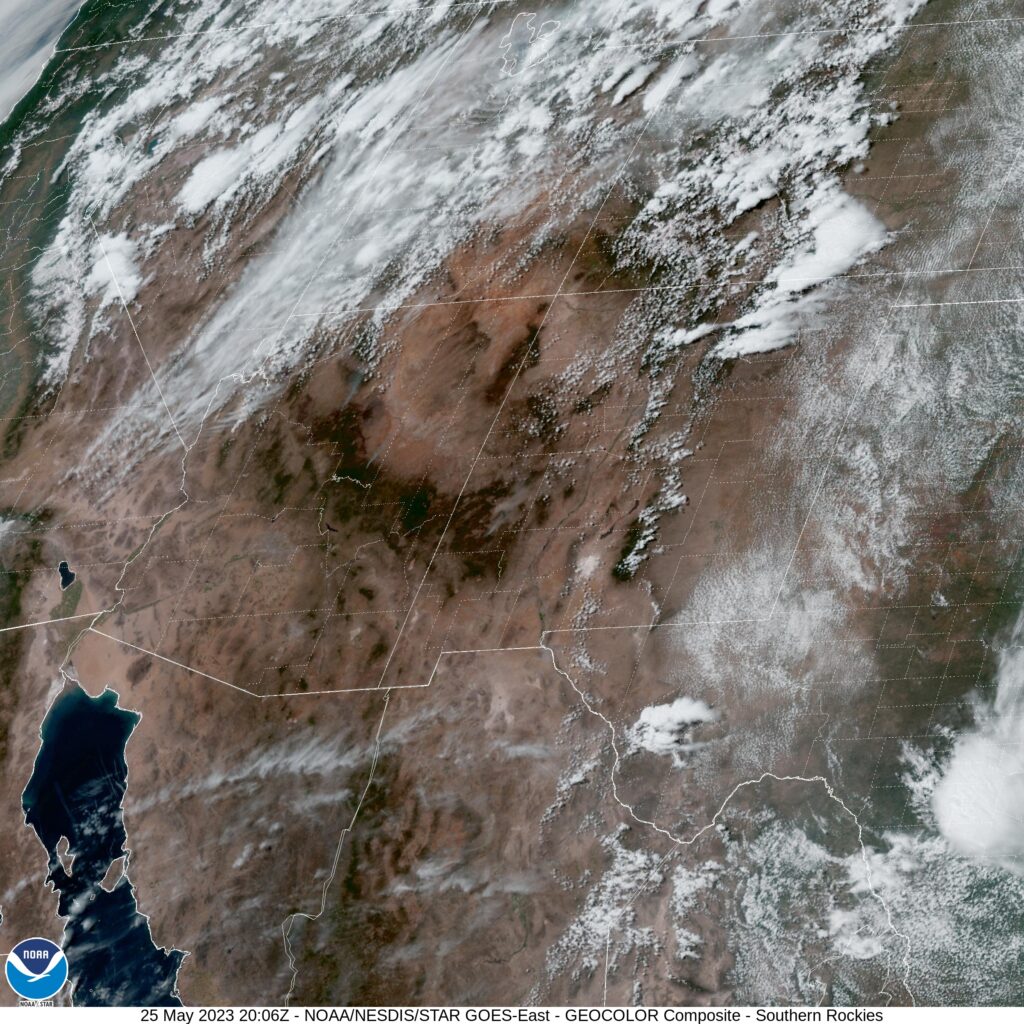
At 1253PM, PT, Prescott was reporting clear skies and a temperature of 75 degrees. As if to illustrate the point of a chillier time in the mountains, the Sun Valley and Phoenix remained in the upper 90s. Temperatures were decided by elevation, and moisture was relatively low. The dry line straddling the Texas-New Mexico border was active, and keeping Prescott and the southwest out of the monsoon, which was already ongoing in the central Rockies.
Aiding the dry line was a weak area of low pressure that had found its way to an anchorage in the southwestern corner of the US. A blocking pattern in the center of the US was going to keep this regime in place for the next several days at least, with moisture kicked up and around the Grand Canyon State. The low pressure will help ensure temperatures in Prescott don’t match those found at lower elevations and to the south for the duration of the forecast period.
Tomorrow – Mostly sunny, High 72, Low 49
Saturday – Mostly sunny, high 76, Low 49
TWC: Tomorrow – Mainly sunny, High 73, Low 48
Saturday – Sunny, High 75, low 46
AW: Tomorrow – Plenty of sun; breezy in the afternoon High 77, Low 48
Saturday – Pleasant with plenty of sunshine High 77, Low 44
NWS: Tomorrow – Sunny, High 77, Low 47
Tomorrow – Sunny, High 79, Low 47
WB: Tomorrow – Breezy, Sunny, high 72, Low 42
Saturday – Sunny, high 74, Low 41
WN: Tomorrow – Sunny, High 72, Low 44
Saturday – Mostly sunny, High 78, Low 47
CLI: Tomorrow – Sunny, High 73, Low 48
Saturday – Sunny, high 75, Low 46
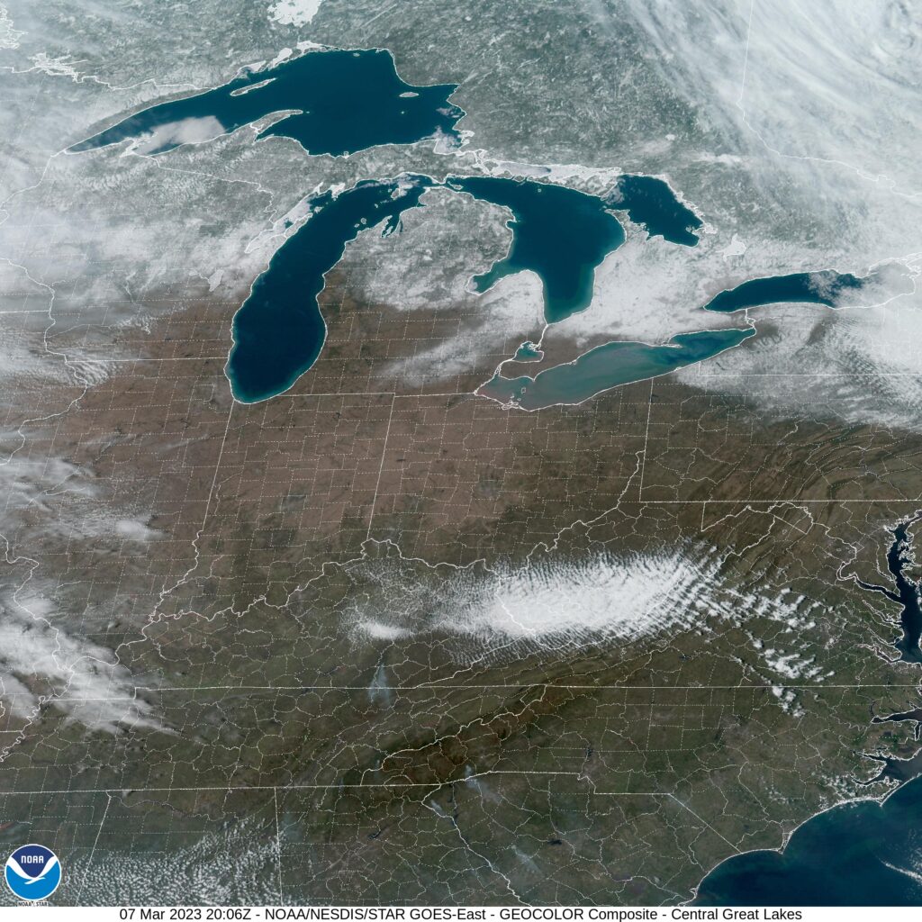
The low temperature guidance is completely divergent, and it appears as though many of our competitors are heeding the longer range, larger scope models. I’m wary, because it is the higher resolution models that are going warmer. I tend to trust them a little bit more when terrain is in play. And thus, I am on the higher end of those low forecasts. Here is the satellite centered over New Mexico, highlighting the flow up and around Arizona.